
tdanielson / Added Videos
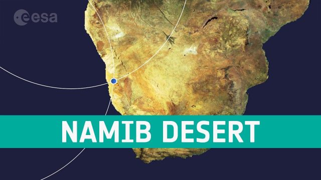
Earth from Space: Namib Desert
610 Views0 Comments0 Likes
The Copernicus Sentinel-2 mission takes us over part of the Namib Desert, considered the oldest desert on Earth, in this week's edition of the Earth from Space program.
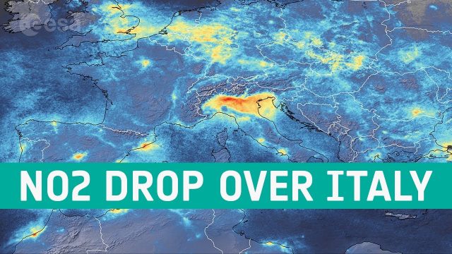
Coronavirus: Nitrogen Dioxide Emissions Drop over Italy
1.39K Views0 Comments0 Likes
New data from the Copernicus Sentinel-5P satellite reveal the decline of air pollution, specifically nitrogen dioxide emissions, over Italy. This reduction is particularly visible in northern Italy which coincides with its nationwide lockdown to prevent the spread of the coronavirus.
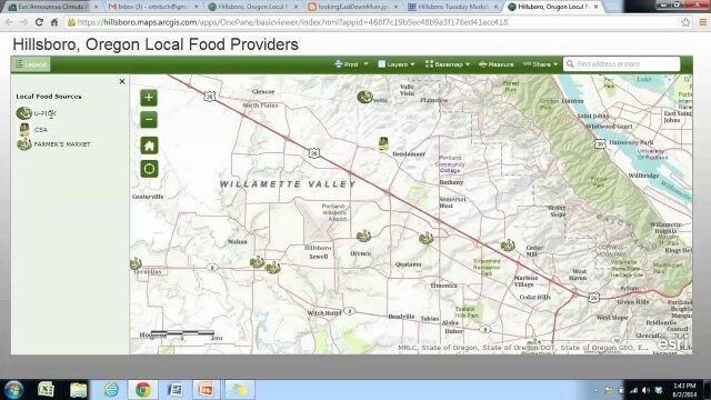
Local Food Alternatives in Washington County
2.59K Views0 Comments0 Likes
The app provides information on the availability of local and seasonal produce from nearby farms, markets, and vendors to empower Washington County consumers to reduce their carbon footprint and support their local community.
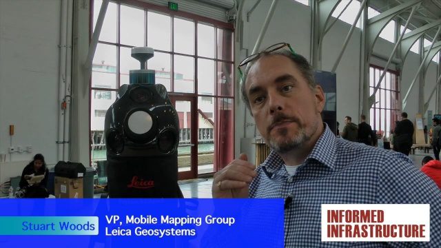
Digital Surveying Improves with Mobility and Multiple Sensors
3.50K Views0 Comments0 Likes
The V1 Video team interviewed Stuart Woods, VP, Mobile Mapping Group, Leica Geospatial, at the REAL 2016 event in San Francisco. He discussed the future of digital surveying, increased mobility in a variety of technologies, how multiple sensors help get the job done, and the company's new Pegasus Backpack product.

RideAmigos UNITY
2.26K Views0 Comments0 Likes
Uniting entities that create the data needed to provide rich visualizations and insights into commuter habits globally, Unity enables unlimited public and private networks within a region to create behavioral changes and eliminate traffic by allowing users to sync data to Esri ArcGIS software for modal analysis. Users can also explore how each mode contributes to greenhouse gas emissions and climate change.
4_23 Infrastructure Broadcast (Transportation, AASHTO and More)
3.35K Views0 Comments0 Likes
This Infrastructure-themed GeoSpatial Stream broadcast highlights an Earth Day video from the American Association of State Highway and Transportation Officials (AASHTO); news on infrastructure from the United States, Canada and Saudi Arabia; industry news from Topcon Positioning Group, Esri and Autodesk; a clip from an infrastructure-related interview at SPAR International; and more.
8_27 Asia-Pacific Broadcast (Infrastructure, Alibaba and More)
4.11K Views0 Comments0 Likes
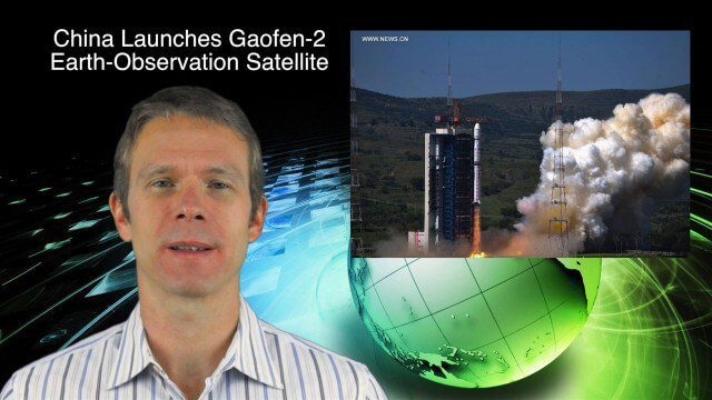
This Asia-Pacific-focused GeoSpatial Stream broadcast discusses infrastructure topics such as new financing in India, water monitoring in China, and a Chinese offer to help upgrade U.S. transportation systems; an urban-renewal project in Melbourne; China's successful launch of the Gaofen-2 Earth-observation satellite; industry news from Alibaba, Google, Maestro Wireless Solutions and CSR; drones helping China recover from an earthquake; Japanese microsatellites; and more.
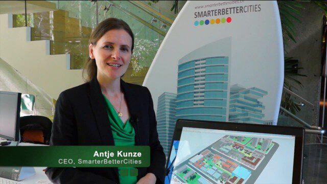
SmarterBetterCities Returns to Geodesign Summit
3.18K Views0 Comments0 Likes
SmarterBetterCities uses innovative Web-based tools, such as Cloud Cities and 3D Cities Libraries, that allow users to create 3D content and scenarios for urban planning. On behalf of V1 Media, Informed Infrastructure and GeoSpatial Stream, Todd Danielson interviewed Antje Kunze, CEO of SmarterBetterCities, at the Geodesign Summit 2015 in Redlands, Calif.
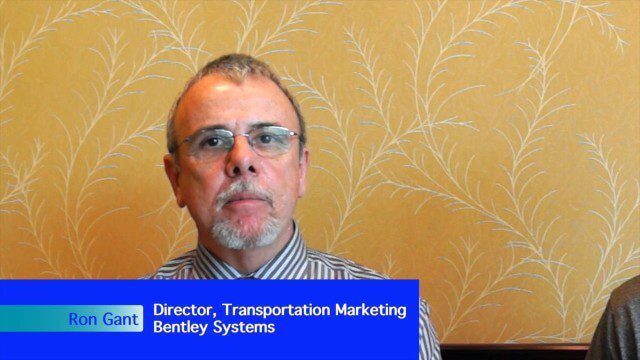
Bentley’s Ron Gant Discusses Roads and Recent Acquisitions
2.22K Views0 Comments0 Likes
Ron Gant is the Director of Transportation Marketing at Bentley Systems, and he spoke with V1 Media's Todd Danielson at SPAR International, which was held March 30-April 2, 2015, in Houston, Texas. They discussed the transportation industry and Bentley's role there, asset management, Bentley's acquisition of Acute3D, the value of hosting an event in Houston, and more.
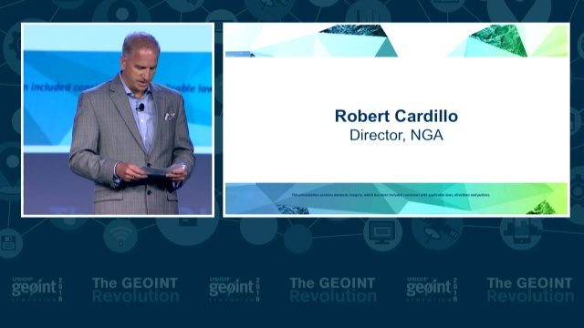
GEOINT Keynote: Robert Cardillo, Director, NGA
3.90K Views0 Comments0 Likes
The U.S. Geospatial Intelligence Foundation (USGIF) recorded the keynote speech of Robert Cardillo, Director of the National Geospatial-Intelligence Agency (NGA), at the 2016 GEOINT Symposium on May 16, 2016, in Orlando, Fla.


