
tdanielson / Added Videos
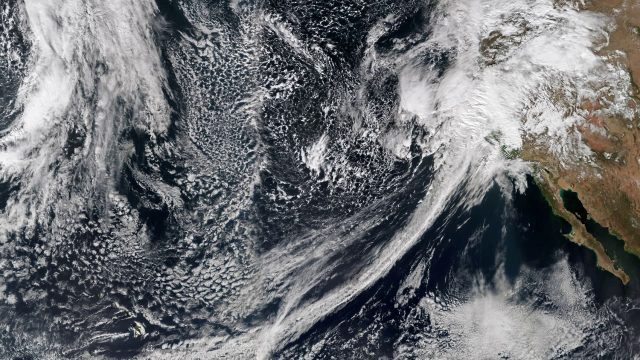
Recent Rains Drench California
5.17K Views0 Comments0 Likes
Recent rainfalls have drenched the state of California. Imagery from NASA satellites show the result of several atmospheric rivers, known as the Pineapple Express, which carry moisture from as far away as the Hawaiian Islands.
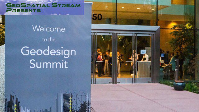
Why You Should Attend Geodesign Summit 2016
5.16K Views0 Comments0 Likes
This faced-paced music video from GeoSpatial Stream highlights some of the best moments of the 2015 event, illustrating why you should register for and attend the next event, being held Jan. 27-28, 2016, in Redlands, Calif. For more information and to register, visit www.geodesignsummit.com.
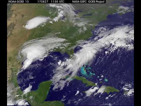
Satellite Animation Shows Harvey Moving into Gulf
5.15K Views0 Comments0 Likes
This animation of NOAA's GOES East satellite imagery from 9:15 a.m. CDT, Aug. 26, 2017, to 9:30 a.m. CDT, Aug. 28, 2017, shows Hurricane Harvey transitioning to a tropical storm at 1 p.m. CDT on Aug. 26, 2017, and slowly emerging in the Gulf of Mexico on Aug. 28.
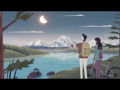
Get Ready for the 2017 Solar Eclipse
5.12K Views0 Comments0 Likes
On Monday, August 21, 2017, our nation will be treated to a total eclipse of the sun.

Kleinfelder Interview – Bill Siegel, CEO
5.11K Views0 Comments0 Likes
Informed Infrastructure spoke with Bill Siegel, CEO of Kleinfelder, at the opening of the company’s new office in downtown Denver. The conversation touched on the company’s growth through the recession, the trend toward mega-mergers in the AEC industry, and the need to address aging infrastructure.
8_21 Climate Change Broadcast (New NASA Instruments, Ice Sheets and More)
5.07K Views0 Comments0 Likes
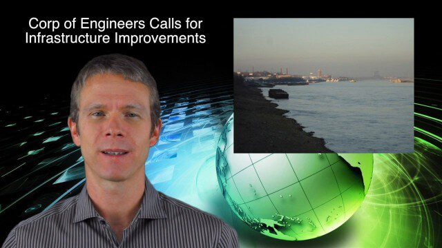
This GeoSpatial Stream broadcast discusses the latest news on climate change, including new NASA monitoring instruments for the International Space Station and ESA's CryoSat mission to measure ice-sheet loss; a U.S. Army Corps of Engineers call for infrastructure improvements in the Mississippi River Watershed; Maps.com and its new Field Trip Library educational series; industry news from American Sentinel University, Nokia HERE and Apple; a LiDAR video from the National Ecological Observatory Network on monitoring trees; and more.
10_2 Climate Change Broadcast (UN Climate Summit, Tsunami Evacuation Maps and More)
5.06K Views0 Comments0 Likes
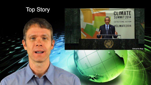
This GeoSpatial Stream broadcast discusses news and video from the UN Climate Summit, including President Obama announcing new geospatial tools and pledges to restore forest land; USGS developing a pedestrian tsunami-evacuation tool; industry news from exactEarth, Bentley Systems and Innovyze; a clip from the keynote address at the recent GeCo in the Rockies conference; and more.
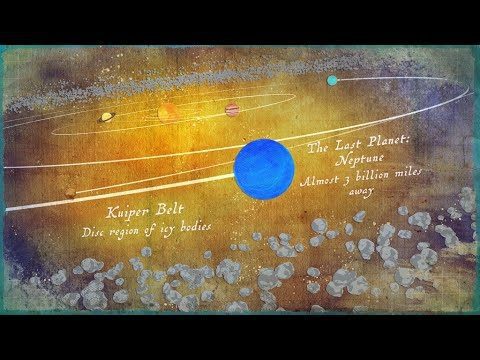
Where Is the Edge of the Solar System?
5.05K Views0 Comments0 Likes
Where does the solar system end? It all depends on the criteria you are using.
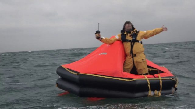
Satellite-Based Search and Rescue
5.04K Views0 Comments0 Likes
With the launch of Initial Services, Galileo will help search and rescue operators respond to distress signals faster and more effectively while also lowering their own exposure to risk.

Prescribed Forest Fire Frequency Should Be Based on Land Management Goals
5.00K Views0 Comments0 Likes
Researchers at the University of Missouri have studied forests subjected to different frequencies of fires to determine what effects fire can have on oak forests over long periods of time.


