
Monthly Archives: February 2016
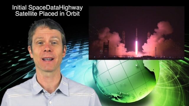
2_3 Earth Imaging Broadcast (El Niño, Satellite Launches and More)
0 Views0 Comments0 Likes
This Earth Imaging-themed GeoSpatial Stream broadcast discusses a crowdsourced effort to monitor coastal erosion in California caused by El Niño; recent satellite launches of Jason-3 for ocean measurements and the first satellite of the SpaceDataHighway; industry news from Aerial MOB, Quantum Spatial, URISA, TerraGo, Eos Positioning, Delair-Tech and SimActive; a video from Peru of vultures being used to monitor garbage; and more.
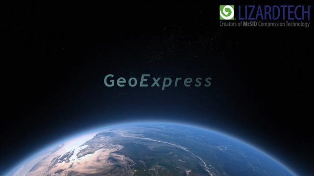
How to Save Time and Money When Processing Geospatial Imagery
0 Views0 Comments0 Likes
Are you overwhelmed by GIS data, and wish you had more time and processing power? Then check out this video from LizardTech that shows the benefits of GeoExpress, which helps geospatial professionals save time and money by compressing and manipulating satellite and aerial imagery.
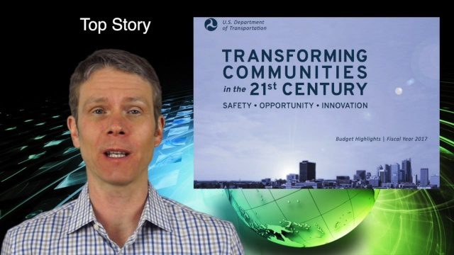
2_11 Infrastructure Broadcast (DOT Budget, Rebuilding Schools and More)
0 Views0 Comments0 Likes
This Infrastructure-themed GeoSpatial Stream broadcast discusses the FY2017 U.S. Department of Transportation budget; Los Angeles' new GeoHub; Miyamoto Relief engineering work at schools in Nepal; industry news from Autodesk, Abvent, TerraGo, Cadcorp and Topcon; two new infrastructure posting from V1 Media; and more.
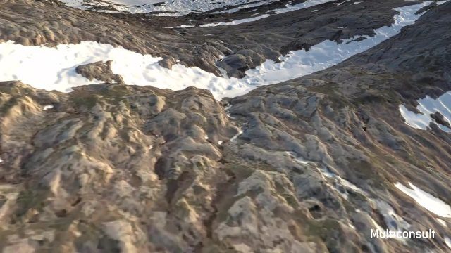
Use of InfraWorks and the Infrastructure Design Suite for a Hydropower Project in Norway
0 Views0 Comments0 Likes
Designing successful infrastructure projects is one thing. Communicating and demonstrating those designs to clients and other stakeholders before construction is another. Bringing a design to life for people without a civil engineering background is always a challenge, whether your goal is to sell the design or communicate its impact. - See more at: https://informedinfrastructure.com/20253/creating-real-time-navigable-3d-infrastructure-models/
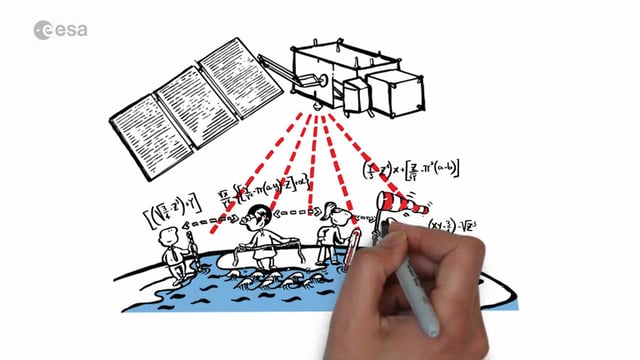
Sentinel-3 for Oceans
0 Views0 Comments0 Likes
In honor of the launch of Sentinel-3A on Feb. 16, 2016, here's a video about the satellite: Covering 70% of the planet, the oceans are directly linked to our weather and climate. They are also essential for global transport and provide a wealth of resources. What happens far out to sea has a direct effect on societies all over the world. Sentinel-3 provides crucial observations of our oceans, helping us to understand the overall health of our planet.

Why Attend Bentley Systems YII 2016
0 Views0 Comments0 Likes
This video from Bentley Systems shows highlights of the 2015 event and what attendees can expect if they convene in London in 2016.

Understanding GIS – An Overview
0 Views0 Comments0 Likes
Geographic Information Systems are used by professionals and academics all over the world to investigate problems ranging from the spread of disease to the damage caused by hurricanes. Learn more about the University of Michigan-Flint's GIS Certificate by visiting umflint.edu/gis/gis-center

2_25 Earth Imaging Broadcast (Sentinel Launch, Smallsats and More)
0 Views0 Comments0 Likes
This Earth Imaging-themed GeoSpatial Stream broadcast discusses the recently launched Sentinel-3A Earth-monitoring satellite; a smallsat/cubesat video created by the European Space Agency; NASA UAS/drone news; industry news from Esri, SimActive, Teledyne Optech and Riegl; a funny mapping video from the University of Kentucky's New Maps Plus online education program; and more.


