
Monthly Archives: April 2015
4_9 Earth Imaging Broadcast (3-D Data Capture, Drones and More)
3.77K Views0 Comments0 Likes
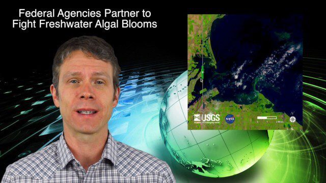
This GeoSpatial Stream broadcast discusses highlights from the recent SPAR International 3D measurement and imaging conference in Houston; federal agency partnerships to monitor and prevent dangerous algal blooms; a technology partnership to improve the efficiency of snow-grooming machines; industry news from Esri and rapidlasso; an impressive drone video; and more.

4_16 Drones/UAS Broadcast (Earth Day, Mysterious Methane and More)
3.97K Views0 Comments0 Likes
This GeoSpatial Stream broadcast discusses important FAA practices impacting drone/UAS use; an article that digs deeper into the many possible consequences of FAA's actions; a mysterious methane hotspot in the U.S. Four Corners area; industry news from Hexagon, Airbus Defence and Space, and SimActive; Earth Day; and more.

Autodesk’s Aaron Morris Discusses Reality Computing
4.50K Views0 Comments0 Likes
Aaron Morris is the ReCap Product Manager at Autodesk, and he spoke with V1 Media's Todd Danielson at SPAR International, which was held March 30-April 2, 2015, in Houston, Texas. They discussed spatial sensor data, reality computing, Autodesk product developments and enhancements, UAV applications and more.

Tom Fisher Witnesses Complete Evolution of Geodesign Summit
5.74K Views0 Comments0 Likes
Tom Fisher, Dean of the College of Design at the University of Minnesota, emceed and moderated the 2015 Geodesign Summit, and he as attended every summit since its inception. On behalf of V1 Media, Informed Infrastructure and GeoSpatial Stream, Todd Danielson interviewed Fisher at the Geodesign Summit 2015 in Redlands, Calif.

4_30 Earthquake Broadcast (Nepal Mapping, Drone Video and More)
9.52K Views0 Comments0 Likes
This GeoSpatial Stream broadcast focuses entirely on the Nepal earthquake of April 25, 2015, that killed more than 5,000 people. News and video cover the scope of the destruction; how governments and relief organizations are helping through mapping; industry aid from Esri, DigitalGlobe and Airbus Defence & Space; an article on how Nepal was mapped in 48 hours; a video of the Mt. Everest avalanche; and more.


