
Monthly Archives: March 2015

Ordnance Survey: Finding a Way
0 Views0 Comments0 Likes
Ordnance Survey is very proud to be introducing a refreshed visual identity. Take a look at how much we've changed in our 224 years.

Orion: Trial By Fire
0 Views0 Comments0 Likes
NASA’s newest spacecraft, Orion, will be launching into space for the first time in December 2014, on a flight that will take it farther than any spacecraft built to carry humans has gone in more than 40 years and through temperatures twice as hot as molten lava to put its critical systems to the test.

Smart Mapping from Esri
0 Views0 Comments0 Likes
Smart Mapping is an exciting new capability in ArcGIS Online that will change how you make maps.
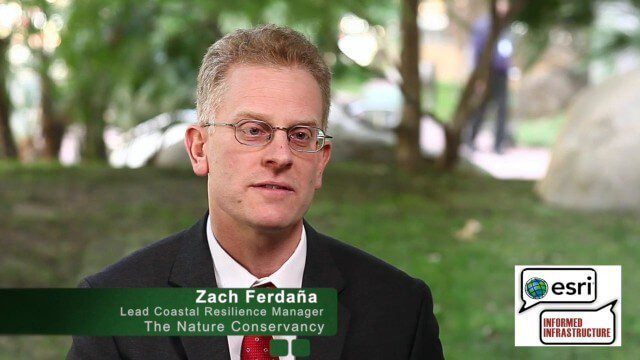
The Nature Conservancy’s Zach Ferdaña and Coastal Resilience at the Geodesign Summit
0 Views0 Comments0 Likes
Zach Ferdaña is Lead Coastal Resilience Manager at The Nature Conservancy. The Coastal Resilience program is an array of projects using online decision support tools to promote the role of coastal habitats in hazard mitigation, restoration and resilience planning. On behalf of V1 Media, Informed Infrastructure and GeoSpatial Stream, Todd Danielson interviewed Ferdaña at the Geodesign Summit 2015 in Redlands, Calif.
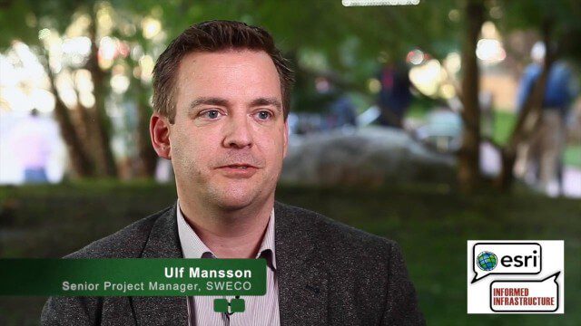
Ulf Mansson Moving Geodata to Minecraft
0 Views0 Comments0 Likes
Ulf Mansson, senior project manager for SWECO, has more than 20 years of experience in the geospatial industry. In 2013, he invented a method to stream geodata into the game Minecraft. On behalf of V1 Media, Informed Infrastructure and GeoSpatial Stream, Todd Danielson interviewed Mansson at the Geodesign Summit 2015 in Redlands, Calif.
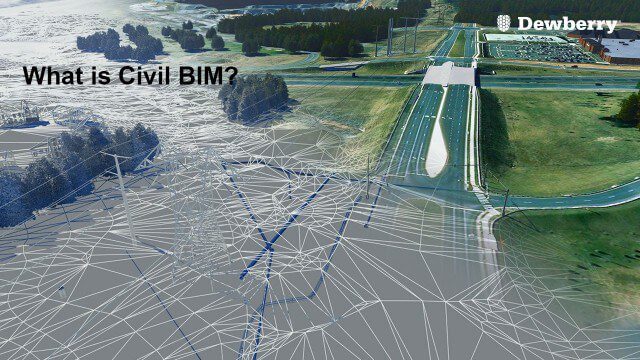
What is Civil BIM?
0 Views0 Comments0 Likes
Dewberry Civil Engineers Cody Pennetti and Meagan Judge, along with Senior Applications Specialist Cyndy Davenport, explain how site/civil engineers are using civil BIM to showcase complex information in a familiar way.


