Monthly Archives: March 2015
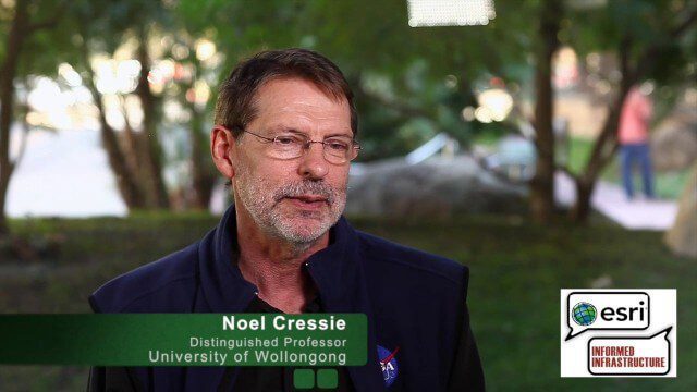
Noel Cressie Talks Spatial Statistics at the Geodesign Summit
0 Views0 Comments0 Likes
Noel Cressie is a Distinguished Professor, National Institute for Applied Statistics Research Australia (NIASRA), University of Wollongong, Australia. He delivered the keynote speech at the Geodesign Summit 2015 in Redlands, Calif., discussing spatial statistics and their role in modern analysis and design. On behalf of V1 Media, Informed Infrastructure and GeoSpatial Stream, Todd Danielson interviewed Cressie at the Summit.
“Mapping the Universe” with Daniel Eisenstein
0 Views0 Comments0 Likes
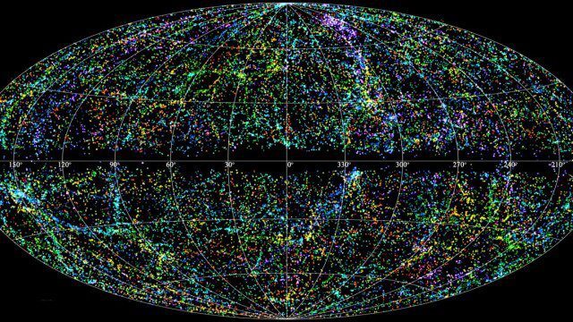
Galaxies are not scattered randomly throughout the universe. Instead, they group into stringy filaments that span hundreds of millions of light-years. How did such structure evolve from the bland primordial soup that followed the Big Bang? New clues are coming from an ambitious mapping project, the Sloan Digital Sky Survey, which has measured the distance to galaxies halfway across the observable universe. Daniel Eisenstein is director of the Sloan Digital Sky Survey III (SDSS-III) and a member of the National Academy of Sciences.
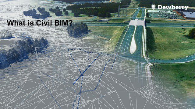
What is Civil BIM?
0 Views0 Comments0 Likes
Dewberry Civil Engineers Cody Pennetti and Meagan Judge, along with Senior Applications Specialist Cyndy Davenport, explain how site/civil engineers are using civil BIM to showcase complex information in a familiar way.
Drones for Aerial Survey and 3D Modelling Updated
0 Views0 Comments0 Likes
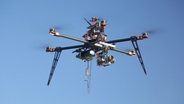
This video replaces an earlier upload demonstrating the extraction of 3D detail for buildings and/ or terrain from high resolution drone aerial photographs using photogrammetry and geo-referencing. This version includes high definition footage from a simulated autonomous circular aerial survey of an industrial asset, incorporating VidiAir's precision ground survey control points (significantly more accurate than Google Earth), EMF/ RF protection and laser range-finding with telemetry - an important consideration when flying in close proximity to structures/ obstacles, particularly in gusting winds.
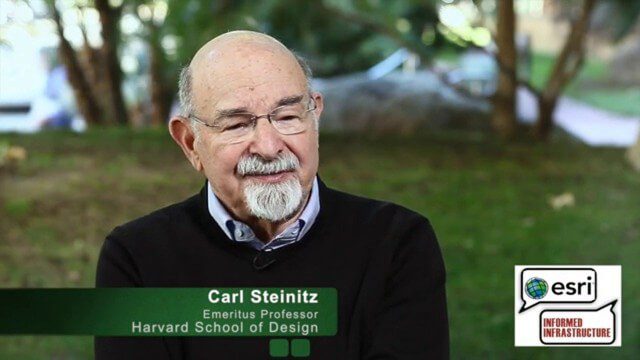
Carl Steinitz Discusses Increased Dangers and Urgency at the Geodesign Summit
0 Views0 Comments0 Likes
Carl Steinitz is an Emeritus Professor at the Harvard University Graduate School of Design and one of the true pioneers and visionaries of geodesign, with 50 years of experience. On behalf of V1 Media, Informed Infrastructure and GeoSpatial Stream, Todd Danielson interviewed Steinitz at the Geodesign Summit 2015 in Redlands, Calif.
Smart Mapping from Esri
0 Views0 Comments0 Likes
Smart Mapping is an exciting new capability in ArcGIS Online that will change how you make maps.

