
Monthly Archives: February 2015
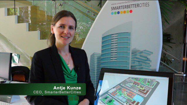
SmarterBetterCities Returns to Geodesign Summit
3.18K Views0 Comments0 Likes
SmarterBetterCities uses innovative Web-based tools, such as Cloud Cities and 3D Cities Libraries, that allow users to create 3D content and scenarios for urban planning. On behalf of V1 Media, Informed Infrastructure and GeoSpatial Stream, Todd Danielson interviewed Antje Kunze, CEO of SmarterBetterCities, at the Geodesign Summit 2015 in Redlands, Calif.
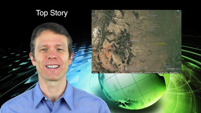
2_12 Maps and Drones Broadcast (Google Maps, Drones for Good and More)
3.88K Views0 Comments0 Likes
This GeoSpatial Stream broadcast discusses the 10-year anniversary of Google Maps; the Drones for Good contest and drone privacy issues; industry news from Esri, Cadcorp and LizardTech; an unintentionally funny video from Ordnance Survey in 1965; and more.
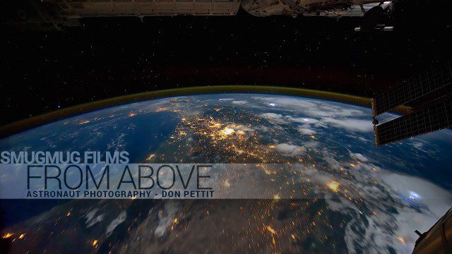
From Above – Astronaut Photography with Don Pettit
1.83K Views0 Comments0 Likes
You've never seen space like this. This short film gives an inside look at how NASA Astronaut Don Pettit captures breathtaking images of Earth's most famous phenomena - aurora, star trails, city lights, and more - from the inside the International Space Station.
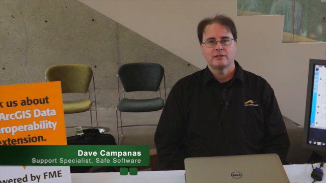
Safe Software Bringing Data Translation to Geodesign
3.31K Views0 Comments0 Likes
Safe Software is the maker of FME and a global leader in spatial data transformation technology. On behalf of V1 Media, Informed Infrastructure and GeoSpatial Stream, Todd Danielson interviewed Dave Campanas, software support specialist at Safe Software, at the Geodesign Summit 2015 in Redlands, Calif.
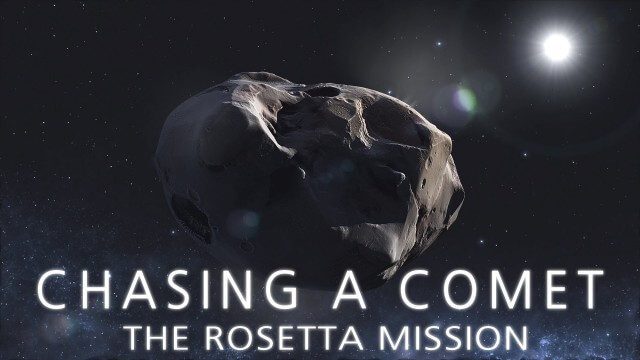
CHASING A COMET – The Rosetta Mission
1.70K Views0 Comments0 Likes
Among the most fascinating projects in the exploration of the Universe is the European Space Agency's Rosetta mission, launched in 2004 to investigate the comet 67P/Churyumov--Gerasimenko. For the first time, a spacec...
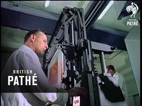
Map Survey (1965)
2.56K Views0 Comments0 Likes
"Britain is the world's greatest map making country" announces the narrator. Various shots of maps being crafted. Large optical devices are used - a camera "as big as a fair sized room" is used to take photographs of the maps. We are at the Ordnance Survey Commission headquarters. Various shots of technicians looking at the large photographs.


