
Monthly Archives: October 2014
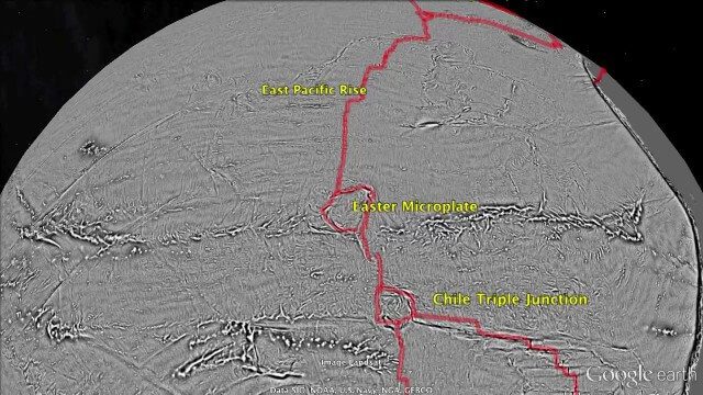
Draining the Ocean Basins with CryoSat-2
2.28K Views0 Comments0 Likes
This is the supplementary video for the scientific article "New global marine gravity model from CryoSat-2 and Jason-1 reveals buried tectonic structure". The full paper is available at: sciencemag.org/content/346/6205/65
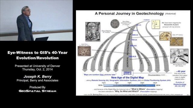
Joe Berry’s “Eye-Witness to GIS’s 40-Year Evolution/Revolution” Presentation
3.25K Views0 Comments0 Likes
In the 40 years since the development of the digital map, what a map is (and isn’t) has greatly evolved. This presentation describes Joe Berry’s personal journey in geotechnology as a student, professor, consultant, software developer and entrepreneur. The insight is as relevant for the next generation of GIS’ers as it is to GIS cohorts who moved beyond mapping to “thinking with maps” and the boundless opportunities for integrating the new spatial paradigm into science, workplaces and daily lives.
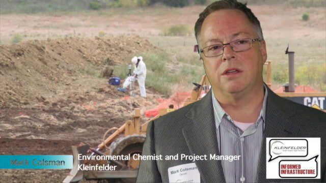
Kleinfelder Interview – Mark Colsman, Environmental Chemist and Project Manager
3.49K Views0 Comments0 Likes
Informed Infrastructure spoke with Mark Colsman, environmental chemist and project manager, at the opening of Kleinfelder’s new office in downtown Denver. The conversation about the environmental-remediation work that Kleinfelder is involved in covered their development of Conceptual Site Models with considerable data collection for decision making about the issues on the site. Increasingly, they are using real-time data sensors and data feeds to better understand underground processes.
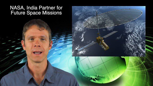
10_16 Asia-Pacific Broadcast (Tsunami Preparedness, NASA/India Partnerships and More)
4.77K Views0 Comments0 Likes
This Asia-Pacific-focused GeoSpatial Stream broadcast discusses several reports indicating that tsunami preparedness is improving in the region; a space-mission partnership between NASA and India's ISRO; the first images from China's Gaofen-2; a video from the University of South Australia's Global Sensor Network; industry news from MDA Information Systems, Esri, Xiaomi, Careland, Innovyze and Nobel Systems; and more.

The Global Sensor Network – University of South Australia
2.47K Views0 Comments0 Likes
Australia has a combined land and sea territory of more than 8 million square kilometers. Yet most of this is currently out of the reach of affordable communication. Now the University of South Australia's Institute for Telecommunications Research has turned this on its head, with the development of the Global Sensor Network. The Global Sensor Network is an innovative signal processing system which provides low cost, two-way, simultaeneous satellite communications to multiple users.

Fully Integrated RiCOPTER UAV in Flight
3.19K Views0 Comments0 Likes
RiCOPTER is a high-performance UAV which can be equipped with the RIEGL VUX-1 survey-grade LiDAR sensor to offer a fully integrated turnkey solution and marks the first complete UAS LiDAR solution from one manufacturer.
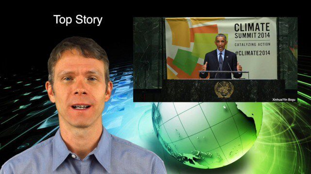
10_2 Climate Change Broadcast (UN Climate Summit, Tsunami Evacuation Maps and More)
5.06K Views0 Comments0 Likes
This GeoSpatial Stream broadcast discusses news and video from the UN Climate Summit, including President Obama announcing new geospatial tools and pledges to restore forest land; USGS developing a pedestrian tsunami-evacuation tool; industry news from exactEarth, Bentley Systems and Innovyze; a clip from the keynote address at the recent GeCo in the Rockies conference; and more.
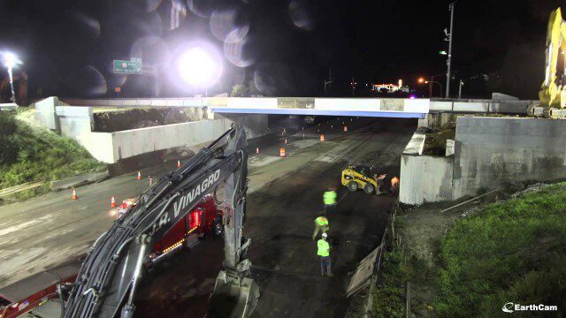
Barton Corner Bridge Project
2.15K Views0 Comments0 Likes
In August 2014 we completed replacement of the Barton Corner Bridge, which carries four lanes of I-95 plus two auxiliary lanes at a busy interchange with Route 2 on the Warwick/West Warwick line. Using accelerated bridge construction, we built two halves of the bridge on land adjacent to the overpass, and then moved them into place. This enabled us to build the bridge much faster compared with conventional construction methods, which would have taken twice the time. This approach also allowed us to do the work with no impact to Interstate traffic prior to installation.

Kleinfelder Interview – Dick Wells, Transportation Market Manager
4.49K Views0 Comments0 Likes
Informed Infrastructure spoke with Dick Wells, transportation market manager and chair of the American Council of Engineering Companies at the opening of Kleinfelder’s new office in downtown Denver. The conversation touched on some of the major projects the company has underway, the rise of public-private partnerships, mission of the American Council of Engineering Companies with a view on the health of the infrastructure business, and working on leadership development.
Make It Wearable Finalists: Meet Team Nixie
2.32K Views0 Comments0 Likes
Team Nixie (http://flynixie.com) is developing the first wearable drone camera, which can be worn around your wrist. The team will be presenting their prototype for the Intel Make It Wearable Challenge Finale on November 3, 2014 in San Francisco. Learn more about Make It Wearable and follow the race to the finish line at http://makeit.intel.com. To find out more about Team Nixie, see their work at http://flynixie.com or follow them on https://www.facebook.com/flynixie.


