Monthly Archives: May 2014
Google Glass Explorer Story: WWF’s Sabita Malla
0 Views0 Comments0 Likes
WWF's Sabita Malla is exploring how Glass can help protect rhinos.
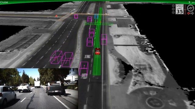
Google Self-Driving Car on City Streets
0 Views0 Comments0 Likes
The Google self-driving car navigates some common scenarios on city streets near the Googleplex.
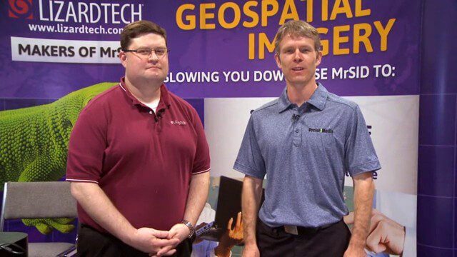
Jon Skiffington Interview (LizardTech)
0 Views0 Comments0 Likes
Todd Danielson interviews Jon Skiffington, Director, Product Management, LizardTech, at the GEOINT Symposium in Tampa, Florida. They discuss LizardTech's MrSID product and how it compresses imagery and other large datasets, GEOINT imagery users, GeoExpress and Express Server 9, and the company Web site.
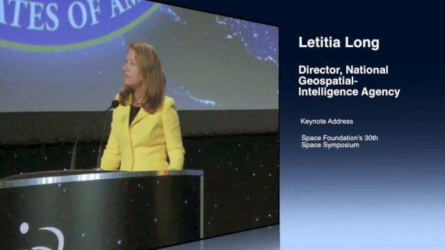
Letitia Long (Director, NGA) Keynote at 30th Space Symposium
0 Views0 Comments0 Likes
Letitia A. Long, Director of the National Geospatial-Intelligence Agency (NGA), delivered an important and powerful keynote address at the 30th Space Symposium in Colorado Springs, Colo., on May 20, 2014. Topics include the future of space programs and the space industry, their roles in intelligence, the changing nature of worldwide threats, and how space-based platforms can help predict new challenges.
LizardTech’s Express Server 9
0 Views0 Comments0 Likes
Jon Skiffington, director of Product Management for LizardTech, describes and demonstrates the latest features and additions to the company's Express Server 9 product, "the fastest, most stable, and easiest way to distribute compressed, high-resolution raster imagery via standard protocols."
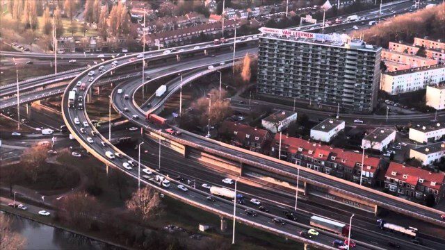
PortMaps – Kaarten en Havenbedrijf Rotterdam
0 Views0 Comments0 Likes
Simon Kresser and Markus Mettenleiter (Z+F) Interview
0 Views0 Comments0 Likes
Matt Ball interviews Zoller and Fröhlich's Simon Kresser, Marketing, and Markus Mettenleiter, Team Leader, Laserscanner Development, at SPAR International in Colorado Springs, Colo. They discuss Z+F's new laserscanner features and accessories, company goals, a product tour, thermal cameras and uses, and more.
The London Evolution Animation
0 Views0 Comments0 Likes
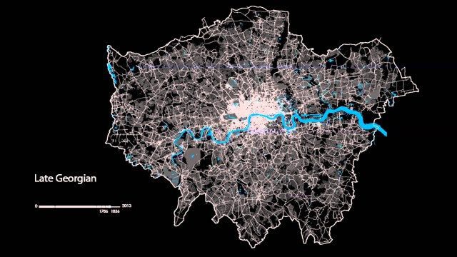
The London Evolution Animation (LEA) shows the historical development of London from Roman times to today, using georeferenced road network data brought together for the first time. The animation also visualizes (as enlarging yellow points) the position and number of statutorily protected buildings and structures built during each period.

