
Monthly Archives: May 2014
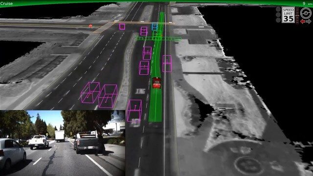
Google Self-Driving Car on City Streets
0 Views0 Comments0 Likes
The Google self-driving car navigates some common scenarios on city streets near the Googleplex.

5_15 Asia-Pacific Broadcast (Sri Lanka Transit GIS, China World Map and More)
0 Views0 Comments0 Likes
This Asia-Pacific-focused GeoSpatial Stream broadcast discusses a train accident in Sri Lanka and how a new GIS may prevent future collisions; India's groundwater mapping; China's World Map online; Australia's 2014 Esri Young Scholars Award winner; industry headlines from Trimble, Tencent and NavInfo, and NZ Aerial Mapping; the World Under Water Web site; and more.
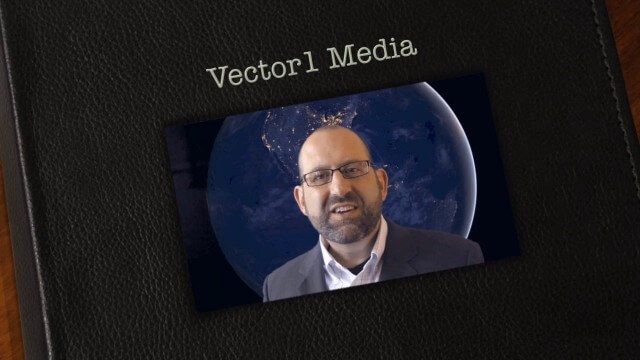
Vector1 Media Focuses on the Future with B2B Veterans and a Multimedia Roadmap
0 Views0 Comments0 Likes
Vector1 Media LLC welcomes new members Kevin Carmody and Patrick Krill, makes investments in our online platforms, including an AIA accredited continuing-education site that is coming soon, and extends the reach of multimedia throughout our different channels.

Tim Lemmon and Todd Steiner Interview (Trimble)
0 Views0 Comments0 Likes
Matt Ball interviews Trimble's Tim Lemmon, Marketing Director, Geospatial Software Solutions, and Todd Steiner, Marketing Director, Geospatial Imaging Solutions, at SPAR International in Colorado Springs, Colo. They discuss Trimble's integration between hardware and software so customers can make better business decisions, the changing role of the surveyor, and a variety of new hardware and software products.
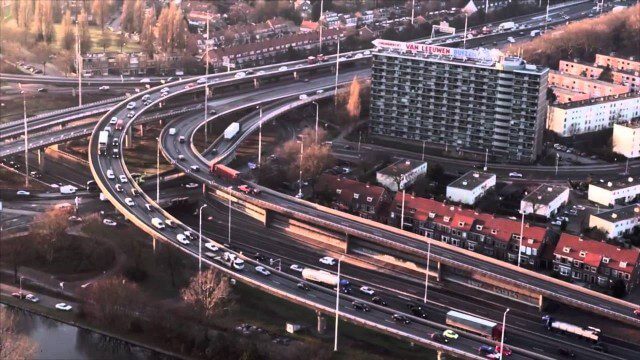
PortMaps – Kaarten en Havenbedrijf Rotterdam
0 Views0 Comments0 Likes
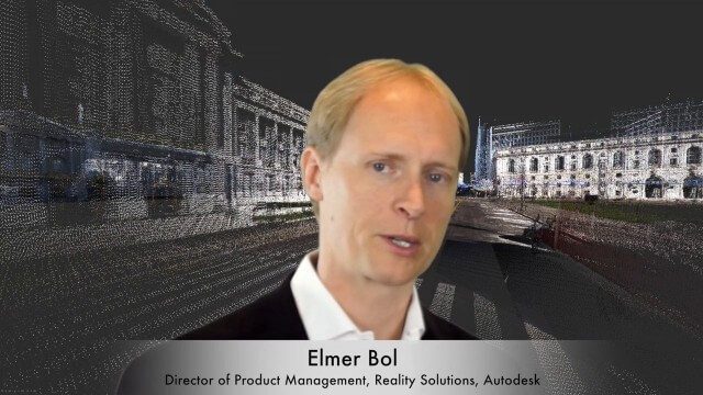
Elmer Bol Interview (Autodesk)
0 Views0 Comments0 Likes
Matt Ball interviews Elmer Bol, Director of Product Management, Autodesk, at SPAR International in Colorado Springs, Colo. They discuss Reality Capture solutions, evolution in the construction industry, laser scanning, Autodesk products, data capture and mining, change detection, and more.
B2B Veterans Join V1 Media to Push Multimedia Platforms
0 Views0 Comments0 Likes
An unprecedented convergence of technology offers new engagement opportunities May 9, 2014, Denver, CO —Vector1 Media LLC welcomes new members Kevin Carmody and Patrick Krill, along with circulation expert Cindy Ca...
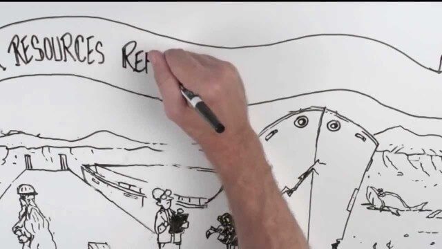
Whiteboard: How to Reform Water Infrastructure
0 Views0 Comments0 Likes
The Water Resources Reform and Development Act (WRRDA) of 2013 promotes our Nation's competitiveness, prosperity, and economic growth by upholding the seminal federal responsibility to maintain a strong transportation infrastructure and ensure the efficient flow of domestic and international commerce.

5_22 Remote-Sensing Broadcast (Space Symposium, WorldView-3 and More)
0 Views0 Comments0 Likes
This GeoSpatial Stream broadcast covers a variety of remote-sensing topics, such as the recent Space Symposium in Colorado; a preview of DigitalGlobe's WorldView-3 satellite; a special report on micro-satellites; industry news from Airbus Defence and Space, BAE Systems, Teledyne, and NASA; and more.

5_8 Infrastructure Broadcast (ETOD, Global Smart City Rankings and More)
0 Views0 Comments0 Likes
This infrastructure-focused GeoSpatial Stream broadcast discusses Equitable Transit-Oriented Development (ETOD); a Global Smart City Ranking; the King County Multi-Family Residential Parking Calculator; historic Denver Union Station's transit makeover; GEOSS; news from Bentley Systems, Esri, Leica Geosystems and Agency9; and more.


