Monthly Archives: April 2014
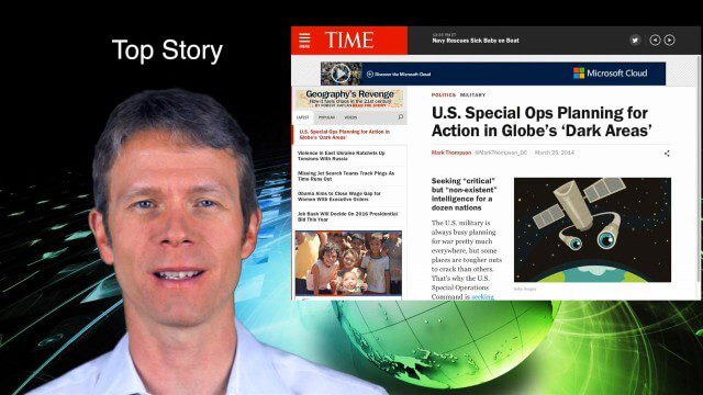
4_10 GEOINT Broadcast (Special Ops Data, New Weather Satellite, GPS III and More)
0 Views0 Comments0 Likes
This GeoSpatial Stream broadcast discusses geospatial intelligence, its legacy and the upcoming GEOINT Symposium; a recently launched U.S. military weather satellite; GPS III developments; industry news from Headwall, Thermopylae Sciences and Technology, Trimble, Esri, DigitalGlobe, and Riegl; and more.
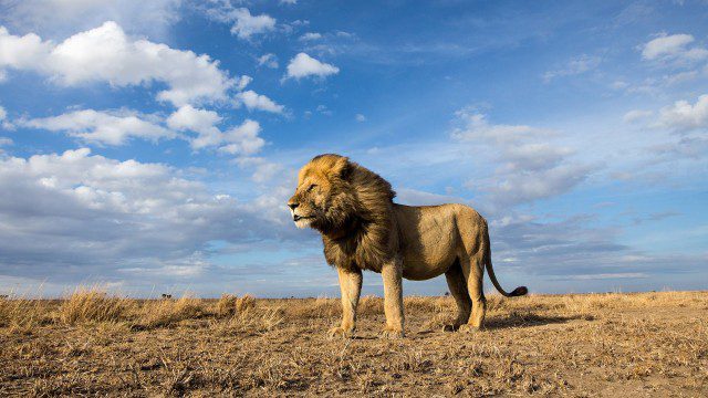
BeetleCam Project
0 Views0 Comments0 Likes
New video footage from BeetleCam in the Serengeti, plus announcing the new BeetleCam Hybrid!
4_8 Precision-Agriculture Broadcast (Food and Fluorescence, Sentinel Launch, and More)
0 Views0 Comments0 Likes
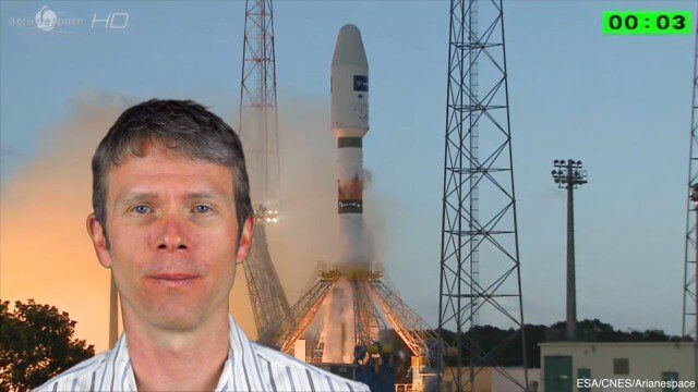
This GeoSpatial Stream broadcast discusses how food production can be tracked via satellites; the launch of Sentinel-1A; maps of extractive industries and agriculture in Peru and Ghana; a satellite competition; industry news from URISA, Ordnance Survey, Open Geospatial Consortium and Leica Geosystems; and more.
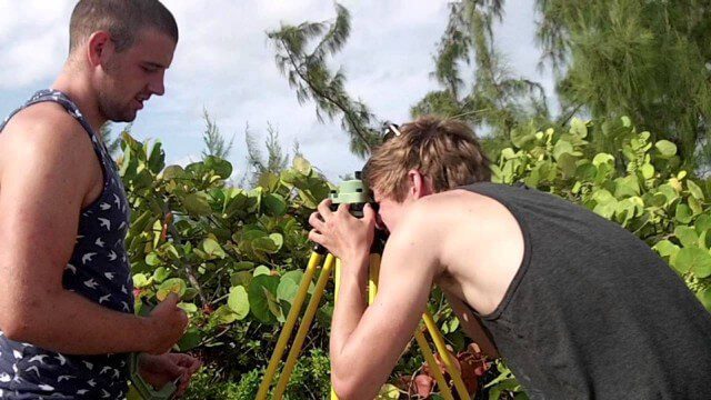
Surveying, Mapping and GIS Expedition to British Virgin Islands
0 Views0 Comments0 Likes
Surveying, Mapping and GIS Expedition to British Virgin Islands
NASA | Landsat Tracks Urban Change and Flood Risk
0 Views0 Comments0 Likes
NASA | Landsat Tracks Urban Change and Flood Risk
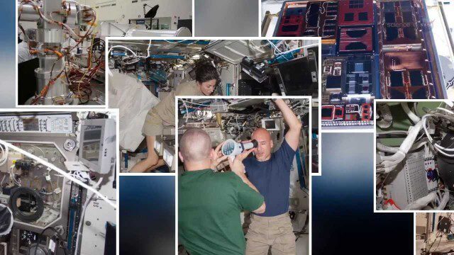
International Space Station Gets a Ten-Year Extension
0 Views0 Comments0 Likes
senseFly Mini Drones
0 Views0 Comments0 Likes
Imagine being able to see the world from a totally new point of view.

