
Monthly Archives: April 2014

NASA/JAXA GMI Sensor for Precipitation Measurement
0 Views0 Comments0 Likes
On March 10, the Core Observatory passed over an extra-tropical cyclone On March 10, the Core Observatory passed over an extra-tropical cyclone about 1055 miles (1700 kilometers) due east of Japan's Honshu Island. Satellite data shows the full range of precipitation in the storm.

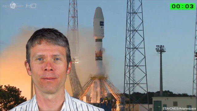
4_10 GEOINT Broadcast (Special Ops Data, New Weather Satellite, GPS III and More)
0 Views0 Comments0 Likes
This GeoSpatial Stream broadcast discusses geospatial intelligence, its legacy and the upcoming GEOINT Symposium; a recently launched U.S. military weather satellite; GPS III developments; industry news from Headwall, Thermopylae Sciences and Technology, Trimble, Esri, DigitalGlobe, and Riegl; and more.
BeetleCam Project
0 Views0 Comments0 Likes
New video footage from BeetleCam in the Serengeti, plus announcing the new BeetleCam Hybrid!
4_8 Precision-Agriculture Broadcast (Food and Fluorescence, Sentinel Launch, and More)
0 Views0 Comments0 Likes
This GeoSpatial Stream broadcast discusses how food production can be tracked via satellites; the launch of Sentinel-1A; maps of extractive industries and agriculture in Peru and Ghana; a satellite competition; industry news from URISA, Ordnance Survey, Open Geospatial Consortium and Leica Geosystems; and more.
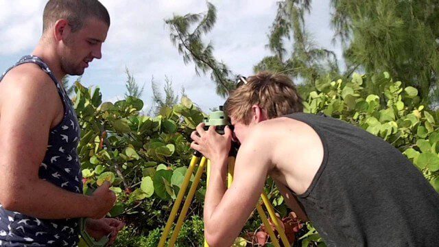
Surveying, Mapping and GIS Expedition to British Virgin Islands
0 Views0 Comments0 Likes
Surveying, Mapping and GIS Expedition to British Virgin Islands
NASA | Landsat Tracks Urban Change and Flood Risk
0 Views0 Comments0 Likes
NASA | Landsat Tracks Urban Change and Flood Risk

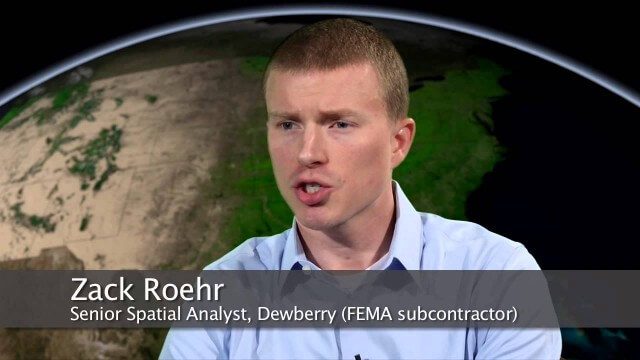
4_2 Infrastructure Broadcast (Landsat and Flood Risk, Cloud-Based Tools, and More)
0 Views0 Comments0 Likes
This infrastructure-focused GeoSpatial Stream broadcast discusses how Landsat is helping with flood risk to infrastructure; North Carolina using cloud-based property data; a Regional Road Construction Map in Spokane; industry news from Columbia Pipeline Group, Synergis, Cityworks and Bentley Systems; surveying in the British Virgin Islands; the Technology of Walking; and more.
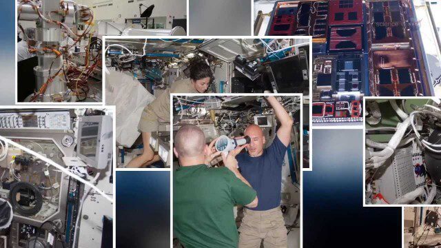
International Space Station Gets a Ten-Year Extension
0 Views0 Comments0 Likes


