
Monthly Archives: April 2014

APS Introduction for Trimble
0 Views0 Comments0 Likes
We created the introductory segment for Trimble's Public Safety division commercial.

4_2 Infrastructure Broadcast (Landsat and Flood Risk, Cloud-Based Tools, and More)
0 Views0 Comments0 Likes
This infrastructure-focused GeoSpatial Stream broadcast discusses how Landsat is helping with flood risk to infrastructure; North Carolina using cloud-based property data; a Regional Road Construction Map in Spokane; industry news from Columbia Pipeline Group, Synergis, Cityworks and Bentley Systems; surveying in the British Virgin Islands; the Technology of Walking; and more.
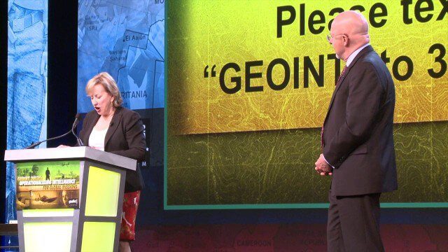
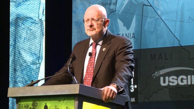
GEOINT Keynote: James Clapper, Director of National Intelligence (Part 3+ Q&A)
0 Views0 Comments0 Likes
Part 3 of the GEOINT Symposium keynote address from James Clapper, Director of National Intelligence, with some of the Q&A session.

International Space Station Gets a Ten-Year Extension
0 Views0 Comments0 Likes
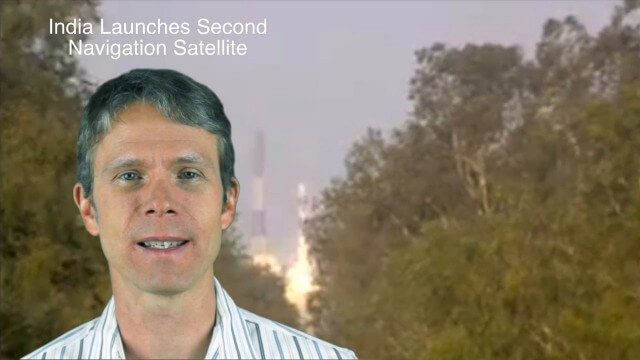
4_28 Asia-Pacific Broadcast (Great Barrier Reef, Asian Satellites, CityNext and More)
0 Views0 Comments0 Likes
This Asia-Pacific-focused GeoSpatial Stream broadcast discusses a new way to monitor the Great Barrier Reef from space, GLONASS updates, a new Indian navigation satellite, CityNext in Surat, the latest industry headlines, and more.

Exploring Space: Cosmic Revolutionaries
0 Views0 Comments0 Likes
GEOINT Keynote: James Clapper, Director of National Intelligence (Part 4/Q&A)
0 Views0 Comments0 Likes
Part 4 of the GEOINT Symposium keynote address from James Clapper, Director of National Intelligence, completing the Q&A session.
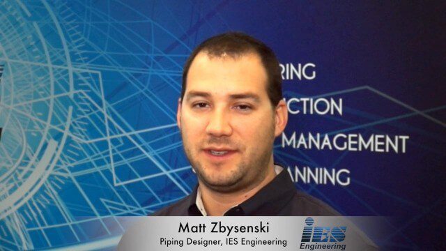
Matt Zbysenski Interview (IES Engineering)
0 Views0 Comments0 Likes
Matt Ball interviews Matt Zbysenski, Piping Designer, IES Engineering, at SPAR International in Colorado Springs, Colo. They discuss LiDAR in the construction workflow, safety mitigation, cost/time savings, pre-fabricated construction, and oil & gas uses.

BeetleCam Project
0 Views0 Comments0 Likes
New video footage from BeetleCam in the Serengeti, plus announcing the new BeetleCam Hybrid!
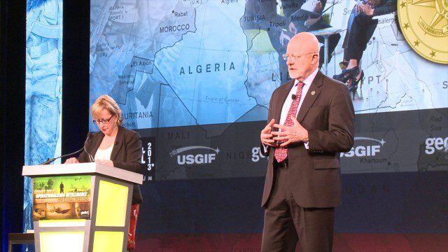
GEOINT Keynote: James Clapper, Director of National Intelligence (Part 1)
0 Views0 Comments0 Likes
Part 1 of the GEOINT Symposium keynote address from James Clapper, Director of National Intelligence.


