Tag: Trimble
1_23 Commercial Satellite Broadcast (Google Sightsmap, Road Safety Map, Rhino Poaching and More)
0 Views0 Comments0 Likes
This GeoSpatial Stream broadcast investigates the commercial satellite imagery market; Google's Sightsmap; the WHO Road Safety map; Rhino poaching; business dealings of GRAPHISOFT, Trimble, Sputnik Enterprises; and more.
12_12 Broadcast (Microsatellites, Climate Models, Dinosaurs, Odysseus and more)
0 Views0 Comments0 Likes
This episode of GeoSpatial Stream discusses SkyBox and microsatellites, climate models, dinosaur extinction, Odysseus and more.
2_12 Roger Tomlinson Broadcast (GeoDesign Summit, Tomlinson Tribute, Landsat 8 and More)
0 Views1 Comments0 Likes
This GeoSpatial Stream broadcast discusses Esri's GeoDesign Summit; the recent passing of Roger Tomlinson, "The Father of GIS"; Landsat 8's birthday; climate change and national security; woodland conservation; geospatial gaming technology; and more.
2_25 Earth Imaging Broadcast (Sentinel Launch, Smallsats and More)
0 Views0 Comments0 Likes
This Earth Imaging-themed GeoSpatial Stream broadcast discusses the recently launched Sentinel-3A Earth-monitoring satellite; a smallsat/cubesat video created by the European Space Agency; NASA UAS/drone news; industry news from Esri, SimActive, Teledyne Optech and Riegl; a funny mapping video from the University of Kentucky's New Maps Plus online education program; and more.
3_6 ILMF Broadcast (Conference Recap, USGS News, Aerial Imagery Market and More)
0 Views0 Comments0 Likes
This GeoSpatial Stream broadcast discusses the recent International LiDAR Mapping Forum, important USGS news, the future of the aerial imagery market, a map contest, and more.
4_10 GEOINT Broadcast (Special Ops Data, New Weather Satellite, GPS III and More)
0 Views0 Comments0 Likes
This GeoSpatial Stream broadcast discusses geospatial intelligence, its legacy and the upcoming GEOINT Symposium; a recently launched U.S. military weather satellite; GPS III developments; industry news from Headwall, Thermopylae Sciences and Technology, Trimble, Esri, DigitalGlobe, and Riegl; and more.
5_12 Infrastructure Broadcast (Earthquakes, Streetcars and More)
0 Views0 Comments0 Likes
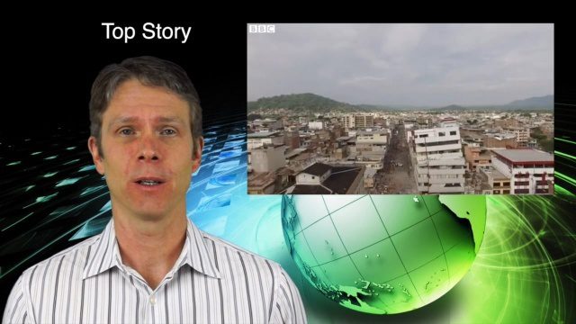
This Infrastructure-themed GeoSpatial Stream broadcast covers the devastating earthquake in Ecuador on April 16, 2016, and relief efforts from Miyamoto International to help rebuild the city's hard-hit infrastructure; a recently opened $100-million-dollar streetcar project in Kansas City; industry news from Trimble, Bentley Systems, Transoft Solutions and Autodesk; a video interview clip about Chicago's famed 150 N. Riverside Building; and more.
5_15 Asia-Pacific Broadcast (Sri Lanka Transit GIS, China World Map and More)
0 Views0 Comments0 Likes
This Asia-Pacific-focused GeoSpatial Stream broadcast discusses a train accident in Sri Lanka and how a new GIS may prevent future collisions; India's groundwater mapping; China's World Map online; Australia's 2014 Esri Young Scholars Award winner; industry headlines from Trimble, Tencent and NavInfo, and NZ Aerial Mapping; the World Under Water Web site; and more.
5_22 Remote-Sensing Broadcast (Space Symposium, WorldView-3 and More)
0 Views0 Comments0 Likes
This GeoSpatial Stream broadcast covers a variety of remote-sensing topics, such as the recent Space Symposium in Colorado; a preview of DigitalGlobe's WorldView-3 satellite; a special report on micro-satellites; industry news from Airbus Defence and Space, BAE Systems, Teledyne, and NASA; and more.
6_19 Asia-Pacific Broadcast (Toxic Sites, Bird Flu Maps and More)
0 Views0 Comments0 Likes
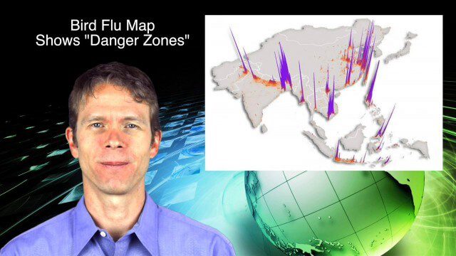
This Asia-Pacific-focused GeoSpatial Stream broadcast discusses an analysis from the Global Alliance on Health and Pollution; 3D images of the Fukushima Daiichi nuclear complex; an Indonesia forestry map; bird flu maps; China's Fengyun-3C satellite; India's Bhaskaracharya Institute for Space Applications and Geoinformatics; industry headlines from AAM and JTRS Registered Surveyor, Fugro, VisionMap and Acute3D, and Supergeo; the "Poisoned Poor"; and more.

