Tag: Todd Danielson
Jon Skiffington Interview (LizardTech)
0 Views0 Comments0 Likes
Todd Danielson interviews Jon Skiffington, Director, Product Management, LizardTech, at the GEOINT Symposium in Tampa, Florida. They discuss LizardTech's MrSID product and how it compresses imagery and other large datasets, GEOINT imagery users, GeoExpress and Express Server 9, and the company Web site.
Spike Kickstarter Video from ikeGPS
0 Views0 Comments0 Likes
Spike is the world’s first laser accurate Smartphone measurement solution enabling you to safely and accurately measure an object up to 600 feet (200 m) away. With a simple snap from your Smartphone, you can measure height, width, and area from a photo, and capture target location. Measurement and location are saved with the picture, and can be easily shared via email as a PDF or Spike File (XML).
GeoSpatial Stream 11_18 (protected areas, geolocated tweets, infrastructure investment and more)
0 Views0 Comments0 Likes
This Daily Digest was published on 11/18/2013. Topics covered include identifying protected habitat areas, satellite imagery legislation, geolocated Tweets to reveal travel patterns, Indonesian infrastructure investment, and more.
Thanksgiving Broadcast 11_25 (Science on a Sphere, JFK maps and video, nanosatellites and more)
0 Views0 Comments0 Likes
This Daily Digest from 11/25 covers topics such as Science on a Sphere, JFK memorial maps and video, U.S. Air Force launching 29 nanosatellites, Malaysian news and more.
Doug Smith Interview (Avenza Systems)
0 Views0 Comments0 Likes
Todd Danielson interviews Doug Smith, Director, Sales & Marketing, Avenza Systems, at the GEOINT Symposium in Tampa, Florida. They discuss Avenza's key products, including MAPublisher, Geographic Imager and its new PDF Maps app. All the products work with Adobe products for increased design functionality while maintaing location integrity.
6_2 GPS Broadcast (Topo Maps, Napoleon, HxGN LIVE, More)
0 Views0 Comments0 Likes
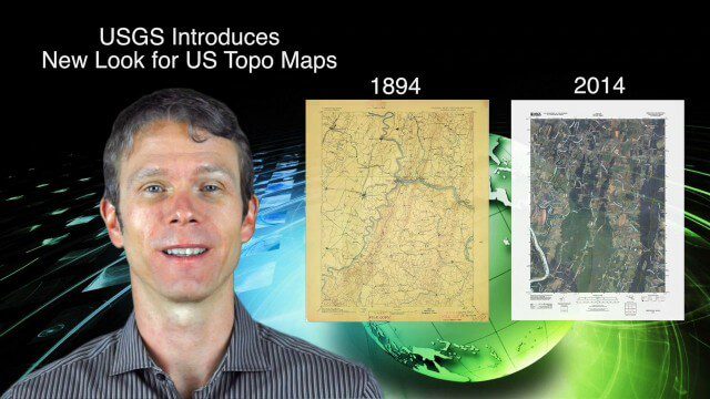
This GeoSpatial Stream broadcast includes a tribute to the "founder of GPS," Roger Easton, and discusses new USGS Topo maps; cloud computing frameworks; a book featuring the famous Minard Map of Napoleon's Russian Campaign of 1812; BlackBridge financing; World Cup Stadium images from Airbus; and an upcoming trip to HxGN LIVE in Las Vegas, Nevada.
Esri’s Director of Solutions Discusses Apps, Simplicity and Passion
0 Views0 Comments0 Likes
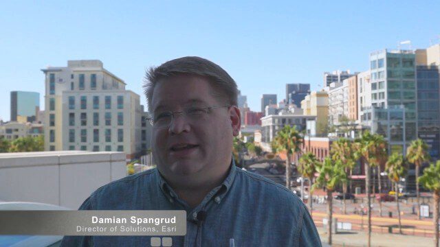
Todd Danielson interviews Damian Spangrud, Director of Solutions, Esri, at the 2014 Esri User Conference in San Diego. They discuss what it's like working at Esri, the tools needed to create a public-facing GIS app and "never underestimating how simple things need to be."
5_22 Remote-Sensing Broadcast (Space Symposium, WorldView-3 and More)
0 Views0 Comments0 Likes
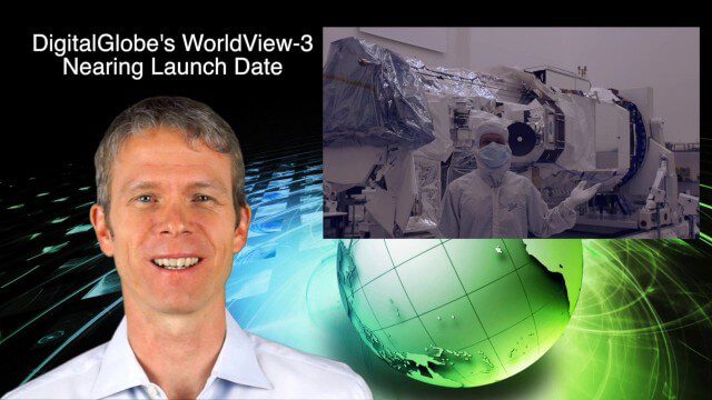
This GeoSpatial Stream broadcast covers a variety of remote-sensing topics, such as the recent Space Symposium in Colorado; a preview of DigitalGlobe's WorldView-3 satellite; a special report on micro-satellites; industry news from Airbus Defence and Space, BAE Systems, Teledyne, and NASA; and more.
1_23 Commercial Satellite Broadcast (Google Sightsmap, Road Safety Map, Rhino Poaching and More)
0 Views0 Comments0 Likes
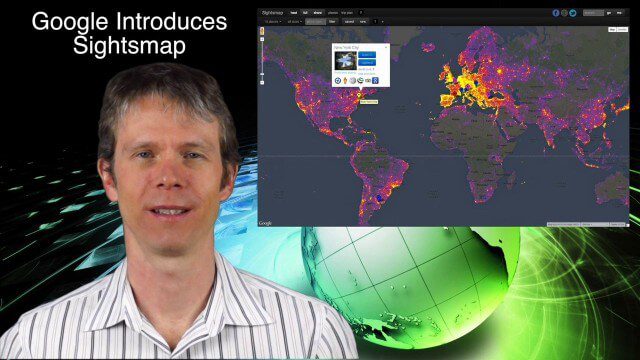
This GeoSpatial Stream broadcast investigates the commercial satellite imagery market; Google's Sightsmap; the WHO Road Safety map; Rhino poaching; business dealings of GRAPHISOFT, Trimble, Sputnik Enterprises; and more.

