
Tag: Todd Danielson

Richard Humphrey Interview (Full-Length Version)
4.34K Views0 Comments0 Likes
Todd Danielson interviews Richard Humphrey, senior director, Infrastructure & Collaboration Products, Autodesk. They discuss how technology can help "bridge the gaps" in infrastructure spending, the Autodesk infrastructure product suite, simulation services, information unification, rules-based design platforms, large-scale modeling, and Autodesk's ReCap product.

4_10 GEOINT Broadcast (Special Ops Data, New Weather Satellite, GPS III and More)
4.35K Views0 Comments0 Likes
This GeoSpatial Stream broadcast discusses geospatial intelligence, its legacy and the upcoming GEOINT Symposium; a recently launched U.S. military weather satellite; GPS III developments; industry news from Headwall, Thermopylae Sciences and Technology, Trimble, Esri, DigitalGlobe, and Riegl; and more.
Las Vegas Broadcast 12_2 (Autodesk University, UAV economic impact, Great Barrier Reef map, ancient maps and more)
4.43K Views0 Comments0 Likes
This Daily Digest from 12/2 covers topics such as Autodesk University in Las Vegas, the economic impact of UAVs, ancient maps, imagery partnerships, climate change and more.

Topcon Products Enable Mapping from Ground, Air and Vehicles
4.49K Views0 Comments0 Likes
Todd Danielson interviews Barbara McInerney, Product Marketing Manager, Topcon GeoPositioning Solutions Group, at the 2014 Esri User Conference in San Diego. They discuss Topcon's GIS and mapping solutions in three main areas: from the ground, from the air and in a vehicle.

7_30 Asia-Pacific Broadcast (Deforestation, Beijing Smog and More)
4.57K Views0 Comments0 Likes
This Asia-Pacific-focused GeoSpatial Stream broadcast discusses deforestation in Indonesia; IBM joining Beijing's fight against smog; Asian effects on mobile-device charging; Pakistan's move toward space technology; satellite imagery use in Australian vineyards; industry news from Spatial Dimensions, ScanEx, Maptek and Esri; geospatial insight into Indonesian politics; and more.
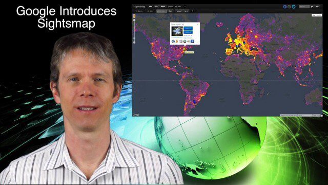
1_23 Commercial Satellite Broadcast (Google Sightsmap, Road Safety Map, Rhino Poaching and More)
4.58K Views0 Comments0 Likes
This GeoSpatial Stream broadcast investigates the commercial satellite imagery market; Google's Sightsmap; the WHO Road Safety map; Rhino poaching; business dealings of GRAPHISOFT, Trimble, Sputnik Enterprises; and more.
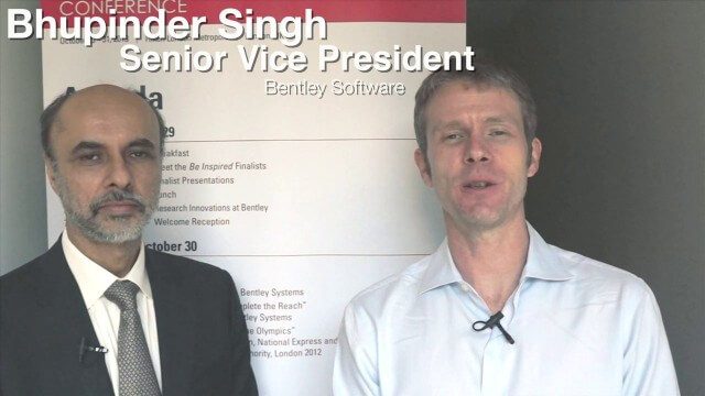
Bhupinder Singh Interview Short Version
4.58K Views0 Comments0 Likes
A condensed version of Todd Danielson interviewing Bhupinder Singh, senior vice president, Bentley Software. They discuss his role with the company, Bentley's "Connected Approach" to software design, how to Innovate with and take advantage of Technology Disruptions, and Bentley's engineering approach called "Optioneering."
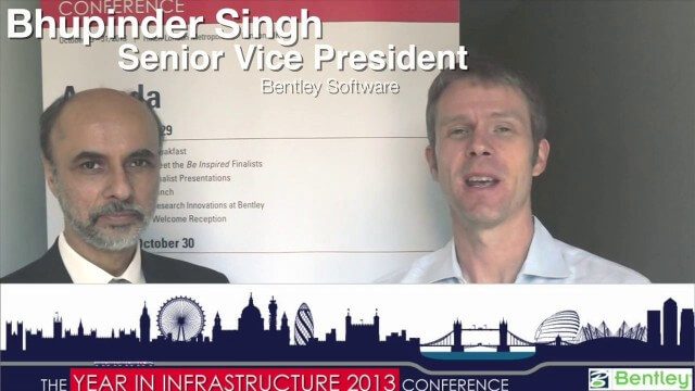
Bhupinder Singh Interview Full Version
4.60K Views0 Comments0 Likes
Todd Danielson interviews Bhupinder Singh, senior vice president, Bentley Software. They discuss Bentley's "Connected Approach" to software design, how to take advantage of Technology Disruptions, Bentley's engineering approach called "Optioneering," the ProjectWise Construction Work Package Server product, the Bentley Year In Infrastructure Event, and "What's Next?" for Bentley in 2014.
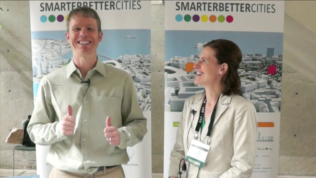
SmarterBetterCities Interview at GeoDesign Summit
4.67K Views1 Comments0 Likes
Todd Danielson interviews Antje Kunze, CEO and founder of SmarterBetterCities, which is based out of Zurich, Switzerland. They discuss the software company's vision for holistic urban planning as well as its tools for achieving those goals.
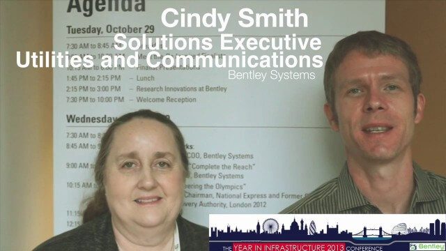
Cyndi Smith Interview
4.95K Views0 Comments0 Likes
Todd Danielson interviews Cyndi Smith, solutions executive, Utilities and Communications, Bentley Systems. They talk about new innovations for Electric Utilities as well as the Bentley Substation product.


