Tag: Todd Danielson
Design Data Adds Intelligence to Crane Modeling
0 Views0 Comments0 Likes
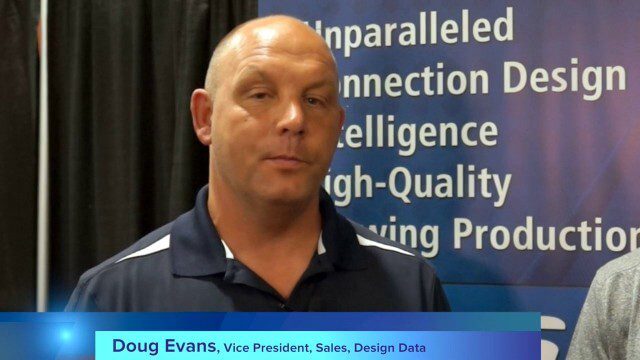
Todd Danielson interviews Doug Evans, Vice President, Sales, Design Data, at the HxGN LIVE event in Las Vegas, Nevada. They discuss sharing models with Intergraph software for production and manufacturing, its new SDS/2 Erector product that adds intelligence to crane modeling and building, and more.
Doug Smith Interview (Avenza Systems)
0 Views0 Comments0 Likes
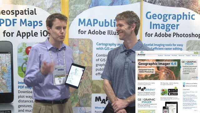
Todd Danielson interviews Doug Smith, Director, Sales & Marketing, Avenza Systems, at the GEOINT Symposium in Tampa, Florida. They discuss Avenza's key products, including MAPublisher, Geographic Imager and its new PDF Maps app. All the products work with Adobe products for increased design functionality while maintaing location integrity.
Esri’s Director of Solutions Discusses Apps, Simplicity and Passion
0 Views0 Comments0 Likes
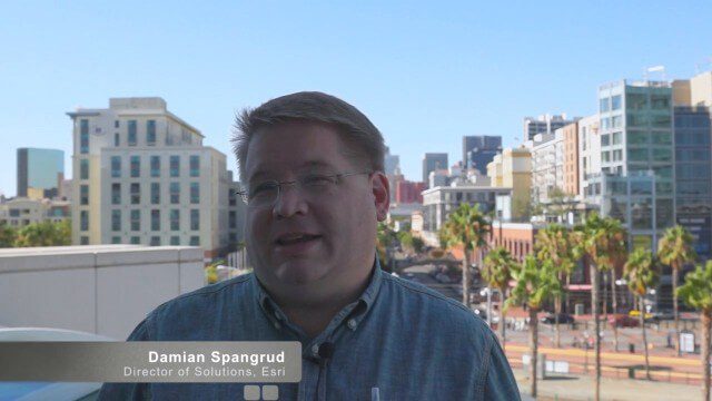
Todd Danielson interviews Damian Spangrud, Director of Solutions, Esri, at the 2014 Esri User Conference in San Diego. They discuss what it's like working at Esri, the tools needed to create a public-facing GIS app and "never underestimating how simple things need to be."
Exploring InfraWorks Vegas Style! Event (Short Version)
0 Views0 Comments0 Likes
This video is a short trailer of the full video recapping the Exploring InfraWorks (Vegas Style!) event that took place during Autodesk University 2013. A bus trip explored the use of Autodesk technology to model the infrastructure of the city of Las Vegas. VTN Consulting is the main contractor on the project.
Exploring InfraWorks, Vegas Style Event (Full-Length Version)
0 Views0 Comments0 Likes
This full-length video summarizes the Exploring InfraWorks, Vegas Style event that took place during Autodesk University on Dec. 4, 2014. A bus trip explored the use of Autodesk technology to model the infrastructure of the city of Las Vegas. VTN Consulting is the main contractor on the project.
GeoSpatial Stream 11_18 (protected areas, geolocated tweets, infrastructure investment and more)
0 Views0 Comments0 Likes
This Daily Digest was published on 11/18/2013. Topics covered include identifying protected habitat areas, satellite imagery legislation, geolocated Tweets to reveal travel patterns, Indonesian infrastructure investment, and more.
GeoSpatial Stream Adds Facebook Page
0 Views0 Comments0 Likes
GeoSpatial Stream introduced a new Facebook page at https://www.facebook.com/geospatialstream.
GeoSpatial Stream Broadcast from London
0 Views0 Comments0 Likes
Reporting from London, Todd Danielson covers the important announcements from the Bentley Year In Infrastructure Conference, the Bentley 500 list of top infrastructure owners worldwide, Bentley's acquisition of MOSES Software, a new columnist for Sensors & Systems, and more.
GIS Day Broadcast 11_20 (Free Sentinel imagery, Czech Cadastre, Google Explore and more)
0 Views0 Comments0 Likes
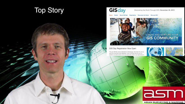
This GeoSpatial Stream celebrates GIS Day, discusses U.S. government initiatives, the decision to release free Sentinel satellite imagery, Czech Cadastre news, Google Explore and more.
Hexagon Solutions CEO Discusses Growing Marketplace
0 Views0 Comments0 Likes
Todd Danielson interviews Claudio Simão, President and CEO, Hexagon Solutions, at the HxGN LIVE event in Las Vegas, Nevada. They discuss the goals of Hexagon Solutions in terms of market needs, this evolving division within Hexagon, the ripe environment for acquisitions, and more.


