
Tag: interview
Greg Bentley Talks Reality Modeling and the Future of 3D Tech
4.74K Views0 Comments0 Likes
The V1 Video team interviewed Greg Bentley, CEO of Bentley Systems, at the 2016 SPAR 3D Expo and Conference, held April 11-14 in The Woodlands, Texas. In Part I, he provides his insight into reality modeling, the differences between a reality mesh and a point cloud, new tools for improved engineering and the future of 3D technology.
Greg Bentley Discusses Reality Modeling Worldwide
6.37K Views0 Comments0 Likes
The V1 Video team interviewed Greg Bentley, CEO of Bentley Systems, at the 2016 SPAR 3D Expo and Conference, held April 11-14 in The Woodlands, Texas. In Part II, he discusses how reality modeling is being applied in several locations across the world, the impacts such modeling is having in expanding the user base beyond engineering and how reality modeling can provide substantial return on investment.
Geospatial as an Integral Part of Information Management
2.53K Views0 Comments0 Likes
The V1 Video team interviewed Fred C. Collins, Ph.D., Distinguished Engineer and Bluemix Evangelist at IBM, at the ENVI Analytics Symposium in Boulder, Colo. Bluemix is the company’s platform-as-a-service that supports geospatial as a key component of the architecture. We spoke about the growing awareness and reliance on geospatial capabilities for data management and analysis, and the flexibility of the Bluemix cloud-based tools that can be extended with hundreds of services.
Exciting Times for Road and Rail Infrastructure
4.49K Views0 Comments0 Likes
The V1 Video team interviewed Andrew Smith at the 2015 Bentley Year in Infrastructure Conference in London in early November. Smith is a Solutions Executive, Rail & Transit, for Bentley Systems, and he discussed new technologies in rail design and construction, London's Crossrail project and its effect on BIM, and evolving business processes affecting the industry.

Esri’s Director of Solutions Discusses Apps, Simplicity and Passion
7.55K Views0 Comments0 Likes
Todd Danielson interviews Damian Spangrud, Director of Solutions, Esri, at the 2014 Esri User Conference in San Diego. They discuss what it's like working at Esri, the tools needed to create a public-facing GIS app and "never underestimating how simple things need to be."
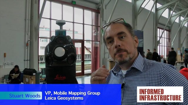
Digital Surveying Improves with Mobility and Multiple Sensors
3.50K Views0 Comments0 Likes
The V1 Video team interviewed Stuart Woods, VP, Mobile Mapping Group, Leica Geospatial, at the REAL 2016 event in San Francisco. He discussed the future of digital surveying, increased mobility in a variety of technologies, how multiple sensors help get the job done, and the company's new Pegasus Backpack product.

Delivering Very-High-Resolution Imagery for Densely Populated Areas
3.10K Views0 Comments0 Likes
The V1 Video team interviewed Paul Peterson, senior vice president, Product & Engineering, nearmap, at the 2015 Esri User Conference in San Diego. The aerial imagery and visual analytics company provides timely, high-resolution and historic imagery that they recently imported to the United States from Australia. The unique sensing capacity and frequent revisits of major cities is accompanied by online analysis tools.

Data Enablement for Better Decision Making
3.79K Views0 Comments0 Likes
The V1 Video team interviewed Don Murray, Co-Founder and President of Safe Software, at the 2015 Esri User Conference in San Diego. We spoke about transforming geospatial data into different formats such as Minecraft for greater community engagement as well as combining buildings and GIS data for greater context. Safe Software is all about data, allowing for analysis, processing, storing and integrating data for better decision making.

Creating 3D Models from Drone Imagery
2.76K Views0 Comments0 Likes
The V1 Video team interviewed Antoine Martin, Business Manager of Pix4D’s operations in the United States, at the 2015 Esri User Conference in San Diego. We spoke about the growing interest in creating useful data from drone platforms as well as the many use cases for Pix4Dmapper software for automated image processing. The company has focused on the simplification of photogrammetric science to enable users to create accurate maps and 3D models from this imagery.

Charting the Intersection of Remote Sensing, GIS and Data Science
2.57K Views0 Comments0 Likes
The V1 Video team interviewed Stuart Blundell, director of business development and strategy for Harris Geospatial Solutions, at the company’s ENVI Analytics Symposium in Boulder, Colo. The interview touched on the company’s analytical toolset, the need and opportunity to grow the market for advanced analytics, and the extension of their toolset to the cloud.


