Tag: interview
Greg Bentley Discusses Reality Modeling Worldwide
0 Views0 Comments0 Likes
The V1 Video team interviewed Greg Bentley, CEO of Bentley Systems, at the 2016 SPAR 3D Expo and Conference, held April 11-14 in The Woodlands, Texas. In Part II, he discusses how reality modeling is being applied in several locations across the world, the impacts such modeling is having in expanding the user base beyond engineering and how reality modeling can provide substantial return on investment.
Autodesk and the Future of the Built Environment
0 Views0 Comments0 Likes
The V1 Video team interviewed Aaron Morris, General Manager of the Reality Solutions Group at Autodesk, at the 2016 SPAR 3D Expo and Conference, held April 11-14 in The Woodlands, Texas. He discusses several new developments at Autodesk, including the company's ReCap products and its new pricing model, new data services to make analysis easier, scan-to-mesh services for asset management, and how reality capture will replace existing methods of asset documentation.
The Challenges and Benefits of Interoperability
0 Views0 Comments0 Likes
The V1 Video team interviewed Allen Adams, Senior Structural Engineer, RAM Group, Bentley Systems, at the 2016 NASCC: The Steel Conference, held April 13-15 in Orlando, Fla. He discusses the major challenges of interoperability in the infrastructure industry, Bentley Systems' approach to these difficulties, what it looks like when data isn't open to others within an organization, and how Bentley software saves its clients time and money.
Linking Project Delivery with Asset Management
0 Views0 Comments0 Likes
The V1 Video team interviewed Bill Pratt at the 2015 Bentley Year in Infrastructure Conference in London in early November. Pratt is principal engineer, AEC Applications, Connecticut DOT, and he discussed how he and his fellow engineers are looking to improve project delivery, asset management and project tracking by using new technology.
Software Interoperability Leads to Engineering Productivity
0 Views0 Comments0 Likes
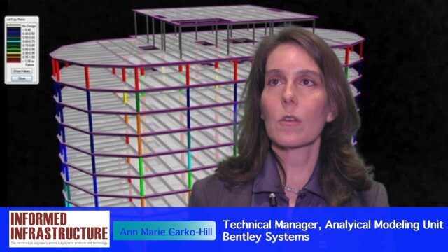
The V1 Video team interviewed Anne Marie Garko-Hill, Technical Manger, Analytical Modeling Unit, Bentley Systems, at the 2016 NASCC: The Steel Conference, held April 13-15 in Orlando, Fla. She discusses engineers' desire for maximum productivity, Bentley Systems' affinity for developers with design experience, the benefits of Bentley software for its users, and how interoperability leads to greater productivity.
Esri’s Director of Solutions Discusses Apps, Simplicity and Passion
0 Views0 Comments0 Likes
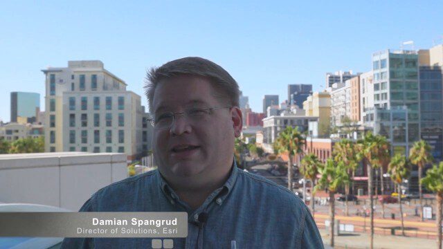
Todd Danielson interviews Damian Spangrud, Director of Solutions, Esri, at the 2014 Esri User Conference in San Diego. They discuss what it's like working at Esri, the tools needed to create a public-facing GIS app and "never underestimating how simple things need to be."
Richard Humphrey Autodesk Interview (Short Version)
0 Views0 Comments0 Likes
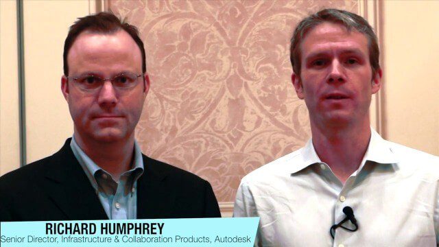
In this condensed version, Todd Danielson interviews Richard Humphrey, senior director, Infrastructure Products, Autodesk. They discuss how technology can help "bridge the gaps" in infrastructure spending, simulation services, and large-scale modeling.
Trimble Discusses Mobile Device Evolution and Flexibility for Precision
0 Views0 Comments0 Likes
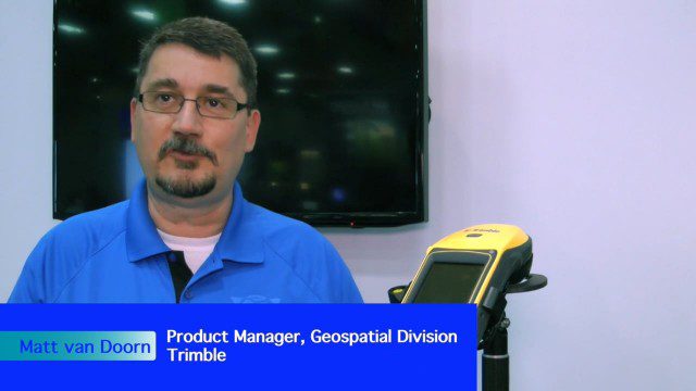
The V1 Video team interviewed Matt van Doorn, Product Manager in Trimble’s Geospatial Division, at the 2015 Esri User Conference in San Diego. We spoke about the rugged requirements of a professional device vs. a smartphone for field data collection. The market is good for both approaches, pairing a smartphone via a bluetooth device for high-precision collection.
OpenBridge Modeler Saves Time, Money throughout Lifecycle
0 Views0 Comments0 Likes
The V1 Video team interviewed Alexander Mabrich, Senior Engineering Consultant with Bentley Systems, at the 2016 NASCC: The Steel Conference, held April 13-15 in Orlando, Fla. He discusses the gap between concept and design in bridge construction, Bentley's OpenBridge Modeler product and how it can help throughout the process, and how a model can continue to be used after construction in maintenance and rehabilitation.
Hybrid VTOL Drone Eases Takeoff and Landing
0 Views0 Comments0 Likes
The V1 Video team interviewed Eric Westreich, who works on Business Development at Aerovel, at the 2015 Esri User Conference in San Diego. We spoke about the unique Aerovel Flexrotor hybrid-electric vertical takeoff and landing (VTOL) craft that can take off and land vertically, rotating its flight to cover more ground and takeoff from a moving platform. The Aerovel Flexrotor comes from a marine legacy, where runways aren’t possible other than on an aircraft carrier.

