Tag: interview
Profile Soil Solutions Software (PS3) Explained
3.11K Views0 Comments0 Likes
The V1 Video team spoke with Matthew Welch, Technical Manager, Profile Products, at the International Erosion Control Association (IECA) Environmental Connection 2016 event held in San Antonio in February 2016. He explained the five key components of a PS3 implementation, the importance of having quality scientific data, value engineering and more.
Harris Geospatial’s Geiger-Mode LiDAR Changing Industry
3.14K Views0 Comments0 Likes
The V1 Video team spoke with Mark Romano, Senior Product Manager, Harris Commercial Geospatial, at the ILMF 2016 event held in Denver in February 2016. He spoke about the major differences between traditional LiDAR and Geiger-Mode LiDAR acquisition and data, Harris acquiring Exelis, and the new types of customers and projects that Geiger-Mode LiDAR allows.
SKUR Helps Engineers Visualize Variance
3.20K Views0 Comments0 Likes
The V1 Video team interviewed Adam Cohen, Founder and CEO of SKUR, at the REAL 2016 event in San Francisco. He discussed what SKUR does and how it can help engineers visualize variance, what DIFF means and its importance, and key utilizations of SKUR technology.
Structural Engineering of Chicago’s 150 N. Riverside Building
3.28K Views0 Comments0 Likes
The V1 Video team interviewed Robert Chmielowski, Structural Engineer and Principal at Magnusson Klemencic Associates (MKA), at the 2016 NASCC: The Steel Conference, held April 13-15 in Orlando, Fla. He discusses the complexities of the unique building being developed at 150 N. Riverside along the Chicago River, which include the site's strong and narrow core, the steel used to make it possible, and the software used to design and analyze the building.
Bentley Systems’ Impact on Road and Rail Industries
3.31K Views0 Comments0 Likes
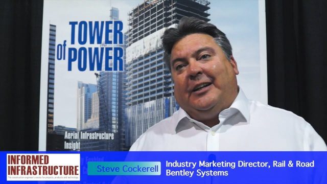
The V1 Video team interviewed Steve Cockerell, Industry Marketing Director of Rail & Road for Bentley Systems, at the 2016 SPAR 3D Expo and Conference, held April 11-14 in The Woodlands, Texas. He discusses the company's ContextCapture, LumenRT and ConceptStatin products as well as the high-profile Crossrail project and how it has changed the company's products and practices.
Digital Surveying Improves with Mobility and Multiple Sensors
3.50K Views0 Comments0 Likes
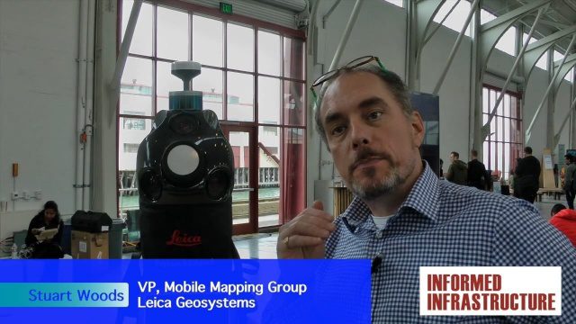
The V1 Video team interviewed Stuart Woods, VP, Mobile Mapping Group, Leica Geospatial, at the REAL 2016 event in San Francisco. He discussed the future of digital surveying, increased mobility in a variety of technologies, how multiple sensors help get the job done, and the company's new Pegasus Backpack product.
Autodesk Investing in the Future of Civil Infrastructure
3.54K Views0 Comments0 Likes
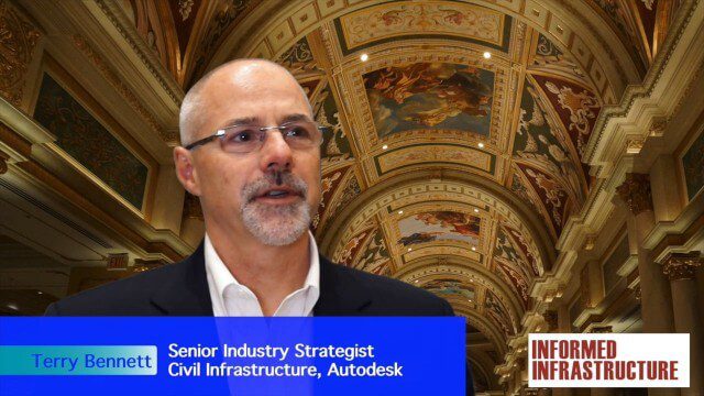
The V1 Video team was at Autodesk University 2015 in Las Vegas and interviewed Terry Bennett, Senior Industry Strategist, Civil Infrastructure, Autodesk. He discussed his role in analyzing future trends, what cities need to become truly "Smart Cities," the benefits of accurate 3D modeling, and getting specific about how projects "will impact me."
Working from Reality Capture to Modeling to Consumption
3.61K Views0 Comments0 Likes
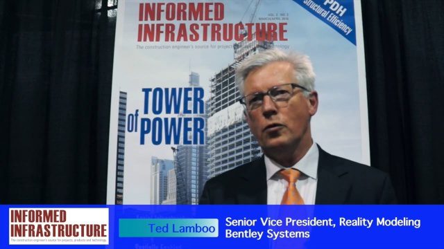
The V1 Video team interviewed Ted Lamboo, Senior Vice President of Reality Modeling for Bentley Systems, at the 2016 SPAR 3D Expo and Conference, held April 11-14 in The Woodlands, Texas. He discusses reality modeling and the full cycle from capture to modeling to consumption, Bentley products used in that cycle such as ContextCapture, and examples of such use in highway design and substation modeling.
LizardTech Combining LiDAR Point Cloud and Image Compression
3.70K Views0 Comments0 Likes
The V1 Video team interviewed Jeff Young, Manager of Regional and International Sales for LizardTech, at the 2015 Esri User Conference in San Diego. The company launched the 9.5 release of its GeoExpress software, which combines image and LiDAR compression technology. The latest tools add automation for color balancing and indexing images.
Data Enablement for Better Decision Making
3.79K Views0 Comments0 Likes
The V1 Video team interviewed Don Murray, Co-Founder and President of Safe Software, at the 2015 Esri User Conference in San Diego. We spoke about transforming geospatial data into different formats such as Minecraft for greater community engagement as well as combining buildings and GIS data for greater context. Safe Software is all about data, allowing for analysis, processing, storing and integrating data for better decision making.

