Tag: interview
Exciting Times for Road and Rail Infrastructure
0 Views0 Comments0 Likes
The V1 Video team interviewed Andrew Smith at the 2015 Bentley Year in Infrastructure Conference in London in early November. Smith is a Solutions Executive, Rail & Transit, for Bentley Systems, and he discussed new technologies in rail design and construction, London's Crossrail project and its effect on BIM, and evolving business processes affecting the industry.
Geospatial as an Integral Part of Information Management
0 Views0 Comments0 Likes
The V1 Video team interviewed Fred C. Collins, Ph.D., Distinguished Engineer and Bluemix Evangelist at IBM, at the ENVI Analytics Symposium in Boulder, Colo. Bluemix is the company’s platform-as-a-service that supports geospatial as a key component of the architecture. We spoke about the growing awareness and reliance on geospatial capabilities for data management and analysis, and the flexibility of the Bluemix cloud-based tools that can be extended with hundreds of services.
Greg Bentley Discusses Reality Modeling Worldwide
0 Views0 Comments0 Likes
The V1 Video team interviewed Greg Bentley, CEO of Bentley Systems, at the 2016 SPAR 3D Expo and Conference, held April 11-14 in The Woodlands, Texas. In Part II, he discusses how reality modeling is being applied in several locations across the world, the impacts such modeling is having in expanding the user base beyond engineering and how reality modeling can provide substantial return on investment.
Greg Bentley Talks Reality Modeling and the Future of 3D Tech
0 Views0 Comments0 Likes
The V1 Video team interviewed Greg Bentley, CEO of Bentley Systems, at the 2016 SPAR 3D Expo and Conference, held April 11-14 in The Woodlands, Texas. In Part I, he provides his insight into reality modeling, the differences between a reality mesh and a point cloud, new tools for improved engineering and the future of 3D technology.
Harris Geospatial’s Geiger-Mode LiDAR Changing Industry
0 Views0 Comments0 Likes
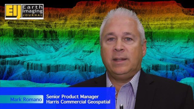
The V1 Video team spoke with Mark Romano, Senior Product Manager, Harris Commercial Geospatial, at the ILMF 2016 event held in Denver in February 2016. He spoke about the major differences between traditional LiDAR and Geiger-Mode LiDAR acquisition and data, Harris acquiring Exelis, and the new types of customers and projects that Geiger-Mode LiDAR allows.
Hybrid VTOL Drone Eases Takeoff and Landing
0 Views0 Comments0 Likes
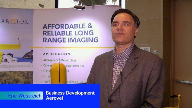
The V1 Video team interviewed Eric Westreich, who works on Business Development at Aerovel, at the 2015 Esri User Conference in San Diego. We spoke about the unique Aerovel Flexrotor hybrid-electric vertical takeoff and landing (VTOL) craft that can take off and land vertically, rotating its flight to cover more ground and takeoff from a moving platform. The Aerovel Flexrotor comes from a marine legacy, where runways aren’t possible other than on an aircraft carrier.
Kleinfelder Interview – Bill Siegel, CEO
0 Views0 Comments0 Likes
Informed Infrastructure spoke with Bill Siegel, CEO of Kleinfelder, at the opening of the company’s new office in downtown Denver. The conversation touched on the company’s growth through the recession, the trend toward mega-mergers in the AEC industry, and the need to address aging infrastructure.
Kleinfelder Interview – Rod Eisenbraun, National Dam and Levee Segment Manager
0 Views2 Comments0 Likes
Informed Infrastructure spoke with Rod Eisenbraun, national dam and levee segment manager, at the opening of Kleinfelder’s new office in downtown Denver. The conversation covered dam creation and rehabilitation, the need for more storage with increasing droughts, the more environmentally friendly approaches these days, and hydro power as a clean power source.
Linking Project Delivery with Asset Management
0 Views0 Comments0 Likes
The V1 Video team interviewed Bill Pratt at the 2015 Bentley Year in Infrastructure Conference in London in early November. Pratt is principal engineer, AEC Applications, Connecticut DOT, and he discussed how he and his fellow engineers are looking to improve project delivery, asset management and project tracking by using new technology.
LizardTech Combining LiDAR Point Cloud and Image Compression
0 Views0 Comments0 Likes
The V1 Video team interviewed Jeff Young, Manager of Regional and International Sales for LizardTech, at the 2015 Esri User Conference in San Diego. The company launched the 9.5 release of its GeoExpress software, which combines image and LiDAR compression technology. The latest tools add automation for color balancing and indexing images.

