
Tag: infrastructure
4_7 Infrastructure Broadcast (Drones, Funding and More)
2.42K Views0 Comments0 Likes
This Infrastructure-themed GeoSpatial Stream broadcast discusses how drone/UAS/UAV technology is being adopted in infrastructure projects worldwide; state transportation funding; the development of transparent wood; industry news from CINTEC, Trimble, IMAGINiT, SmarterBetterCities and Siteco; a video from the Construction Climate Talks series; and more.
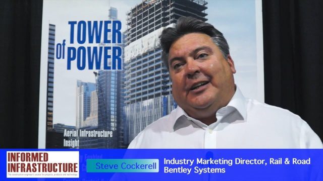
Bentley Systems’ Impact on Road and Rail Industries
3.31K Views0 Comments0 Likes
The V1 Video team interviewed Steve Cockerell, Industry Marketing Director of Rail & Road for Bentley Systems, at the 2016 SPAR 3D Expo and Conference, held April 11-14 in The Woodlands, Texas. He discusses the company's ContextCapture, LumenRT and ConceptStatin products as well as the high-profile Crossrail project and how it has changed the company's products and practices.
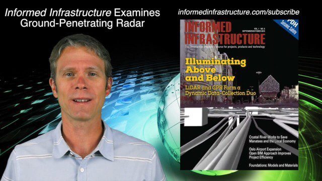
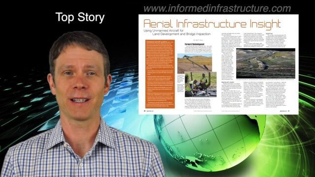
9_24 Infrastructure Broadcast (Federal Initiatives, Ground-Penetrating Radar and More)
12.57K Views0 Comments0 Likes
This Infrastructure-themed GeoSpatial Stream broadcast discusses U.S. federal government action to accelerate infrastructure projects; ground-penetrating radar featured in Informed Infrastructure magazine; industry news from Autodesk, Topcon Positioning Group, Esri, 3D Laser Mapping and RIEGL; a video showing how UAVs are being used to map Mongolian infrastructure; and more.
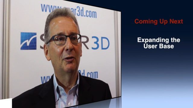
Greg Bentley Discusses Reality Modeling Worldwide
6.37K Views0 Comments0 Likes
The V1 Video team interviewed Greg Bentley, CEO of Bentley Systems, at the 2016 SPAR 3D Expo and Conference, held April 11-14 in The Woodlands, Texas. In Part II, he discusses how reality modeling is being applied in several locations across the world, the impacts such modeling is having in expanding the user base beyond engineering and how reality modeling can provide substantial return on investment.

Spike Kickstarter Video from ikeGPS
3.86K Views0 Comments0 Likes
Spike is the world’s first laser accurate Smartphone measurement solution enabling you to safely and accurately measure an object up to 600 feet (200 m) away. With a simple snap from your Smartphone, you can measure height, width, and area from a photo, and capture target location. Measurement and location are saved with the picture, and can be easily shared via email as a PDF or Spike File (XML).

8_20 Infrastructure Broadcast (Smart Cities, Nepal Recovery and More)
3.81K Views0 Comments0 Likes
This Infrastructure-themed GeoSpatial Stream broadcast discusses Smart Cities initiatives and reports to help urban areas become more sustainable and livable; updates from engineers concerning Nepal's earthquake recovery; industry news from Topcon Positioning Group, Woolpert, gViz and IMAGINiT; thoughts on the growing Smart Cities industry; and more.

4_14 Infrastructure Broadcast (Transportation Asset Management, Water Infrastructure Needs, and More)
3.51K Views0 Comments0 Likes
This infrastructure-focused GeoSpatial Stream broadcast discusses Transportation Asset Management; a report on water infrastructure; designs to protect against hurricanes; public-transit ridership; historical map archives; private infrastructure funding; news from Bluesky and Bentley Systems; rainwater-capturing infrastructure in Rotterdam, The Netherlands; and more.
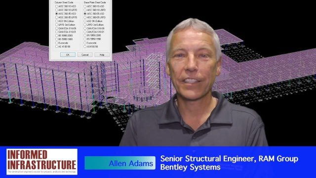
The Challenges and Benefits of Interoperability
4.78K Views0 Comments0 Likes
The V1 Video team interviewed Allen Adams, Senior Structural Engineer, RAM Group, Bentley Systems, at the 2016 NASCC: The Steel Conference, held April 13-15 in Orlando, Fla. He discusses the major challenges of interoperability in the infrastructure industry, Bentley Systems' approach to these difficulties, what it looks like when data isn't open to others within an organization, and how Bentley software saves its clients time and money.

Richard Humphrey Interview (Full-Length Version)
4.34K Views0 Comments0 Likes
Todd Danielson interviews Richard Humphrey, senior director, Infrastructure & Collaboration Products, Autodesk. They discuss how technology can help "bridge the gaps" in infrastructure spending, the Autodesk infrastructure product suite, simulation services, information unification, rules-based design platforms, large-scale modeling, and Autodesk's ReCap product.

Proposed Bus Terminal in NYC
1.39K Views0 Comments0 Likes
Pelli Clarke Pelli Architects proposed a relatively compact terminal to be built exclusively on Port Authority-owned land just west of the current facility between West 38th and West 40th streets that would cost $3.7 billion to construct.


