
Tag: IBM

7_30 Asia-Pacific Broadcast (Deforestation, Beijing Smog and More)
0 Views0 Comments0 Likes
This Asia-Pacific-focused GeoSpatial Stream broadcast discusses deforestation in Indonesia; IBM joining Beijing's fight against smog; Asian effects on mobile-device charging; Pakistan's move toward space technology; satellite imagery use in Australian vineyards; industry news from Spatial Dimensions, ScanEx, Maptek and Esri; geospatial insight into Indonesian politics; and more.
Geospatial as an Integral Part of Information Management
0 Views0 Comments0 Likes
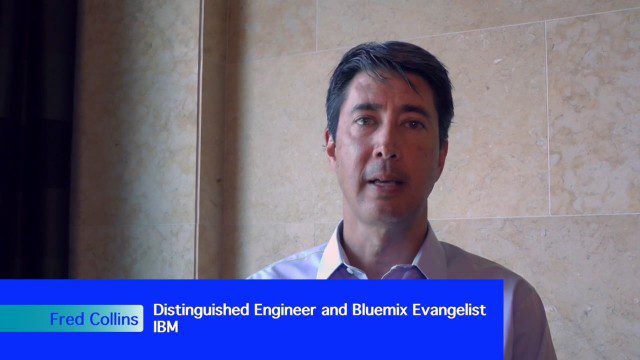
The V1 Video team interviewed Fred C. Collins, Ph.D., Distinguished Engineer and Bluemix Evangelist at IBM, at the ENVI Analytics Symposium in Boulder, Colo. Bluemix is the company’s platform-as-a-service that supports geospatial as a key component of the architecture. We spoke about the growing awareness and reliance on geospatial capabilities for data management and analysis, and the flexibility of the Bluemix cloud-based tools that can be extended with hundreds of services.
Commercial Drones Give A Bird’s Eye View for Inspections
0 Views0 Comments0 Likes
Commercial drones from Aerialtronics take flight with Watson IoT and cognitive visual recognition capabilities. Together, IBM Watson IoT and Aerialtronics can help companies open up expansive possibilities to gain insight in places not easily accessible to humans from monitoring city traffic patterns to inspecting wind turbines, oil rigs and cell tower optimization.


