
Tag: geospatial

2_12 Roger Tomlinson Broadcast (GeoDesign Summit, Tomlinson Tribute, Landsat 8 and More)
0 Views1 Comments0 Likes
This GeoSpatial Stream broadcast discusses Esri's GeoDesign Summit; the recent passing of Roger Tomlinson, "The Father of GIS"; Landsat 8's birthday; climate change and national security; woodland conservation; geospatial gaming technology; and more.

Esri’s Geotrigger Service Explained
0 Views1 Comments0 Likes
Matt Ball spoke with Amber Case, director of Esri's R&D Center in Portland, at the Local Data Summit in Denver on Feb. 25, 2014. The conversation ranges from accessible geospatial technology, the ubiquity of mobile devices, and the connections that are made with location awareness and location-based alerts.
SmallSats are the Next Big Thing
0 Views0 Comments0 Likes
NASA is about to launch six new next-generation Earth-observing small satellites — some as small as a loaf of bread. These tiny spacecraft are helping to foster creative and cost-effective approaches to studying our planet.

Richard Humphrey Autodesk Interview (Short Version)
0 Views0 Comments0 Likes
In this condensed version, Todd Danielson interviews Richard Humphrey, senior director, Infrastructure Products, Autodesk. They discuss how technology can help "bridge the gaps" in infrastructure spending, simulation services, and large-scale modeling.
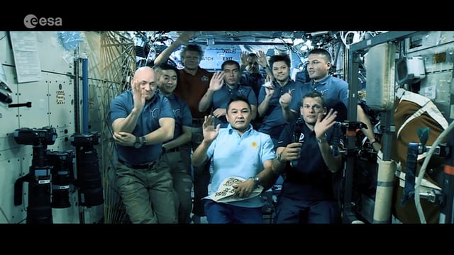
Destination Low Earth Orbit
0 Views0 Comments0 Likes
ESA astronaut Andreas Mogensen narrates this video on the inspiring endeavours of human spaceflight and how it changes our daily lives.
Google Geospatial Technologist Talks Trends
0 Views0 Comments0 Likes
INTERGEO TV interviews Ed Parsons, geospatial technologist at Google, about his thoughts on the future of the map and related technology.

OcuTech 360 Video Mapping
0 Views0 Comments0 Likes
OcuTech 360 is an inclusive provider of 360 degree visual technologies that are applied in geospatial mapping. Thanks to state of the art hardware and software, you can now digitize infrastructure and interact with data in 3D space, take 3D measurements, and annotate. For more info, please visit ocutech360.com or contact [email protected].

Esri’s Director of Solutions Discusses Apps, Simplicity and Passion
0 Views0 Comments0 Likes
Todd Danielson interviews Damian Spangrud, Director of Solutions, Esri, at the 2014 Esri User Conference in San Diego. They discuss what it's like working at Esri, the tools needed to create a public-facing GIS app and "never underestimating how simple things need to be."

Exploring InfraWorks Vegas Style! Event (Short Version)
0 Views0 Comments0 Likes
This video is a short trailer of the full video recapping the Exploring InfraWorks (Vegas Style!) event that took place during Autodesk University 2013. A bus trip explored the use of Autodesk technology to model the infrastructure of the city of Las Vegas. VTN Consulting is the main contractor on the project.
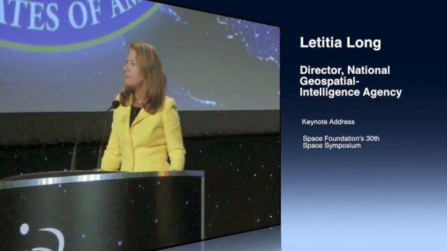
Letitia Long (Director, NGA) Keynote at 30th Space Symposium
0 Views0 Comments0 Likes
Letitia A. Long, Director of the National Geospatial-Intelligence Agency (NGA), delivered an important and powerful keynote address at the 30th Space Symposium in Colorado Springs, Colo., on May 20, 2014. Topics include the future of space programs and the space industry, their roles in intelligence, the changing nature of worldwide threats, and how space-based platforms can help predict new challenges.


