Tag: GeoSpatial Stream
Denver Marks Third Stop of Topcon Roadshow
0 Views0 Comments0 Likes
Topcon takes their technology on the road with a mobile theater and technology showcase, coupled with field demonstrations. The free event hits 24 North American cities from early May through October. The event is aimed at the construction, survey, civil engineering, architecture and design industries. This short video summary recaps the May 2 tour stop in Denver, hosted by local dealer partner GeoShack.
Design Data Adds Intelligence to Crane Modeling
0 Views0 Comments0 Likes
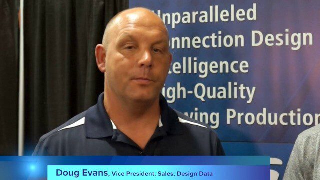
Todd Danielson interviews Doug Evans, Vice President, Sales, Design Data, at the HxGN LIVE event in Las Vegas, Nevada. They discuss sharing models with Intergraph software for production and manufacturing, its new SDS/2 Erector product that adds intelligence to crane modeling and building, and more.
Dominique Pouliquen Interview (Autodesk)
0 Views0 Comments0 Likes
Matt Ball interviews Dominique Pouliquen, Director of Market Development, IPG/Reality Solutions, Autodesk, at SPAR International in Colorado Springs, Colo. They discuss reality computing, the scanning workflow, ReCap Connect, the new RCS format for point clouds, how plug-ins and Web APIs can help customers, and more.
Doug Smith Interview (Avenza Systems)
0 Views0 Comments0 Likes
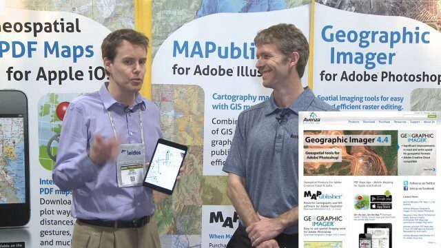
Todd Danielson interviews Doug Smith, Director, Sales & Marketing, Avenza Systems, at the GEOINT Symposium in Tampa, Florida. They discuss Avenza's key products, including MAPublisher, Geographic Imager and its new PDF Maps app. All the products work with Adobe products for increased design functionality while maintaing location integrity.
Elmer Bol Interview (Autodesk)
0 Views0 Comments0 Likes
Matt Ball interviews Elmer Bol, Director of Product Management, Autodesk, at SPAR International in Colorado Springs, Colo. They discuss Reality Capture solutions, evolution in the construction industry, laser scanning, Autodesk products, data capture and mining, change detection, and more.
Esri’s Director of Solutions Discusses Apps, Simplicity and Passion
0 Views0 Comments0 Likes
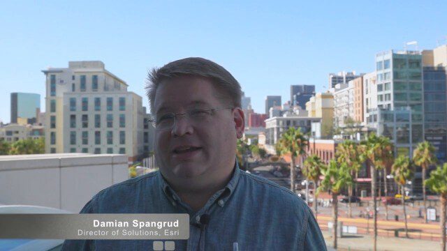
Todd Danielson interviews Damian Spangrud, Director of Solutions, Esri, at the 2014 Esri User Conference in San Diego. They discuss what it's like working at Esri, the tools needed to create a public-facing GIS app and "never underestimating how simple things need to be."
Esri’s Geotrigger Service Explained
0 Views1 Comments0 Likes
Matt Ball spoke with Amber Case, director of Esri's R&D Center in Portland, at the Local Data Summit in Denver on Feb. 25, 2014. The conversation ranges from accessible geospatial technology, the ubiquity of mobile devices, and the connections that are made with location awareness and location-based alerts.
Exelis Discusses Climate Instrument Specialization and Demand
0 Views0 Comments0 Likes
Matt Ball spoke with Eric Webster, VP and Director, Environmental Intelligence, Geospatial Systems, Exelis, at the recent International Space Symposium. The conversation covered some recent sensor contract wins with NASA and JAXA as well as discussion about the evolution of sensors from hardware- to software-based, affording much greater on-orbit flexibility.
Exploring InfraWorks Vegas Style! Event (Short Version)
0 Views0 Comments0 Likes
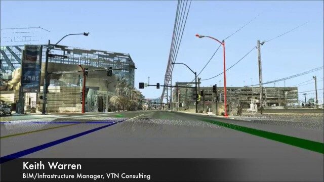
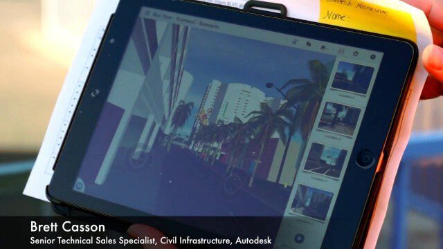
This video is a short trailer of the full video recapping the Exploring InfraWorks (Vegas Style!) event that took place during Autodesk University 2013. A bus trip explored the use of Autodesk technology to model the infrastructure of the city of Las Vegas. VTN Consulting is the main contractor on the project.
Exploring InfraWorks, Vegas Style Event (Full-Length Version)
0 Views0 Comments0 Likes
This full-length video summarizes the Exploring InfraWorks, Vegas Style event that took place during Autodesk University on Dec. 4, 2014. A bus trip explored the use of Autodesk technology to model the infrastructure of the city of Las Vegas. VTN Consulting is the main contractor on the project.


