
Tag: GeoSpatial Stream
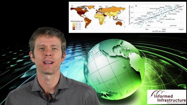
GeoSpatial Stream 11_18 (protected areas, geolocated tweets, infrastructure investment and more)
3.61K Views0 Comments0 Likes
This Daily Digest was published on 11/18/2013. Topics covered include identifying protected habitat areas, satellite imagery legislation, geolocated Tweets to reveal travel patterns, Indonesian infrastructure investment, and more.

Hexagon Solutions CEO Discusses Growing Marketplace
2.69K Views0 Comments0 Likes
Todd Danielson interviews Claudio Simão, President and CEO, Hexagon Solutions, at the HxGN LIVE event in Las Vegas, Nevada. They discuss the goals of Hexagon Solutions in terms of market needs, this evolving division within Hexagon, the ripe environment for acquisitions, and more.

Exelis Discusses Climate Instrument Specialization and Demand
3.65K Views0 Comments0 Likes
Matt Ball spoke with Eric Webster, VP and Director, Environmental Intelligence, Geospatial Systems, Exelis, at the recent International Space Symposium. The conversation covered some recent sensor contract wins with NASA and JAXA as well as discussion about the evolution of sensors from hardware- to software-based, affording much greater on-orbit flexibility.

5_8 Infrastructure Broadcast (ETOD, Global Smart City Rankings and More)
3.43K Views0 Comments0 Likes
This infrastructure-focused GeoSpatial Stream broadcast discusses Equitable Transit-Oriented Development (ETOD); a Global Smart City Ranking; the King County Multi-Family Residential Parking Calculator; historic Denver Union Station's transit makeover; GEOSS; news from Bentley Systems, Esri, Leica Geosystems and Agency9; and more.
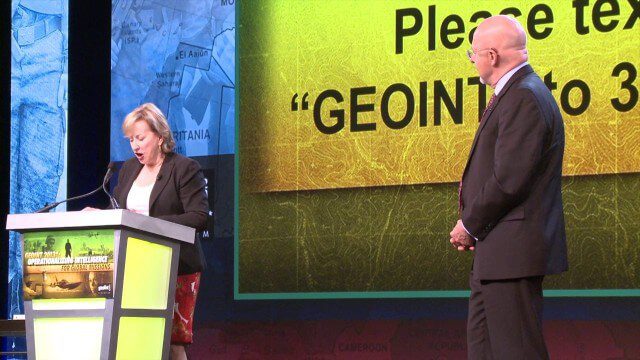
GEOINT Keynote: James Clapper, Director of National Intelligence (Part 3+ Q&A)
2.47K Views0 Comments0 Likes
Part 3 of the GEOINT Symposium keynote address from James Clapper, Director of National Intelligence, with some of the Q&A session.

Roger Tomlinson Tribute (Excerpt)
2.60K Views0 Comments0 Likes
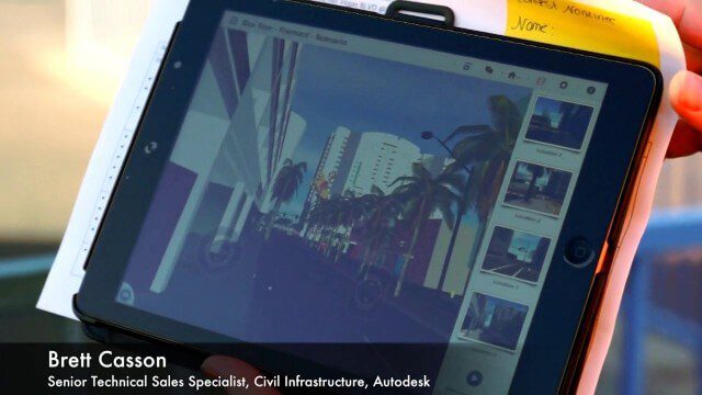
Exploring InfraWorks, Vegas Style Event (Full-Length Version)
3.29K Views0 Comments0 Likes
This full-length video summarizes the Exploring InfraWorks, Vegas Style event that took place during Autodesk University on Dec. 4, 2014. A bus trip explored the use of Autodesk technology to model the infrastructure of the city of Las Vegas. VTN Consulting is the main contractor on the project.

1_6 New Year Broadcast (2014 Predictions, National Map Corps, Gaofen-1 Satellite and More)
5.89K Views0 Comments0 Likes
This GeoSpatial Stream broadcast looks at predictions for 2014, the USGS National Map Corps, China's Gaofen-1 satellite, LiDAR "capturing" Billy the Elephant and more.

Autodesk Infrastructure Symposium (Full-Length Version)
5.32K Views0 Comments0 Likes
This video is the complete recap of the Autodesk Infrastructure Symposium held on Dec. 2, 2013, in Las Vegas, Nevada. Events covered include the General Session, a BIM Best Practices Roundtable, a Technology Showcase, a Transportation and Wet Infrastructure session, and more.

Spike Kickstarter Video from ikeGPS
3.86K Views0 Comments0 Likes
Spike is the world’s first laser accurate Smartphone measurement solution enabling you to safely and accurately measure an object up to 600 feet (200 m) away. With a simple snap from your Smartphone, you can measure height, width, and area from a photo, and capture target location. Measurement and location are saved with the picture, and can be easily shared via email as a PDF or Spike File (XML).


