
Tag: Earth Imaging

6_9 Earth Imaging Broadcast (Satellite Success, Asteroid Mining and More)
0 Views0 Comments0 Likes
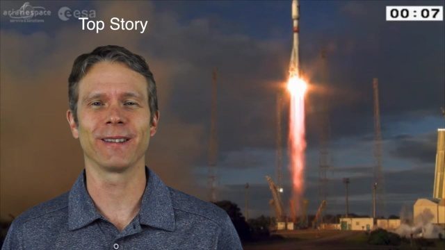
This Earth Imaging-themed GeoSpatial Stream broadcast discusses the recent streak of success at the European Space Agency, including its Sentinel and Galileo launches as well as a demonstration of the SpaceDataHighway; a NASA video about its North Atlantic Aerosols and Marine Ecosystems Study (NAAMES) mission; industry news from Merrick-Surdex Joint Venture, TerraGo, Earth-i, Teledyne Optech and Siteco Informatica; thoughts on asteroid mining and related benefits to Earth sensing; and more.
4_28 Earth Imaging Broadcast (Sentinel, Drones and More)
0 Views0 Comments0 Likes
This Earth Imaging-themed GeoSpatial Stream broadcast discusses the recent successful launch of the European Space Agency's Sentinel 1-B satellite; UAS (or drone) news about a 3D-printed vehicle helping ships navigate Antarctic seas as well as the economic impact of the Micro Aerial Vehicle market; a NASA study on the greening of Earth caused by increased carbon dioxide; industry news from 5D Robotics, LizardTech, the U.S. Geospatial Intelligence Foundation and Teledyne Optech; a video about the Sentinel satellites capabilities; and more.

2_25 Earth Imaging Broadcast (Sentinel Launch, Smallsats and More)
0 Views0 Comments0 Likes
This Earth Imaging-themed GeoSpatial Stream broadcast discusses the recently launched Sentinel-3A Earth-monitoring satellite; a smallsat/cubesat video created by the European Space Agency; NASA UAS/drone news; industry news from Esri, SimActive, Teledyne Optech and Riegl; a funny mapping video from the University of Kentucky's New Maps Plus online education program; and more.
9_4 Earth Imaging Broadcast (Galileo Malfunction, Drones and More)
0 Views0 Comments0 Likes
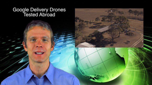
This Earth imaging GeoSpatial Stream broadcast discusses the ESA's potentially lost Galileo navigation satellites; several instances of drones (or UAVs) making news worldwide, including from Google and Amazon; industry news from DigitalGlobe, BlackBridge and MDA, SimActive, and KEYW Corp.; URISA's GIS-Pro conference in New Orleans; subscription information; and more.

10_9 Earth Imaging Broadcast (Land-Cover Change, Seafloor Maps and More)
0 Views0 Comments0 Likes
This GeoSpatial Stream broadcast discusses Earth Imaging news, including new USGS land-cover change models; new maps of the world's seafloor; NASA's Global Precipitation Measurement satellite; industry news from Rapidlasso, Sewall and Optech; an imaging drone from Intel's wearable technology contest; and more.

10_15 Earth Imaging Broadcast (Hurricanes, Wildfire Mapping and More)
0 Views0 Comments0 Likes
This Earth Imaging-themed GeoSpatial Stream broadcast discusses satellite imagery used to track and understand hurricanes, including the Atlantic's Joaquin and the Pacific's triplet hurricanes of Kilo, Ignacio and Jimena; remote sensing used to map and characterize capuchin monkey habitat; a Re/Code video news story about smallsats helping with wildfires; industry news from MDA, Blue Water Satellite, NASA and Esri; clips from a V1 Media video interview of Patrick Meier, founder of the Humanitarian UAV Network; and more.


