Tag: Earth Imaging
8_14 Remote-Sensing Broadcast (WorldView-3 Launch, NASA Satellites and More)
0 Views0 Comments0 Likes
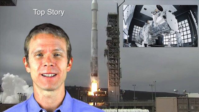
This remote-sensing themed GeoSpatial Stream broadcast discusses the launch of DigitalGlobe's WorldView-3 satellite and its implications; NASA's carbon dioxide- and weather-monitoring satellites; an award for NGA Director Letitia Long; industry news from Esri and CartoDB; the Center for Satellite-Based Crisis Information; and more.
8_13 Earth Imaging Broadcast (Toxic Phytoplankton, Climate Change and More)
0 Views0 Comments0 Likes
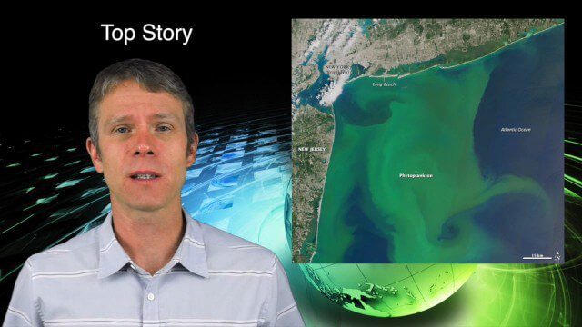
This GeoSpatial Stream broadcast discusses the massive phytoplankton blooms along both U.S. coasts and the damage they are doing; NOAA reporting record high temperatures across the globe; NASA's CubeSat Launch Initiative; industry news from Bluesky Esri, ESA, Airbus and Harris Corp.; thoughts on toxic phytoplankton and climate change; and more.


