Tag: climate
3_26 Climate Broadcast (Melting Ice, Deadly Air Pollution, Food Maps and More)
0 Views0 Comments0 Likes
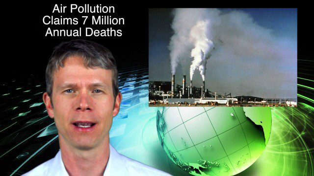
This GeoSpatial Stream broadcast discusses the world's melting ice and rising seas, a WHO report stating that air pollution kills one in eight worldwide, "Cash for Clunker Maps," Food Maps, a GIS rap, and more.
4_14 Earth Day Broadcast (Conservation, El Niño and More)
0 Views0 Comments0 Likes
This GeoSpatial Stream broadcast discusses the upcoming Earth Day on April 22nd and the many events that look to increase awareness of the environment and the technologies that can be used to protect it; a new mobile game called "Save the Park" that introduces children to national parks and environmental stewardship; the effect of El Niño events on marine plant life; industry news from AGI, Esri, Maptiks, East View Geospatial and PCI Geomatics; a video about the history of Earth Day and its impacts; and more.
5_29 Education Broadcast (Esri ConnectED, Greenland Glaciers and More)
0 Views0 Comments0 Likes
This GeoSpatial Stream broadcast discusses Esri's billion-dollar donation to Obama's ConnectED program for K-12 students; new NASA data showing Greenland's glaciers will have more impact on sea-level rise than originally thought; a report on the global space economy; industry news from Raytheon and Blue Marble Geographics; a video showing the power of geospatial tools in young students' hands; and more.
7_10 Remote-Sensing Broadcast (NASA, UN and More)
0 Views0 Comments0 Likes
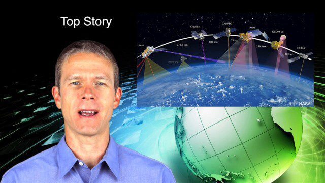
This remote-sensing themed GeoSpatial Stream broadcast discusses NASA's recently launched Orbiting Carbon Observatory-2 satellite as well as its upcoming ISS-RapidScat instrument; The Satellite Project created at New York University; UN Peacekeeping missions using unarmed UAVs; industry news from Fugro, exactEarth, SimActive and EOMAP; the upcoming Esri User Conference; the Climate Resilience App Challenge; and more.
Satellite Imagery to Catch Environmental Changes
0 Views0 Comments0 Likes
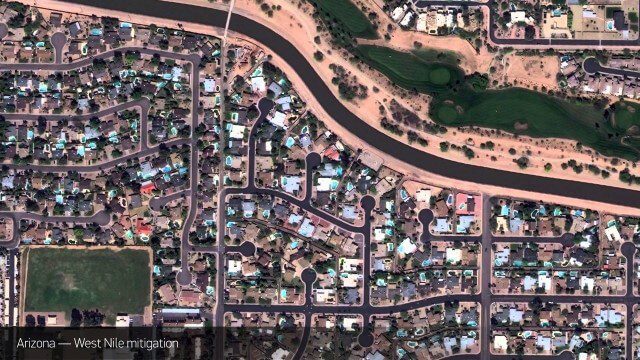
How governments are using high-resolution satellite imagery to catch environmental issues before they become health hazards - and EPA fines.

