Category: Merrick and Co.
ACEC Colorado Award Winner: Data Fusion Predicts Habitat Quality
0 Views0 Comments0 Likes
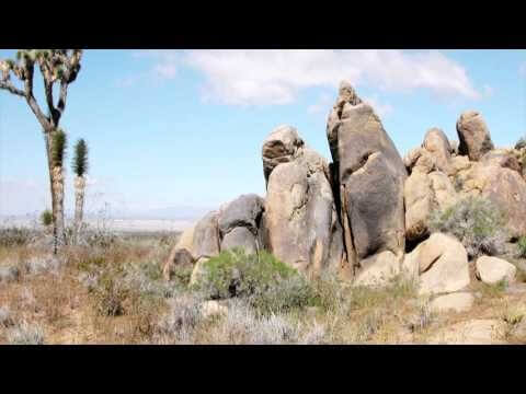
Edwards Air Force Base is located in California’s Mojave Desert, which is home to unique and threatened species such as the desert tortoise, the Joshua tree and desert springparsley. The Air Force monitors impacts of its operations on habitats using multispectral satellite imagery and traditional aerial and field approaches. Hyperspectral imagery and Light Detection and Ranging (LiDAR) remotesensing technologies are being used as more cost-effective methods to collect and analyze spatial data related to habitat quality. Merrick & Company, the primary mapping consultant, was responsible for overall technical implementation, aviation coordination, sensor integration, LiDAR acquisition and point cloud post-processing. Fusing and modeling discreet remotely sensed data from several digital sensors is used to assess habitat quality for inventory and preservation of unique desert species, enabling systematic comparisons to be made over time for effective management of the desert ecosystem. The data also helps to substantiate that operations on Edwards Air Force Base do not degrade habitat quality that may result in the loss of sensitive species in the region.


