


Category: Sponsored Segments
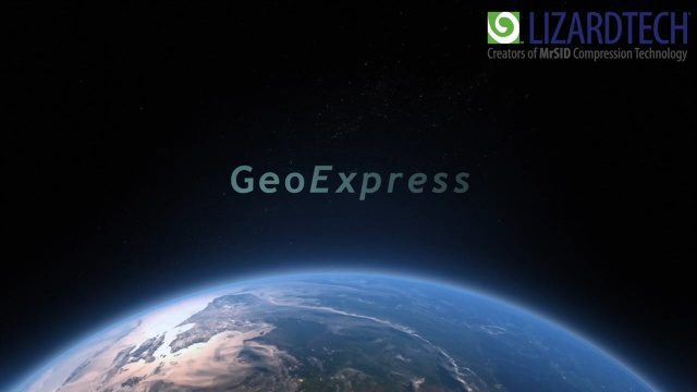
How to Save Time and Money When Processing Geospatial Imagery
0 Views0 Comments0 Likes
Are you overwhelmed by GIS data, and wish you had more time and processing power? Then check out this video from LizardTech that shows the benefits of GeoExpress, which helps geospatial professionals save time and money by compressing and manipulating satellite and aerial imagery.
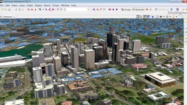
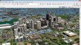
The Power of Geodesign
0 Views0 Comments0 Likes
GeoSpatial Stream created this fast-paced music video that quickly summarizes the power of geodesign, based on footage and ideas found at Esri's annual Geodesign Summit.
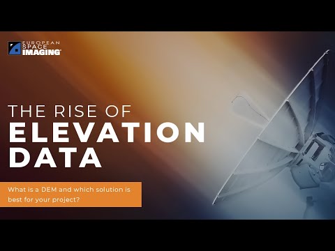
The Rise of Elevation Data – What Is a DEM and Which Solution Is Best for You?
0 Views0 Comments0 Likes
The world exists in three dimensions and often, so does satellite imagery. But with so many types of Digital Elevation Models, each created via different collection and processing methods and sold in a variety of for...
Why Geolocational Accuracy Matters
0 Views0 Comments0 Likes
Satellite imagery has revolutionised industries, all around the world. The resolution and clarity of these images keeps increasing and because of that, it is important to understand the geolocational and geospatial ac...


