


Category: Found on the Internet

Fujisawa Sustainable Smart Town Goes Into Full-Scale Operation
3.30K Views0 Comments0 Likes
Fujisawa SST begins full-scale operation, following the completion of “Fujisawa SST SQUARE,” its core facility.
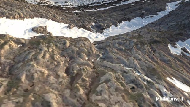
Use of InfraWorks and the Infrastructure Design Suite for a Hydropower Project in Norway
3.35K Views0 Comments0 Likes
Designing successful infrastructure projects is one thing. Communicating and demonstrating those designs to clients and other stakeholders before construction is another. Bringing a design to life for people without a civil engineering background is always a challenge, whether your goal is to sell the design or communicate its impact. - See more at: https://informedinfrastructure.com/20253/creating-real-time-navigable-3d-infrastructure-models/
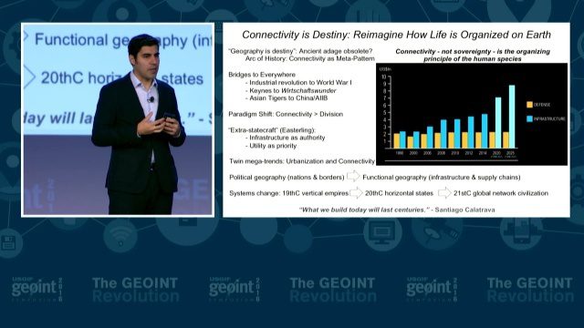
GEOINT Keynote: Parag Khanna, Author on Mapping
3.37K Views0 Comments0 Likes
The U.S. Geospatial Intelligence Foundation (USGIF) recorded the keynote speech of Parag Khanna, author, “Connectography: Mapping the Future of Global Civilization," at the 2016 GEOINT Symposium on May 16, 2016, in Orlando, Fla.
Tracking Ocean Heat with Magnetic Fields
3.39K Views0 Comments0 Likes
Scientists at NASA’s Goddard Space Flight Center are developing a new way to use satellite observations of magnetic fields to measure heat stored in the ocean.
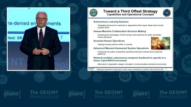
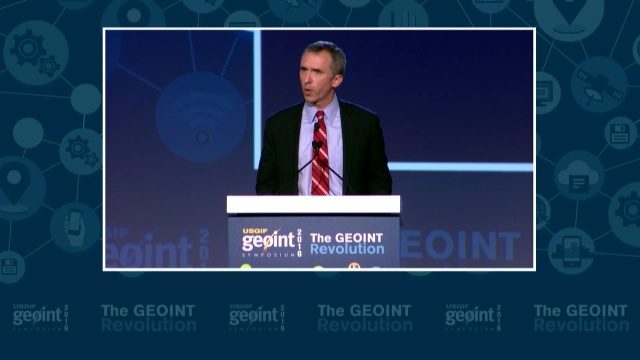
GEOINT Keynote: Stephen P. Welby, Assistant Secretary of Defense for Research and Engineering
3.47K Views0 Comments0 Likes
The U.S. Geospatial Intelligence Foundation (USGIF) recorded the keynote speech of Stephen P. Welby, Assistant Secretary of Defense for Research and Engineering, at the 2016 GEOINT Symposium on May 16, 2016, in Orlando, Fla.
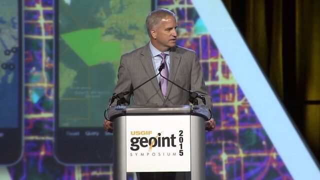
Robert Cardillo, NGA Director – Keynote Full Presentation | GEOINT 2015
3.53K Views0 Comments0 Likes
USGIF's Trajectory On Location published this video of the keynote presentation delivered by Robert Cardillo, director of the National Geospatial-Intelligence Agency, at the GEOINT Symposium 2015.
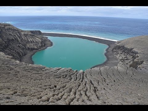
The Birth of a New Island
3.59K Views0 Comments0 Likes
The newly formed Tongan island, unofficially known as Hunga Tonga-Hunga Ha'apai after its neighbors, was initially projected to last a few months. Now it has a 6- to 30-year lease on life, according to a new NASA study.

OcuTech 360 Video Mapping
3.65K Views0 Comments0 Likes
OcuTech 360 is an inclusive provider of 360 degree visual technologies that are applied in geospatial mapping. Thanks to state of the art hardware and software, you can now digitize infrastructure and interact with data in 3D space, take 3D measurements, and annotate. For more info, please visit ocutech360.com or contact [email protected].
GEOINT Keynote: Marcel Lettre, Under Secretary of Defense for Intelligence
3.66K Views0 Comments0 Likes
The U.S. Geospatial Intelligence Foundation (USGIF) recorded the keynote speech of Marcel Lettre, Under Secretary of Defense for Intelligence, at the 2016 GEOINT Symposium on May 16, 2016, in Orlando, Fla.
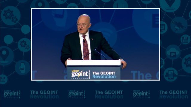
GEOINT Keynote: James R. Clapper, Director of National Intelligence
3.72K Views0 Comments0 Likes
The U.S. Geospatial Intelligence Foundation (USGIF) recorded the keynote speech of James Clapper, director of National Intelligence, at the 2016 GEOINT Symposium on May 16, 2016, in Orlando, Fla.


