


Category: Found on the Internet
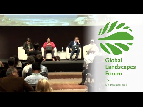
Making Forest Information Systems Work for REDD+ and Beyond
2.01K Views0 Comments0 Likes
Watch this discussion forum from the second day of the Global Landscapes Forum 2014, in Lima, Peru, during COP20. More and more countries have established and institutionalized sustainable, long-term and multi-purpose information systems in the context of REDD+ to support well-informed national policy formulation and decision making at different levels, and to meet national and international reporting needs. This panel discusses if they are used beyond estimating carbon stocks, how they improve global estimates and information, and how they can be most cost effective.
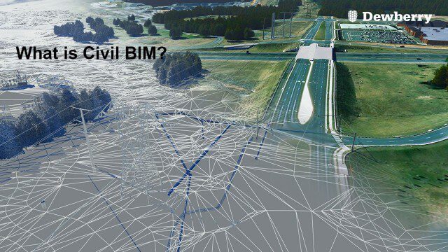
What is Civil BIM?
2.02K Views0 Comments0 Likes
Dewberry Civil Engineers Cody Pennetti and Meagan Judge, along with Senior Applications Specialist Cyndy Davenport, explain how site/civil engineers are using civil BIM to showcase complex information in a familiar way.
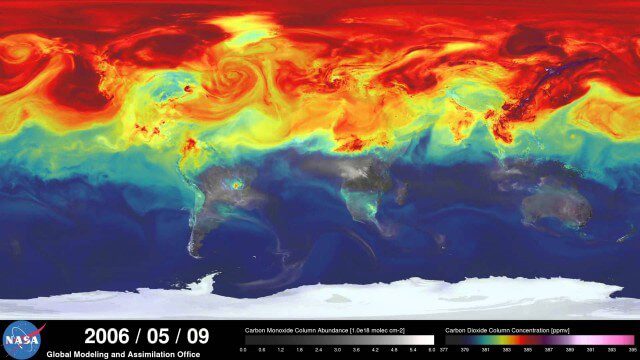
A Year in the Life of Earth’s CO2
2.02K Views0 Comments0 Likes
An ultra-high-resolution NASA computer model has given scientists a stunning new look at how carbon dioxide in the atmosphere travels around the globe.
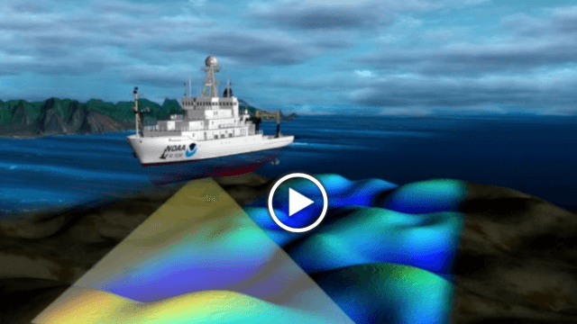
NOAA’s SoundScapes
2.04K Views0 Comments0 Likes
In this episode: in less than three minutes, this video presents the basics about multibeam and side scan sonar, including a visualization that shows how sonar data is used to make products like nautical charts.
GEOSS Functions and Main Components
2.05K Views0 Comments0 Likes
Infrastructure and Data: The Global Earth Observation System of Systems (GEOSS) functions and main components, sustainability, user access and benefits.
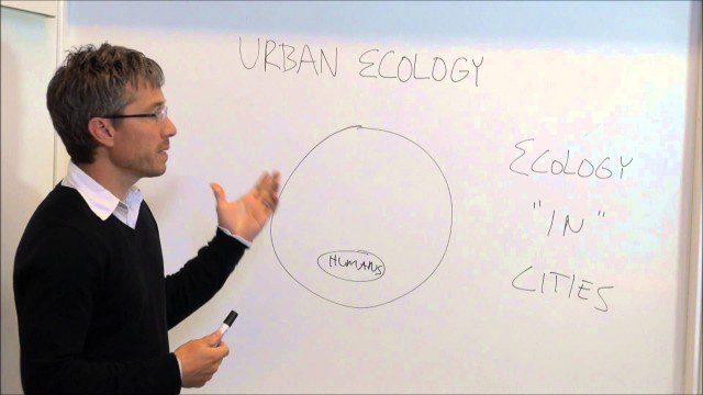
Urban Ecology
2.05K Views0 Comments0 Likes
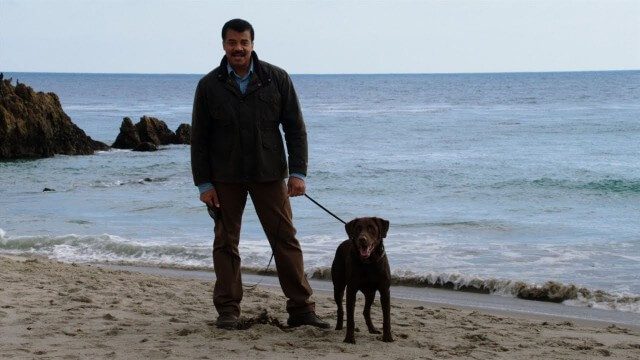
Weather Versus Climate Change
2.05K Views0 Comments0 Likes
Neil deGrasse Tyson breaks down the difference between weather and climate change.

Environmental Geography
2.07K Views0 Comments0 Likes
Students deploy river-temperature sensors to make environmental predictions.

BeetleCam Project
2.08K Views0 Comments0 Likes
New video footage from BeetleCam in the Serengeti, plus announcing the new BeetleCam Hybrid!

How Joint Intelligence, Surveillance and Reconnaissance Works
2.08K Views0 Comments0 Likes
NATO continues to develop key capabilities to protect the security and freedom of its members. Joint Intelligence, Surveillance and Reconnaissance (JISR) is one of these capabilities. It is a combination of processes, systems, and people, including air, ground, maritime, and space assets, which feed into one “fused” report.


