


Category: Found on the Internet

Unleashing the Power of Earth Observations
1.72K Views0 Comments0 Likes
What do we see when we look at the Earth, and what do these observations mean for the years ahead? Barbara Ryan, secretariat director of the Intergovernmental Group on Earth Observations (GEO), discusses this Geneva-based, voluntary partnership of governments and organizations dedicated to coordinated, comprehensive, and sustained Earth observations and information — sharing what scientific observers worldwide are learning about the state and health of planet Earth.
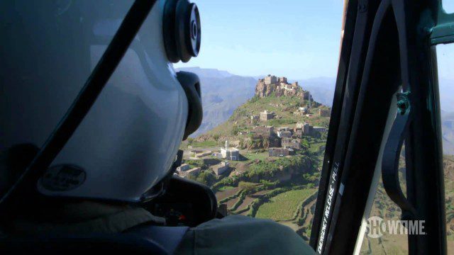
Years of Living Dangerously Trailer #2
1.75K Views0 Comments0 Likes
Hollywood's brightest stars and today's most respected journalists explore the issues of climate change and bring you intimate accounts of triumph and tragedy. YEARS OF LIVING DANGEROUSLY takes you directly to the heart of the matter in this awe-inspiring and cinematic documentary series event from Executive Producers James Cameron, Jerry Weintraub and Arnold Schwarzenegger.
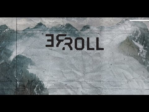
ReROLL Game Using Geotech
1.76K Views0 Comments0 Likes

Building Climate Resilience: Getting Started
1.77K Views0 Comments0 Likes
For many Americans, adapting to new climate regimes means developing new expertise. Decision-makers across the nation are using data and tools to reduce their risks and protect their investments from climate. This video explains how you can use the Climate Resilience Toolkit web site to improve resilience.
NASA | Landsat Tracks Urban Change and Flood Risk
1.77K Views0 Comments0 Likes
NASA | Landsat Tracks Urban Change and Flood Risk
Transportation Asset Management
1.77K Views0 Comments0 Likes
Asset management is a strategic and systematic approach for managing transportation assets over their whole life. Asset management helps ensure that available funding addresses our highest priorities.
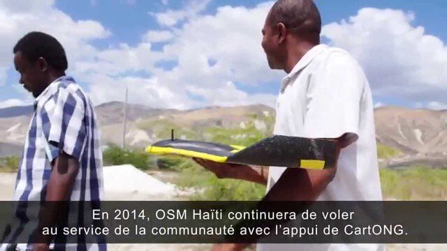
Drone Mapping Haiti (French)
1.77K Views0 Comments0 Likes
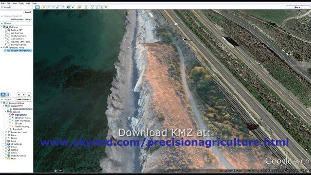
Santa Barbara Refugio Oil Spill in 3D Using Canon Camera
1.78K Views0 Comments0 Likes
Santa Barbara Refugio Beach Oil Spill, May 20-21, 2015. While flying precision agriculture grapes Sky Imaging Mapping Data diverted to Santa Barbara. On arrival the entire area was imaged from 12-1500 feet above the ocean. Post flight the imagery was processed into 3D models and overlaid on Google Earth for easy browsing (waves look jagged).
Location Tracking and Advertising
1.79K Views0 Comments0 Likes
A video from The Economist describes how location technology is used to track online viewers.
National Forest Monitoring and Assessment Program
1.79K Views0 Comments0 Likes
The National Forest Monitoring and Assessment program.


