


Category: Daily Digests
3_19 Asia Pacific Broadcast (Malaysia Airlines Search, India Water Tool and More)
3.86K Views0 Comments0 Likes
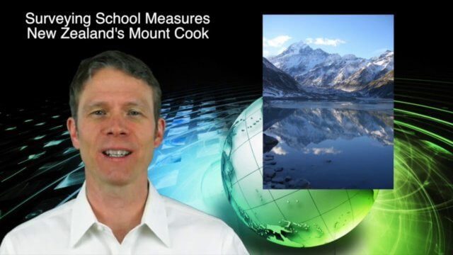
This Asia-Pacific-themed GeoSpatial Stream broadcast discusses Geoscience Australia's seafloor mapping efforts in the continued search for Malaysia Airlines Flight 370; India mapping schools and water; surveyors measuring the height of New Zealand's tallest peak, Mount Cook; industry news from Esri India, Locate15, ISRO and Google; powerful maps created by children in India of the slums they live in and how they'd like to see them rebuilt; and more.
3_26 Infrastructure Broadcast (Urban Sprawl, Climate Change and More)
11.41K Views0 Comments0 Likes
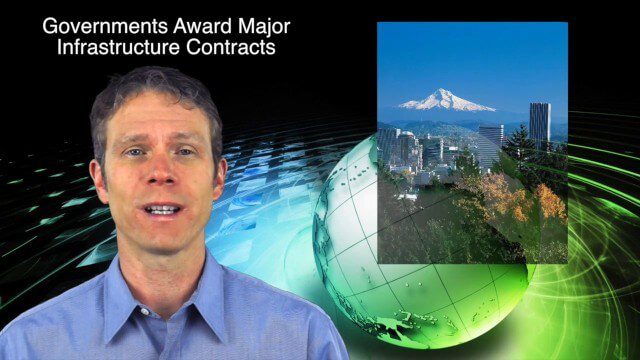
This Infrastructure-themed GeoSpatial Stream broadcast discusses a new report on the varied negative impacts of urban sprawl; an article in Informed Infrastructure about the effects of climate change on aging infrastructure; a summary of recent infrastructure spending; industry news from Esri, Topcon Positioning Group, Digi-Star, Space Foundation, Taylor Devices and Trimble; efforts from URISA's GISCorp in disaster-stricken Vanuatu; and more.
4_9 Earth Imaging Broadcast (3-D Data Capture, Drones and More)
3.77K Views0 Comments0 Likes
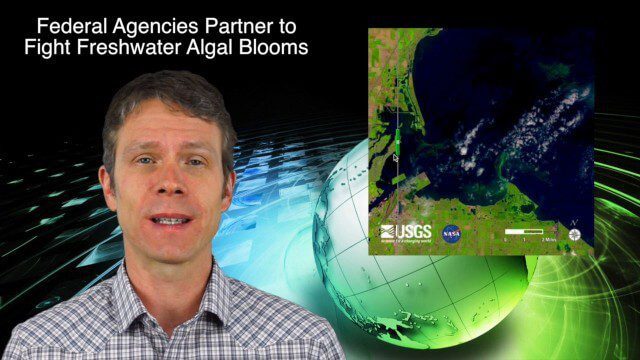
This GeoSpatial Stream broadcast discusses highlights from the recent SPAR International 3D measurement and imaging conference in Houston; federal agency partnerships to monitor and prevent dangerous algal blooms; a technology partnership to improve the efficiency of snow-grooming machines; industry news from Esri and rapidlasso; an impressive drone video; and more.

4_16 Drones/UAS Broadcast (Earth Day, Mysterious Methane and More)
3.97K Views0 Comments0 Likes
This GeoSpatial Stream broadcast discusses important FAA practices impacting drone/UAS use; an article that digs deeper into the many possible consequences of FAA's actions; a mysterious methane hotspot in the U.S. Four Corners area; industry news from Hexagon, Airbus Defence and Space, and SimActive; Earth Day; and more.

4_23 Infrastructure Broadcast (Transportation, AASHTO and More)
3.35K Views0 Comments0 Likes
This Infrastructure-themed GeoSpatial Stream broadcast highlights an Earth Day video from the American Association of State Highway and Transportation Officials (AASHTO); news on infrastructure from the United States, Canada and Saudi Arabia; industry news from Topcon Positioning Group, Esri and Autodesk; a clip from an infrastructure-related interview at SPAR International; and more.

4_30 Earthquake Broadcast (Nepal Mapping, Drone Video and More)
9.52K Views0 Comments0 Likes
This GeoSpatial Stream broadcast focuses entirely on the Nepal earthquake of April 25, 2015, that killed more than 5,000 people. News and video cover the scope of the destruction; how governments and relief organizations are helping through mapping; industry aid from Esri, DigitalGlobe and Airbus Defence & Space; an article on how Nepal was mapped in 48 hours; a video of the Mt. Everest avalanche; and more.
5_14 Infrastructure Broadcast (Nepal Update, 3-D Mapping and More)
3.79K Views0 Comments0 Likes
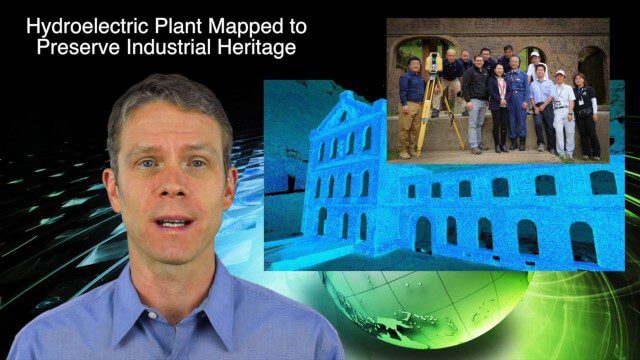
This Infrastructure-based GeoSpatial Stream broadcast provides an update from the latest earthquake in Nepal as well as related maps from Caltech and JPL concerning the area's geology and effects; 3-D mapping of an industrial heritage site in Japan; industry news from Trimble, Leica Geosystems and IMAGINiT; Nepal relief work geared toward rebuilding the area; and more.
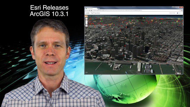
5_21 Climate Broadcast (Antarctic Ice Shelf, ArcGIS Release and More)
4.20K Views0 Comments0 Likes
This GeoSpatial Stream broadcast discusses a NASA study on the shrinking Antarctica Larsen B Ice Shelf; Esri's new release of ArcGIS and its improvements and updates; industry news from Blue Marble Geographics, Boundless and BlackBridge; Nepal relief work geared toward rebuilding the area; Nepal earthquake data from RADARSAT-2; and more.
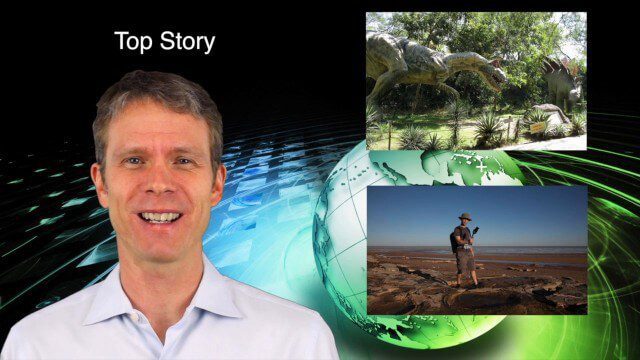
5_28 Asia-Pacific Broadcast (Dinosaurs, Chinese LiDAR and More)
3.33K Views0 Comments0 Likes
This Asia-Pacific GeoSpatial Stream broadcast discusses project in Australia to digitally document dinosaur tracks via imaging technology; the Indian Seismic and GNSS Network, which passed the "test" of the Nepal earthquake; industry news from AAM Sky Geospatial Solutions and Takor Group; an interview clip from the Riegl LiDAR 2015 User Conference in China; a preview of the HxGN Live conference in Las Vegas; and more.

6_11 Innovation Broadcast (Hexagon Conference, Iceberg Tracking and More)
3.35K Views0 Comments0 Likes
This GeoSpatial Stream broadcast discusses the latest innovation seen at the HxGN Live conference hosted by industry powerhouse Hexagon; a Canadian team tracking icebergs to understand how they drift; industry news from GeoDecisions, Esri, exactEarth, Harris Corp, FlightlineGeo and LizardTech; concluding thoughts and opinions from the Hexagon conference; singing with Elvis; and more.


