Category: Infrastructure
9_24 Infrastructure Broadcast (Federal Initiatives, Ground-Penetrating Radar and More)
0 Views0 Comments0 Likes
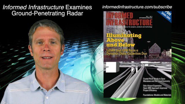
This Infrastructure-themed GeoSpatial Stream broadcast discusses U.S. federal government action to accelerate infrastructure projects; ground-penetrating radar featured in Informed Infrastructure magazine; industry news from Autodesk, Topcon Positioning Group, Esri, 3D Laser Mapping and RIEGL; a video showing how UAVs are being used to map Mongolian infrastructure; and more.
8_20 Infrastructure Broadcast (Smart Cities, Nepal Recovery and More)
0 Views0 Comments0 Likes
This Infrastructure-themed GeoSpatial Stream broadcast discusses Smart Cities initiatives and reports to help urban areas become more sustainable and livable; updates from engineers concerning Nepal's earthquake recovery; industry news from Topcon Positioning Group, Woolpert, gViz and IMAGINiT; thoughts on the growing Smart Cities industry; and more.
7_23 Infrastructure Broadcast (AEC Market Reports, Smart Cities and More)
0 Views0 Comments0 Likes
This Infrastructure-themed GeoSpatial Stream broadcast discusses an optimistic AEC market report; a $16 billion commitment from the state of Washington for transportation improvements; a new LADOT public Web map for smart communities; laser scanning in Mexico; industry news from SmarterBetterCities, Topcon Positioning Group and PaveXpress; thoughts on seeing Informed Infrastructure in action in Chicago; and more.
6_25 Infrastructure Broadcast (London’s Crossrail, DOT Grants and More)
0 Views0 Comments0 Likes
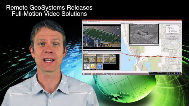
This infrastructure-themed GeoSpatial Stream broadcast discusses London's massive Crossrail project, Bentley's involvement in its BIM practices, and the completion of its tunnel boring; U.S. DOT grants to reduce traffic congestion; Canada's massive New Champlain Bridge project; an interview with HOK's Patrick MacLeamy; industry news from Remote GeoSystems, Esri, IMAGINiT Technologies, Pix4D, Innovyze, Flightline Geographics and Tablerock Land Survey; thoughts on Crossrail and the world's longest tunnel; and more.
3_19 Infrastructure Broadcast (NYC Gas Explosion, Canada vs. U.S. Infrastructure and More)
0 Views0 Comments0 Likes
This infrastructure-focused GeoSpatial Stream broadcast discusses the gas-leak explosion in New York City; the state of the U.S. infrastructure; Canadian investment; announcements from the Smart Grid Innovation Hub, Bentley Systems, Esri, Oracle and Topcon Positioning Group; and more.
4_30 Earthquake Broadcast (Nepal Mapping, Drone Video and More)
0 Views0 Comments0 Likes
This GeoSpatial Stream broadcast focuses entirely on the Nepal earthquake of April 25, 2015, that killed more than 5,000 people. News and video cover the scope of the destruction; how governments and relief organizations are helping through mapping; industry aid from Esri, DigitalGlobe and Airbus Defence & Space; an article on how Nepal was mapped in 48 hours; a video of the Mt. Everest avalanche; and more.
4_23 Infrastructure Broadcast (Transportation, AASHTO and More)
0 Views0 Comments0 Likes
This Infrastructure-themed GeoSpatial Stream broadcast highlights an Earth Day video from the American Association of State Highway and Transportation Officials (AASHTO); news on infrastructure from the United States, Canada and Saudi Arabia; industry news from Topcon Positioning Group, Esri and Autodesk; a clip from an infrastructure-related interview at SPAR International; and more.
3_26 Infrastructure Broadcast (Urban Sprawl, Climate Change and More)
0 Views0 Comments0 Likes
This Infrastructure-themed GeoSpatial Stream broadcast discusses a new report on the varied negative impacts of urban sprawl; an article in Informed Infrastructure about the effects of climate change on aging infrastructure; a summary of recent infrastructure spending; industry news from Esri, Topcon Positioning Group, Digi-Star, Space Foundation, Taylor Devices and Trimble; efforts from URISA's GISCorp in disaster-stricken Vanuatu; and more.
2_19 Infrastructure Broadcast (NSDI, Sustainable Cities and More)
0 Views0 Comments0 Likes
This Infrastructure-themed GeoSpatial Stream broadcast discusses the National Spatial Data Infrastructure (NSDI) Report Card; a Center for Environmental Health map concerning lead-contaminated fuel near airports; industry news from Hexagon, Trimble, Viametris, Apple and Bentley Systems; a video concerning the 2015 ARCADIS Sustainable Cities Index; and more.
1_15 Infrastructure Broadcast (Geodesign Summit, Road Maintenance and More)
0 Views0 Comments0 Likes
This Infrastructure-themed GeoSpatial Stream broadcast discusses the impending road-maintenance crisis worldwide as well as possible new spending initiatives; U.S. DOT grants to strengthen commercial vehicle safety via intelligent transportation systems; a new "drive by" heat-mapping system; industry news from USGIF, Esri, Innovyze and FARO; a video from the 2014 Geodesign Summit in anticipation of this year's event; and more.


