Category: Conference Interviews
PrecisionHawk Making a Marketplace for UAS Data Management and Analysis
2.12K Views0 Comments0 Likes
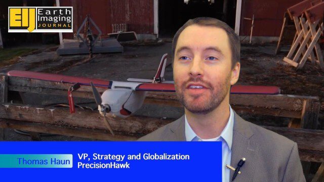
The V1 Video team spoke with Thomas Haun, vice president of strategy and globalization at PrecisionHawk, at the recent Commercial UAV Expo. PrecisionHawk has developed a fixed-wing UAS as well as an online data management and analysis platform to help data collectors provide insight. We talked about the agriculture market, the flexibility of using different sensor payloads and acting on information.
Improving the Economics of Space through Greater Access
2.14K Views0 Comments0 Likes
Surrey Satellite Technology U.S. (SST-US) is an offshoot of the UK-based company that has now begun manufacturing satellites in its Denver-based offices to more efficiently address the U.S. market. Earth Imaging Journal spoke with John Paffett, CEO of Surrey Satellite U.S., about its continued mission to change the economics of space. Their recent development of the FeatherCraft platform, alongside partners NanoRacks and Aerojet Rocketdyne, takes advantage of the ease of deploying satellites from the International Space Station, adding propellant to increase the utility and life expectancy of a 100-kilogram-class satellite platform.
Data Leading a Geospatial Revolution
2.15K Views0 Comments0 Likes
The V1 Video team interviewed Scott Jachimski, director of Data Science at Booz Allen Hamilton, at the GEOINT Symposium in Washington, D.C. We spoke about data science and the need to improve our ability to leverage the mass amounts of data that we’re collecting. Booz Allen Hamilton is leveraging analytical workflows and bringing disparate data together in a “data lake” approach that brings them out of silos to allow the data to help tell you what to do.
Trimble Discusses Hardware and Software Innovation
2.17K Views0 Comments0 Likes
Trimble's Todd Steiner, Product Marketing Director, Imaging, and Tim Lemmon, Product Marketing Director, Geospatial Office Software, spoke with V1 Media's Todd Danielson at SPAR International, which was held March 30-April 2, 2015, in Houston, Texas. They discussed new hardware and software products, smartphones' future accuracy, the differences in platform-neutral conferences, UAV applications and more.
Bentley’s Ron Gant Discusses Roads and Recent Acquisitions
2.22K Views0 Comments0 Likes
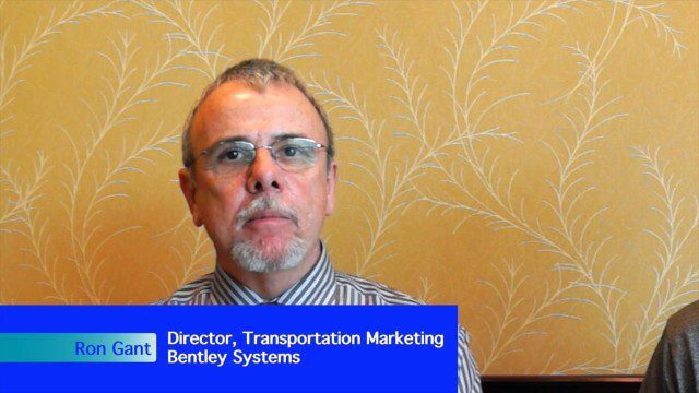
Ron Gant is the Director of Transportation Marketing at Bentley Systems, and he spoke with V1 Media's Todd Danielson at SPAR International, which was held March 30-April 2, 2015, in Houston, Texas. They discussed the transportation industry and Bentley's role there, asset management, Bentley's acquisition of Acute3D, the value of hosting an event in Houston, and more.
Using Drones to Provide Insight for Disaster Recovery
2.23K Views0 Comments0 Likes
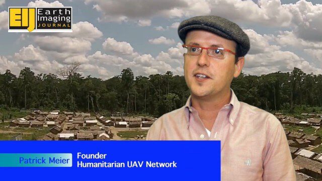
The V1 Video team spoke to Patrick Meier at the Commercial UAV Expo. Meier is a thought leader on humanitarian technology and innovation as well as founder of the Humanitarian UAV Network (UAViators), which has worked in the Philippines to help in the recovery of Cyclone Pam and in Nepal for response to the recent earthquake. We talked about the growing utility of UAVs as well as the use of automation and crowdsourcing to reduce the time and burden of analysis.
Environmental Applications Hold Promise for Ball Aerospace
2.25K Views0 Comments0 Likes
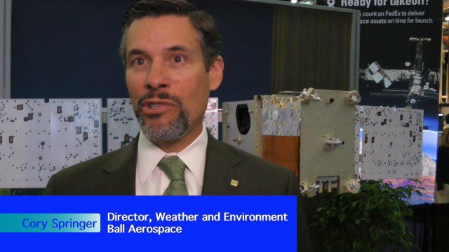
Ball Aerospace has been involved with the commercial and government sides of Earth-observation satellites for some time, including instrument and satellite construction for DigitalGlobe as well as the primary imager for the Landsat 8 satellite. Earth Imaging Journal spoke with Cory Springer, director of weather and environment at Ball Aerospace, about the prospects for environmental monitoring, the need to continue the data record for the Landsat program, the CAVIS instrument on DigitalGlobe’s WorldView-3 satellite that removes the impact of weather on the image, and the motivating role of the International Space Symposium.
Pushing Geospatial Content to the Edge of the Enterprise
2.28K Views0 Comments0 Likes
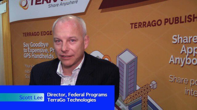
The V1 Video team interviewed Scott Lee, director of Federal Programs at TerraGo Technologies, at the GEOINT Symposium in Washington, D.C. We spoke about how GeoPDF products are democratizing access to geospatial data, with extensive use of the tools in the defense and intelligence communities. The company is extending access via mobile devices and empowering the consumer to mark observations that then improve the quality and accuracy of geospatial information.
Extending Geospatial Capabilities to Support Government Missions
2.32K Views0 Comments0 Likes
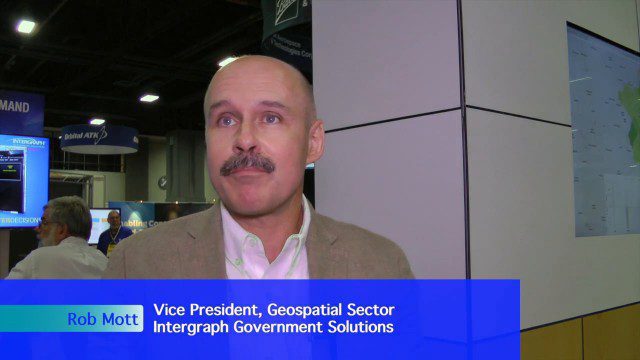
The V1 Video team interviewed Rob Mott, vice president, Geospatial Sector, Intergraph Government Solutions, at the GEOINT Symposium in Washington, D.C. We spoke about the geospatial technological advancements, and how it is becoming more mission critical due to being more accessible and reliable. Intergraph is embracing new sensor platforms, Big Data analytics, and harnessing the cloud to ease integration and exploit geospatial information.
Automating UAS Data Processing to Understand Change
2.33K Views0 Comments0 Likes
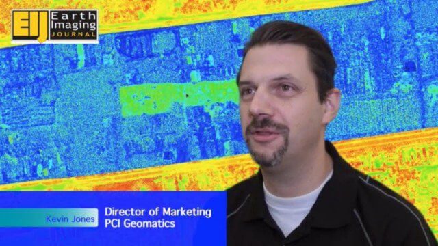
The V1 Video team spoke to Kevin Jones, the director of marketing for PCI Geomatics, about the company’s software to extract information from imagery. The commercial UAS market is a promising input to their image-processing tools, particularly with their automated information-extraction tools, to detect changes.


