


Category: Conference Interviews
Esri’s Donny Sosa Talks UAVs and Photogrammetry
3.40K Views0 Comments0 Likes
Donny Sosa is an AEC Industry Specialist with Esri, and he spoke with V1 Media's Todd Danielson at SPAR International, which was held March 30-April 2, 2015, in Houston, Texas. They discussed UAVs and their proliferation, the pros and cons of UAV use, industry trends, product testing with Pix4D and more.
Greg Bentley Interview Part 1: Favorite Projects and BIM Advancements
3.42K Views0 Comments0 Likes
Informed Infrastructure interviewed Greg Bentley, the CEO of Bentley Systems, at the Year In Infrastructure Event held Nov. 1-3, 2017, at the Hilton London Metropole. In Part 1 of this interview, he discusses some of his favorite finalists and winners from the event as well as the latest advances in BIM that create a connected data environment.
Nick Palatiello Interview
3.43K Views0 Comments0 Likes
Matt Ball interviews Nick Palatiello, Assistant Executive Director for External Affairs, MAPPS. They discuss the lobbying organization's history, agenda and how it works with government officials to advocate for the geospatial profession.
Hexagon Geospatial Unveils Cloud Strategy
3.43K Views0 Comments0 Likes
V1 Media and GeoSpatial Stream attended HxGN Live, Hexagon's annual user conference, at the MGM Grand in Las Vegas from June 1-4, 2015. They interviewed Mladen Stojic, President of Hexagon Geospatial, who discussed the evolution of geospatial data and introduced the company's three-pronged strategy for cloud implementation.
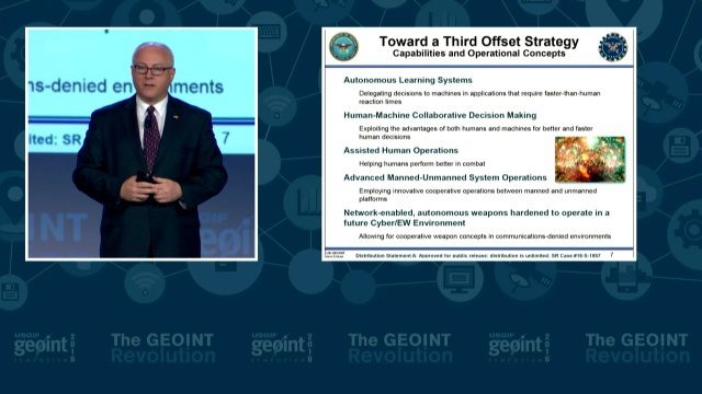
GEOINT Keynote: Stephen P. Welby, Assistant Secretary of Defense for Research and Engineering
3.47K Views0 Comments0 Likes
The U.S. Geospatial Intelligence Foundation (USGIF) recorded the keynote speech of Stephen P. Welby, Assistant Secretary of Defense for Research and Engineering, at the 2016 GEOINT Symposium on May 16, 2016, in Orlando, Fla.
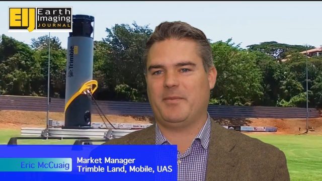
Trimble’s Mobile Mapping Systems Enabling Greater Access
3.47K Views0 Comments0 Likes
The V1 Video team spoke with Eric McCuaig, Market Manager for Trimble's Land, Mobile and UAS Systems, at the ILMF 2016 event held in Denver in February 2016. He spoke about the company's new MX7 mobile-mapping product and its applications as well as the importance of ease of use in modern systems.
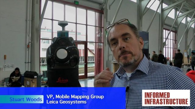
Digital Surveying Improves with Mobility and Multiple Sensors
3.50K Views0 Comments0 Likes
The V1 Video team interviewed Stuart Woods, VP, Mobile Mapping Group, Leica Geospatial, at the REAL 2016 event in San Francisco. He discussed the future of digital surveying, increased mobility in a variety of technologies, how multiple sensors help get the job done, and the company's new Pegasus Backpack product.
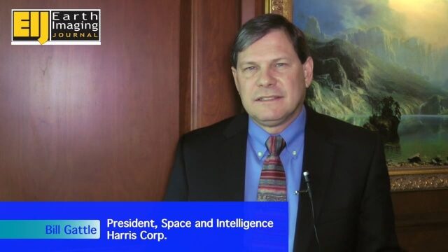
A Revolution in the Value of Remote Sensing
3.50K Views0 Comments0 Likes
The V1 Video team interviewed Bill Gattle, President of Space and Intelligence at Harris Corp., at the 32nd Space Symposium held April 11-14, 2016, in Colorado Springs, Colo. He discusses the worldwide value transformation seen in remote sensing, the company's doubling in size with its acquisition of Exelis and the efforts to make that an effective transition, and the growing importance of the GEOINT space.
Autodesk Investing in the Future of Civil Infrastructure
3.54K Views0 Comments0 Likes
The V1 Video team was at Autodesk University 2015 in Las Vegas and interviewed Terry Bennett, Senior Industry Strategist, Civil Infrastructure, Autodesk. He discussed his role in analyzing future trends, what cities need to become truly "Smart Cities," the benefits of accurate 3D modeling, and getting specific about how projects "will impact me."

Patrick Collins Interview
3.55K Views0 Comments0 Likes
Matt Ball interviews Patrick Collins, Technical Solutions Engineer, Exelis Visual Information Solutions. They discuss the increasing size of LiDAR data and the tools to handle such volume as well as the variety of ways image data can be analyzed, including automated feature extraction.


