Category: Geospatial Training Workshop
NPMap Pioneers Open and Flexible Platform
0 Views0 Comments0 Likes
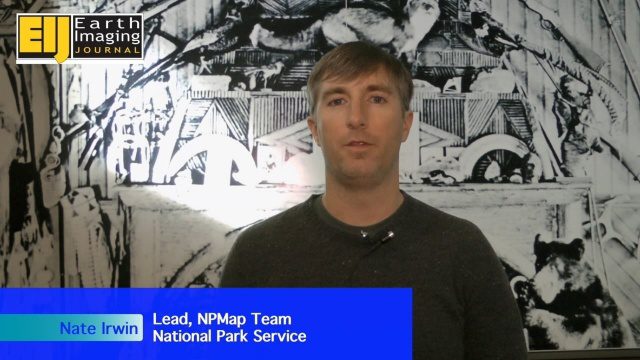
The V1 Video team interviewed Nate Irwin, head of the NPMap team for the National Park Service, at the USFWS/USNPS Geospatial Training Workshop. NPMap is an innovative online mapping platform that helps park visitors navigate the details of national parks as well as providing a platform for parks to customize and share maps for park management.
Conservation Planning in the Face of Climate Change
0 Views0 Comments0 Likes
The V1 Video team interviewed Sam Veloz, Climate Adaptation Group Director for Point Blue Conservation Science. He discussed several items related to monitoring the environment, including finding the proper scale, how the world and its sensing is changing, scenario planning, and his progress report for environmental monitoring and its successes and failures.


