


Category: GEOINT Symposium
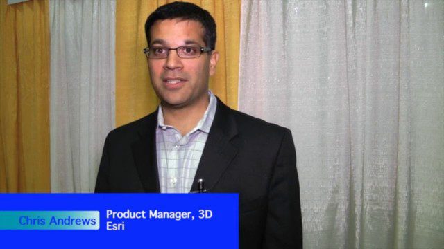
The Unveiling of ArcGIS Earth
30.95K Views0 Comments0 Likes
The V1 Video team interviewed Chris Andrews, product manager for 3D at Esri, at the GEOINT Symposium in Washington, D.C. We spoke about the new ArcGIS Earth immersive global viewer as well as how 3D is being delivered across Esri’s product line. We spoke about the distinction between desktop and apps, and how an incredible wave of 3D data capture will extend the value of visualization.
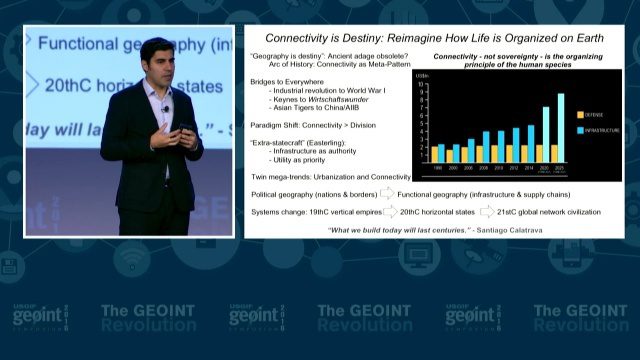
GEOINT Keynote: Parag Khanna, Author on Mapping
3.37K Views0 Comments0 Likes
The U.S. Geospatial Intelligence Foundation (USGIF) recorded the keynote speech of Parag Khanna, author, “Connectography: Mapping the Future of Global Civilization," at the 2016 GEOINT Symposium on May 16, 2016, in Orlando, Fla.
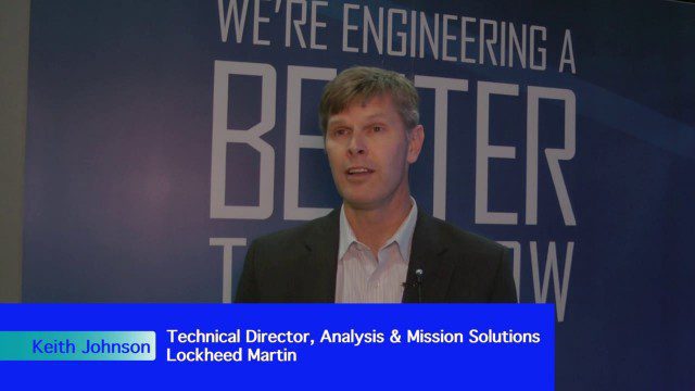
Fusing Data through Automation to Provide Insight
2.08K Views0 Comments0 Likes
The V1 Video team interviewed Keith Johnson, technical director for Analysis & Mission Solutions at Lockheed Martin, at the GEOINT Symposium in Washington, D.C. We spoke about making sense of imagery; wide-area full-motion video; and textual, social, civil, signals and cyber inputs for decision makers. Lockheed Martin is focused on automation to deliver the right type of data to the analyst as well as providing next-generation sensors with on-board processing that complement other expanding sensors.
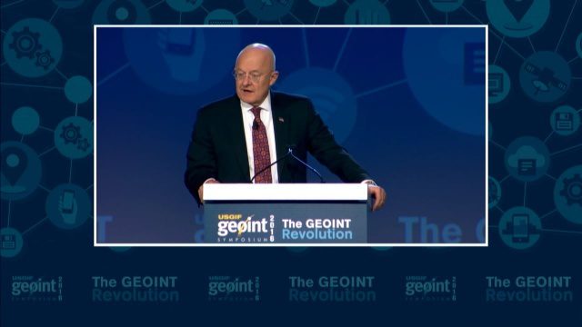
GEOINT Keynote: James R. Clapper, Director of National Intelligence
3.72K Views0 Comments0 Likes
The U.S. Geospatial Intelligence Foundation (USGIF) recorded the keynote speech of James Clapper, director of National Intelligence, at the 2016 GEOINT Symposium on May 16, 2016, in Orlando, Fla.
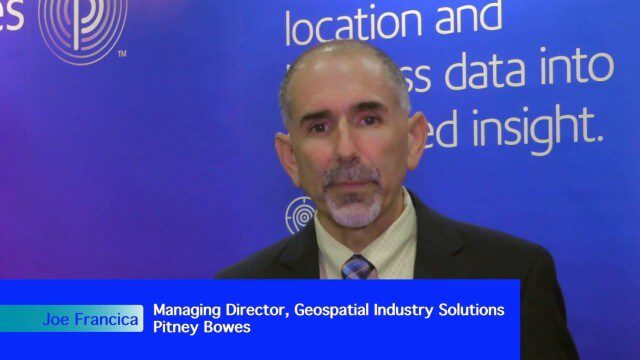
Integrating Geospatial Technology with Business Intelligence
2.59K Views0 Comments0 Likes
The V1 Video team interviewed Joe Francica, managing director, Geospatial Industry Solutions at Pitney Bowes, at the GEOINT Symposium in Washington, D.C. We spoke about the launch of MapInfo Pro Raster that uses new Multi-Resolution Raster technology to enable fast processing, visualization and analysis of large high-resolution imagery datasets. We also spoke about the MapInfo Pro 64 bit, which speeds up productivity.

App Aids Satellite Imaging Awareness
2.46K Views0 Comments0 Likes
The V1 Video team interviewed Alex Herz, president of Orbit Logic, at the GEOINT Symposium in Washington, D.C. We talked about the company’s satellite imagery planning and scheduling capabilities as well as its new foray into apps to make satellite imagery more accessible to everyone. The SpyMeSat mobile application lets smartphone users know when imaging satellites are overhead, what their capabilities are, and has recently added tasking so users can order images directly from their phones.
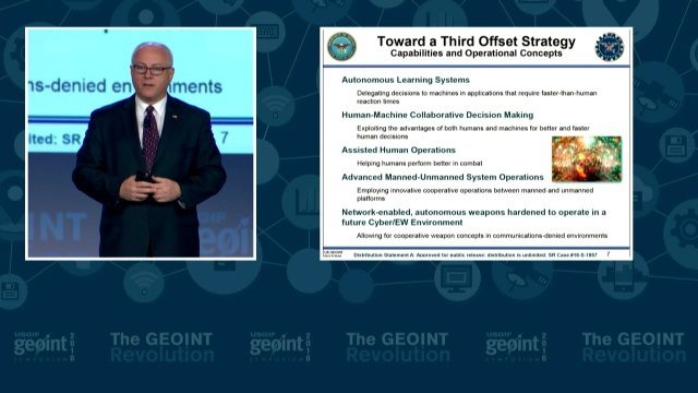
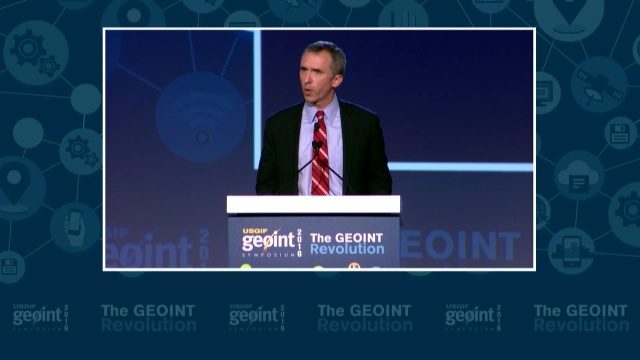
GEOINT Keynote: Stephen P. Welby, Assistant Secretary of Defense for Research and Engineering
3.47K Views0 Comments0 Likes
The U.S. Geospatial Intelligence Foundation (USGIF) recorded the keynote speech of Stephen P. Welby, Assistant Secretary of Defense for Research and Engineering, at the 2016 GEOINT Symposium on May 16, 2016, in Orlando, Fla.
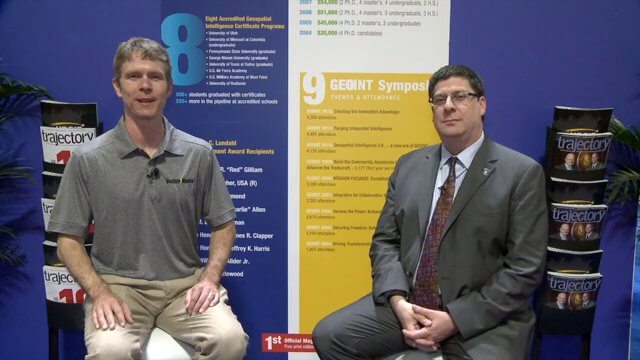
Keith Masback Interview (USGIF CEO at GEOINT)
2.98K Views0 Comments0 Likes
Todd Danielson interviews Keith Masback, CEO of the U.S. Geospatial Intelligence Foundation (USGIF), at the GEOINT Symposium in Tampa, Florida. They discuss highlights of the event, the effect of the show's unexpected delay from fall 2013 to spring 2014 and what has changed since then, where and when the next event will be held, how technologies start at GEOINT and "trickle down" into the larger industry, industry integration, the wide range of companies in attendance, and more.
GEOINT Keynote: Marcel Lettre, Under Secretary of Defense for Intelligence
3.66K Views0 Comments0 Likes
The U.S. Geospatial Intelligence Foundation (USGIF) recorded the keynote speech of Marcel Lettre, Under Secretary of Defense for Intelligence, at the 2016 GEOINT Symposium on May 16, 2016, in Orlando, Fla.


