


Category: GEOINT Symposium
Fusing Data through Automation to Provide Insight
2.08K Views0 Comments0 Likes
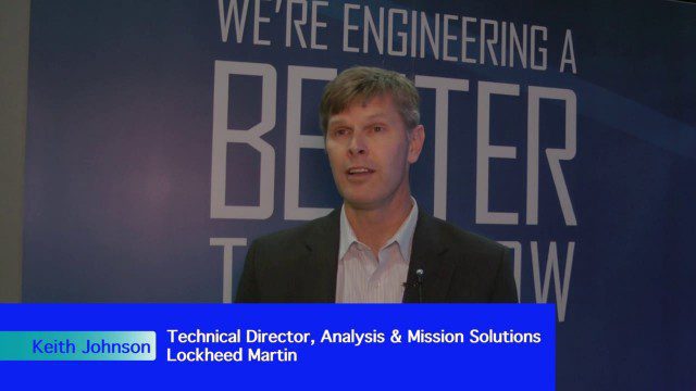
The V1 Video team interviewed Keith Johnson, technical director for Analysis & Mission Solutions at Lockheed Martin, at the GEOINT Symposium in Washington, D.C. We spoke about making sense of imagery; wide-area full-motion video; and textual, social, civil, signals and cyber inputs for decision makers. Lockheed Martin is focused on automation to deliver the right type of data to the analyst as well as providing next-generation sensors with on-board processing that complement other expanding sensors.

Decision Advantage through Data Analysis
1.98K Views0 Comments0 Likes
The V1 Video team interviewed Hugh McFadden, manager of Emerging Intelligence Programs, and Stephen Ryan, senior mission engineer with the Intelligence, Surveillance and Reconnaissance Division, both at Northrop Grumman, at the GEOINT Symposium in Washington, D.C. The pair work closely together on solutions to enhance intelligence gathering focused on threats. We discussed automation vs. human cognitive reasoning as well as conditioning sensor information—exploiting and integrating their inputs.

Doug Smith Interview (Avenza Systems)
3.07K Views0 Comments0 Likes
Todd Danielson interviews Doug Smith, Director, Sales & Marketing, Avenza Systems, at the GEOINT Symposium in Tampa, Florida. They discuss Avenza's key products, including MAPublisher, Geographic Imager and its new PDF Maps app. All the products work with Adobe products for increased design functionality while maintaing location integrity.

App Aids Satellite Imaging Awareness
2.46K Views0 Comments0 Likes
The V1 Video team interviewed Alex Herz, president of Orbit Logic, at the GEOINT Symposium in Washington, D.C. We talked about the company’s satellite imagery planning and scheduling capabilities as well as its new foray into apps to make satellite imagery more accessible to everyone. The SpyMeSat mobile application lets smartphone users know when imaging satellites are overhead, what their capabilities are, and has recently added tasking so users can order images directly from their phones.
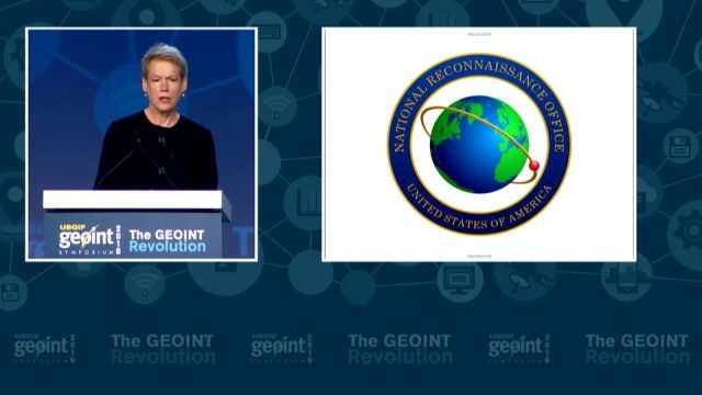
GEOINT Keynote: Betty J. Sapp, Director, NRO
4.43K Views0 Comments0 Likes
The U.S. Geospatial Intelligence Foundation (USGIF) recorded the keynote speech of Betty J. Sapp, director, National Reconnaissance Office, at the 2016 GEOINT Symposium on May 16, 2016, in Orlando, Fla.
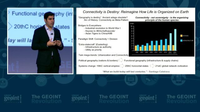
GEOINT Keynote: Parag Khanna, Author on Mapping
3.37K Views0 Comments0 Likes
The U.S. Geospatial Intelligence Foundation (USGIF) recorded the keynote speech of Parag Khanna, author, “Connectography: Mapping the Future of Global Civilization," at the 2016 GEOINT Symposium on May 16, 2016, in Orlando, Fla.
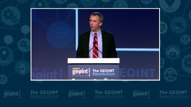
GEOINT Keynote: Marcel Lettre, Under Secretary of Defense for Intelligence
3.66K Views0 Comments0 Likes
The U.S. Geospatial Intelligence Foundation (USGIF) recorded the keynote speech of Marcel Lettre, Under Secretary of Defense for Intelligence, at the 2016 GEOINT Symposium on May 16, 2016, in Orlando, Fla.
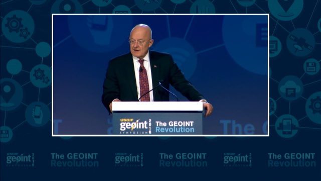
GEOINT Keynote: James R. Clapper, Director of National Intelligence
3.72K Views0 Comments0 Likes
The U.S. Geospatial Intelligence Foundation (USGIF) recorded the keynote speech of James Clapper, director of National Intelligence, at the 2016 GEOINT Symposium on May 16, 2016, in Orlando, Fla.

Data Leading a Geospatial Revolution
2.15K Views0 Comments0 Likes
The V1 Video team interviewed Scott Jachimski, director of Data Science at Booz Allen Hamilton, at the GEOINT Symposium in Washington, D.C. We spoke about data science and the need to improve our ability to leverage the mass amounts of data that we’re collecting. Booz Allen Hamilton is leveraging analytical workflows and bringing disparate data together in a “data lake” approach that brings them out of silos to allow the data to help tell you what to do.
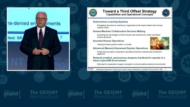
GEOINT Keynote: Stephen P. Welby, Assistant Secretary of Defense for Research and Engineering
3.47K Views0 Comments0 Likes
The U.S. Geospatial Intelligence Foundation (USGIF) recorded the keynote speech of Stephen P. Welby, Assistant Secretary of Defense for Research and Engineering, at the 2016 GEOINT Symposium on May 16, 2016, in Orlando, Fla.


