


Category: Esri’s GeoDesign Summit
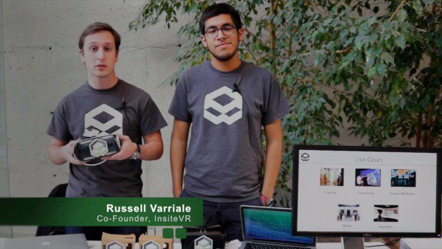
InsiteVR Takes Virtual Reality Beyond Gaming, into Design
0 Views0 Comments0 Likes
InsiteVR helps viewers better understand a variety of designs by experiencing them from a realistic perspective. On behalf of V1 Media, Informed Infrastructure and GeoSpatial Stream, Todd Danielson interviewed Angel Say and Russell Varriale, co-founders of InsiteVR, at the Geodesign Summit 2015 in Redlands, Calif.
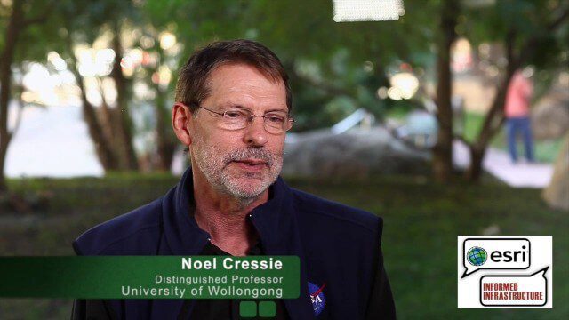
Noel Cressie Talks Spatial Statistics at the Geodesign Summit
0 Views0 Comments0 Likes
Noel Cressie is a Distinguished Professor, National Institute for Applied Statistics Research Australia (NIASRA), University of Wollongong, Australia. He delivered the keynote speech at the Geodesign Summit 2015 in Redlands, Calif., discussing spatial statistics and their role in modern analysis and design. On behalf of V1 Media, Informed Infrastructure and GeoSpatial Stream, Todd Danielson interviewed Cressie at the Summit.

Ulf Mansson Moving Geodata to Minecraft
0 Views0 Comments0 Likes
Ulf Mansson, senior project manager for SWECO, has more than 20 years of experience in the geospatial industry. In 2013, he invented a method to stream geodata into the game Minecraft. On behalf of V1 Media, Informed Infrastructure and GeoSpatial Stream, Todd Danielson interviewed Mansson at the Geodesign Summit 2015 in Redlands, Calif.
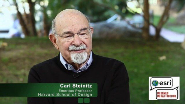
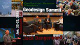
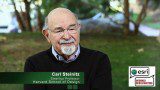
Carl Steinitz Discusses Increased Dangers and Urgency at the Geodesign Summit
0 Views0 Comments0 Likes
Carl Steinitz is an Emeritus Professor at the Harvard University Graduate School of Design and one of the true pioneers and visionaries of geodesign, with 50 years of experience. On behalf of V1 Media, Informed Infrastructure and GeoSpatial Stream, Todd Danielson interviewed Steinitz at the Geodesign Summit 2015 in Redlands, Calif.
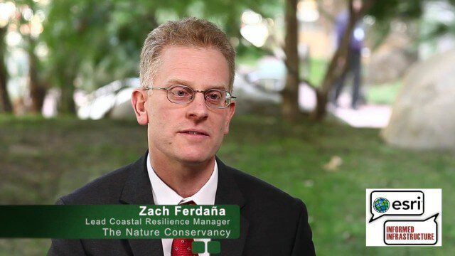
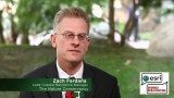
The Nature Conservancy’s Zach Ferdaña and Coastal Resilience at the Geodesign Summit
0 Views0 Comments0 Likes
Zach Ferdaña is Lead Coastal Resilience Manager at The Nature Conservancy. The Coastal Resilience program is an array of projects using online decision support tools to promote the role of coastal habitats in hazard mitigation, restoration and resilience planning. On behalf of V1 Media, Informed Infrastructure and GeoSpatial Stream, Todd Danielson interviewed Ferdaña at the Geodesign Summit 2015 in Redlands, Calif.

Joe Minicozzi Underscores Financial Consequences at the Geodesign Summit
0 Views0 Comments0 Likes
Joe Minicozzi is the principal of the econometric consulting firm Urban3 (U3), which looks at the financial aspects and consequences of urban design choices. On behalf of V1 Media, Informed Infrastructure and GeoSpatial Stream, Todd Danielson interviewed Minicozzi at the Geodesign Summit 2015 in Redlands, Calif.
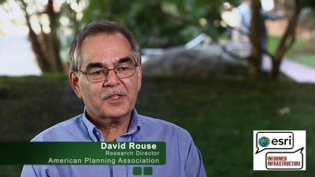
David Rouse Discusses Sustainable Places at the Geodesign Summit
0 Views0 Comments0 Likes
David Rouse, Research Director for the American Planning Association (APA), oversees the Planning Advisory Service and the three National Centers for Planning (Green Communities, Hazards Planning, and Planning and Community Health). On behalf of V1 Media, Informed Infrastructure and GeoSpatial Stream, Todd Danielson interviewed Rouse at the Geodesign Summit 2015 in Redlands, Calif.
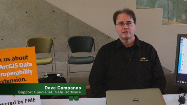
Safe Software Bringing Data Translation to Geodesign
0 Views0 Comments0 Likes
Safe Software is the maker of FME and a global leader in spatial data transformation technology. On behalf of V1 Media, Informed Infrastructure and GeoSpatial Stream, Todd Danielson interviewed Dave Campanas, software support specialist at Safe Software, at the Geodesign Summit 2015 in Redlands, Calif.
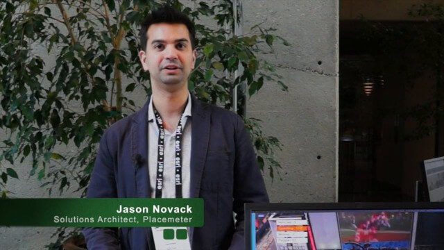
Placemeter Building Real-Time Dynamic Data Layer
0 Views0 Comments0 Likes
Placemeter collects and serves up-to-the-minute information such as how crowded a place is, how long the wait is, and whether it will get more or less crowded in the next hour. On behalf of V1 Media, Informed Infrastructure and GeoSpatial Stream, Todd Danielson interviewed Jason Novack, solutions architect at Placemeter, at the Geodesign Summit 2015 in Redlands, Calif.
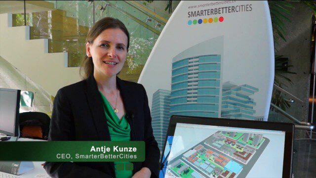
SmarterBetterCities Returns to Geodesign Summit
0 Views0 Comments0 Likes
SmarterBetterCities uses innovative Web-based tools, such as Cloud Cities and 3D Cities Libraries, that allow users to create 3D content and scenarios for urban planning. On behalf of V1 Media, Informed Infrastructure and GeoSpatial Stream, Todd Danielson interviewed Antje Kunze, CEO of SmarterBetterCities, at the Geodesign Summit 2015 in Redlands, Calif.


