


Category: Conference Interviews

Factoring in Project Costs During Design
3.17K Views0 Comments0 Likes
The V1 Video team interviewed Dustin Parkman at the 2015 Bentley Year in Infrastructure Conference in London in early November. Parkman, vice president of product development at Bentley Systems for their road, rail and site products, spoke about the company's new OpenRoads ConceptStation software with a focus on some of the unique benefits.
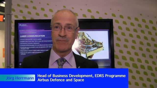
Airbus Defence and Space Brings Laser Communications to Earth Observation
2.42K Views0 Comments0 Likes
Earth Imaging Journal spoke with Jörg Herrmann, head of business development for the EDRS SpaceDataHighway Programme at Airbus Defence and Space, at the recent International Space Symposium. This laser-based data-relay system provides high-speed, near-real-time data transfer for Low Earth Orbit (LEO) satellites and airborne (unmanned/manned) platforms (UAS).
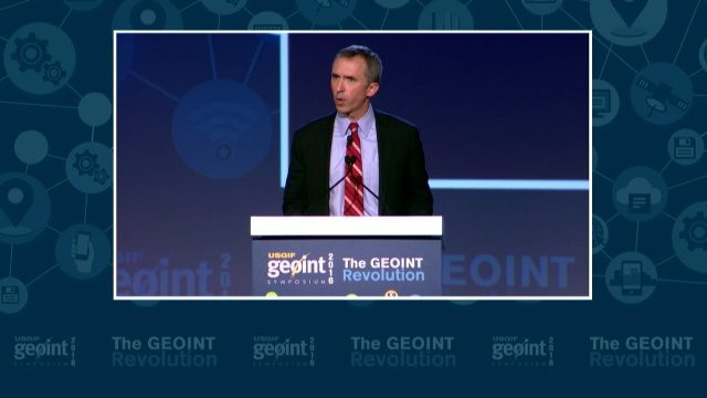
GEOINT Keynote: Marcel Lettre, Under Secretary of Defense for Intelligence
3.66K Views0 Comments0 Likes
The U.S. Geospatial Intelligence Foundation (USGIF) recorded the keynote speech of Marcel Lettre, Under Secretary of Defense for Intelligence, at the 2016 GEOINT Symposium on May 16, 2016, in Orlando, Fla.

RIEGL Creating 3D Data for Improved Disaster Response
2.09K Views0 Comments0 Likes
The V1 Video team interviewed James Van Rens, CEO of RIEGL USA, at the 2015 Esri User Conference in San Diego. We spoke at the 3D Mapping Forum, focusing on the need to map the shoreline for improved disaster response. The company also showcased its new RiCOPTER mapping drone.
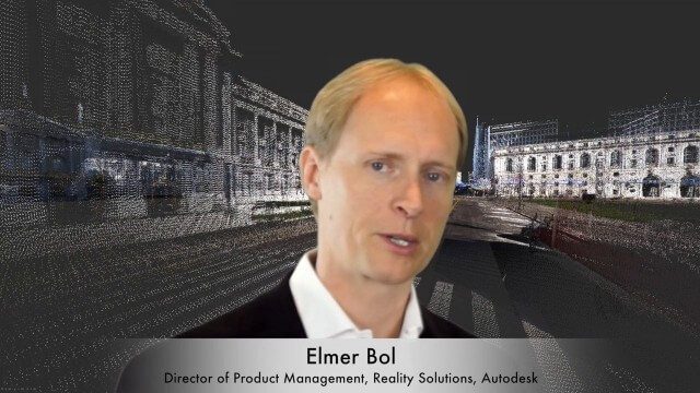
Elmer Bol Interview (Autodesk)
5.42K Views0 Comments0 Likes
Matt Ball interviews Elmer Bol, Director of Product Management, Autodesk, at SPAR International in Colorado Springs, Colo. They discuss Reality Capture solutions, evolution in the construction industry, laser scanning, Autodesk products, data capture and mining, change detection, and more.
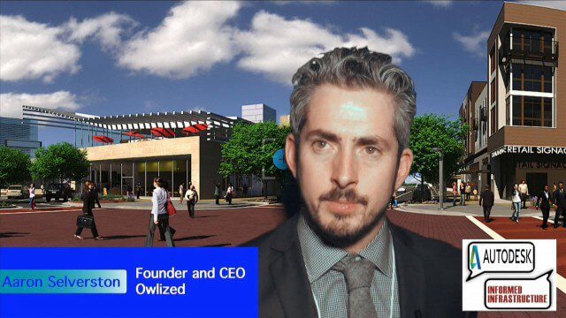
Bringing the Model to the People
2.59K Views0 Comments0 Likes
Informed Infrastructure spoke with Aaron Selverston, Founder and CEO, Owlized, at Autodesk University 2014 in Las Vegas. The Owl is a virtual reality device that presents a 3-D model of planned changes in the familiar form factor of a coin-operator binocular. Users approach the device and look into a registered model to see how familiar surroundings will evolve. Our conversation touched on the need for a more informative outreach method to guide urban transformation.
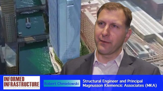
Structural Engineering of Chicago’s 150 N. Riverside Building
3.28K Views0 Comments0 Likes
The V1 Video team interviewed Robert Chmielowski, Structural Engineer and Principal at Magnusson Klemencic Associates (MKA), at the 2016 NASCC: The Steel Conference, held April 13-15 in Orlando, Fla. He discusses the complexities of the unique building being developed at 150 N. Riverside along the Chicago River, which include the site's strong and narrow core, the steel used to make it possible, and the software used to design and analyze the building.
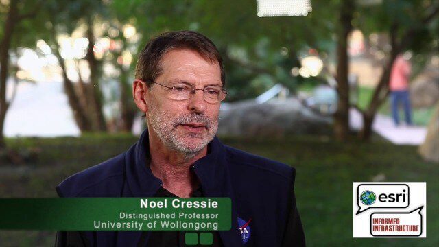
Noel Cressie Talks Spatial Statistics at the Geodesign Summit
9.74K Views0 Comments0 Likes
Noel Cressie is a Distinguished Professor, National Institute for Applied Statistics Research Australia (NIASRA), University of Wollongong, Australia. He delivered the keynote speech at the Geodesign Summit 2015 in Redlands, Calif., discussing spatial statistics and their role in modern analysis and design. On behalf of V1 Media, Informed Infrastructure and GeoSpatial Stream, Todd Danielson interviewed Cressie at the Summit.
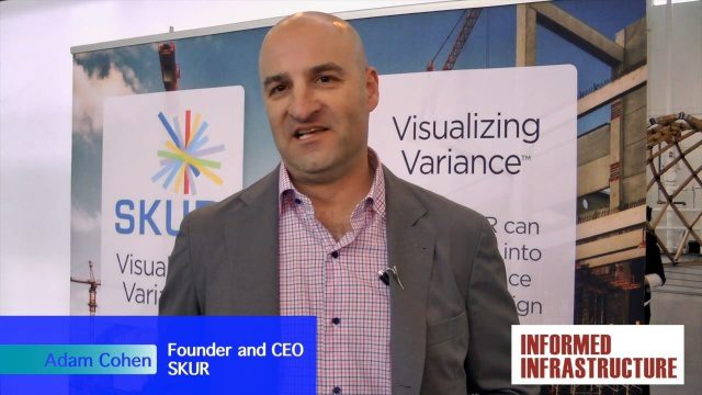
SKUR Helps Engineers Visualize Variance
3.20K Views0 Comments0 Likes
The V1 Video team interviewed Adam Cohen, Founder and CEO of SKUR, at the REAL 2016 event in San Francisco. He discussed what SKUR does and how it can help engineers visualize variance, what DIFF means and its importance, and key utilizations of SKUR technology.
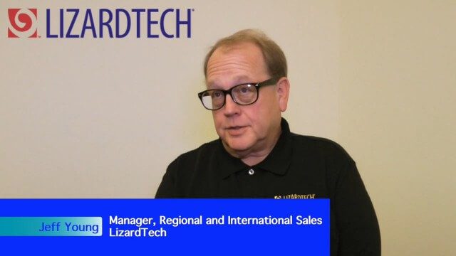
LizardTech Combining LiDAR Point Cloud and Image Compression
3.70K Views0 Comments0 Likes
The V1 Video team interviewed Jeff Young, Manager of Regional and International Sales for LizardTech, at the 2015 Esri User Conference in San Diego. The company launched the 9.5 release of its GeoExpress software, which combines image and LiDAR compression technology. The latest tools add automation for color balancing and indexing images.


