
tdanielson / Added Videos
ESA Preview 2018
4.29K Views0 Comments0 Likes
After a fruitful 2017 with many exciting launches and the end of some historic missions, ESA is ready for the year to come.
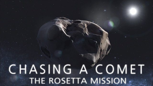
CHASING A COMET – The Rosetta Mission
1.70K Views0 Comments0 Likes
Among the most fascinating projects in the exploration of the Universe is the European Space Agency's Rosetta mission, launched in 2004 to investigate the comet 67P/Churyumov--Gerasimenko. For the first time, a spacec...

TOPEX/JASON Sees 22-Year Sea Level Rise
1.45K Views0 Comments0 Likes
This visualization shows total sea level change between 1992 and 2014, based on data collected from the TOPEX/Poseidon, Jason-1, and Jason-2 satellites. Blue regions are where sea level has gone down, and orange/red regions are where sea level has gone up. Since 1992, seas around the world have risen an average of nearly 3 inches. The color range for this visualization is -7 cm to +7 cm (-2.76 inches to +2.76 inches), though measured data extends above and below 7cm(2.76 inches). This particular range was chosen to highlight variations in sea level change. Download the visualization: http://svs.gsfc.nasa.gov/cgi-bin/deta....
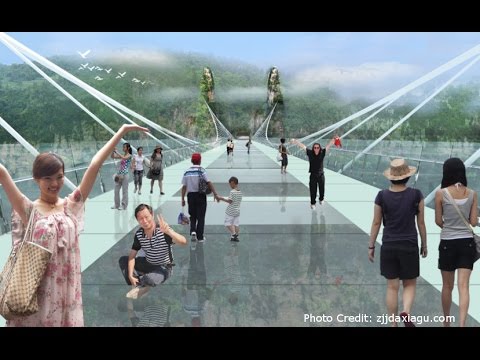
Safety Test of World’s Longest Glass Bridge
1.60K Views0 Comments0 Likes
The world's highest and longest glass bridge, Zhangjiajie Grand Canyon Glass Bridge, opened to the public on Aug. 20, 2016. It offers a way to enjoy a panoramic view of the stunning Zhangjiajie Grand Canyon — if you dare to walk on it!

Mapping an Asteroid with Lasers
1.41K Views0 Comments0 Likes
The OSIRIS-REx Laser Altimeter (OLA) will provide a three-dimensional map of asteroid Bennu’s shape, which will allow scientists to understand the context of the asteroid’s geography and the sample location. OLA is provided by the Canadian Space Agency in exchange for Canadian ownership of a portion of the returned asteroid sample. Credit: NASA’s Goddard Space flight Center/Katrina Jackson
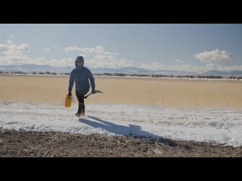
Video: Snow Scientists in the Windswept Montana Prairie
152 Views0 Comments0 Likes
NASA’s SnowEx ground and airborne campaign is a multiyear effort using a variety of techniques to study snow characteristics, and the team began their new field study year in January 2021.

Jack Dangermond Discusses User Conference Highlights, GIS “Critical Mass” (1 of 4)
11.26K Views0 Comments0 Likes
In the first of four installments, Todd Danielson interviews Jack Dangermond, President and Founder, Esri, at the 2014 Esri User Conference in San Diego. Jack covers event highlights such as GIS aiding the fight against polio in Africa, new technologies introduced, and reaching a "critical mass" of development and use in the industry.
NOAA’s Advanced Technology Demonstrator
887 Views0 Comments0 Likes
The ATD is a new research radar that combines the benefits of a phased array radar with the benefits of a dual polarization technology.
The Last Ice Trailer
503 Views0 Comments0 Likes
THE LAST ICE tells the story of the Inuit communities fighting to protect the disappearing Arctic that has been their home for centuries. From National Geographic Pristine Seas, THE LAST ICE premieres on National Geographic Channel this October.

Elmer Bol Interview (Autodesk)
5.42K Views0 Comments0 Likes
Matt Ball interviews Elmer Bol, Director of Product Management, Autodesk, at SPAR International in Colorado Springs, Colo. They discuss Reality Capture solutions, evolution in the construction industry, laser scanning, Autodesk products, data capture and mining, change detection, and more.


