
tdanielson / Added Videos
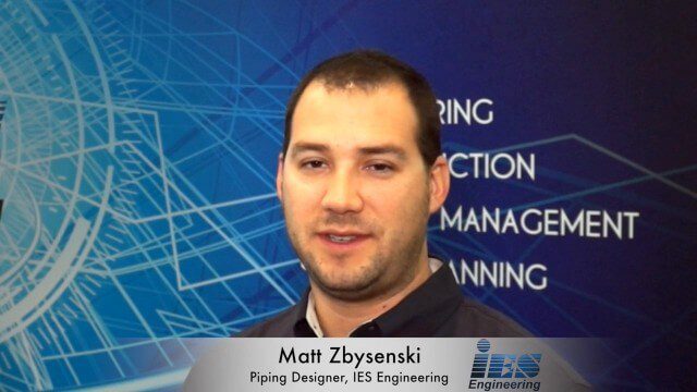
Matt Zbysenski Interview (IES Engineering)
3.80K Views0 Comments0 Likes
Matt Ball interviews Matt Zbysenski, Piping Designer, IES Engineering, at SPAR International in Colorado Springs, Colo. They discuss LiDAR in the construction workflow, safety mitigation, cost/time savings, pre-fabricated construction, and oil & gas uses.
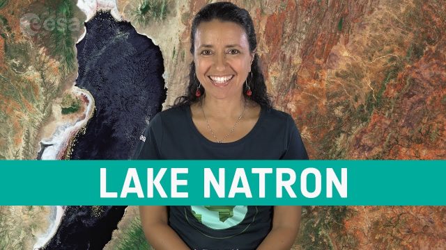
Earth from Space: Lake Natron
819 Views0 Comments0 Likes
In this week's edition of the Earth from Space program, the Copernicus Sentinel-2 mission takes us over two saline lakes in East Africa.

White House Innovation for Disaster Response and Recovery Demo Day
1.68K Views0 Comments0 Likes
The White House hosts an event bringing together technologists, entrepreneurs, and members of the disaster response community to showcase tools that will make a tangible impact in the lives of survivors of large-scale emergencies.
PEACE on Earth GPS Art
1.35K Views0 Comments0 Likes
I traveled over 65,700 miles to meet people from all around the world to help me create a GPS drawing that would express a simple message. This is my journey.
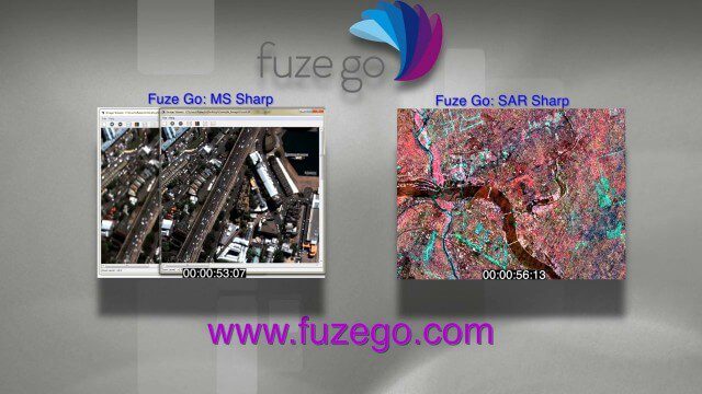
Fuze Go Commercial
8.93K Views0 Comments0 Likes
We created this commercial for Fuze Go, where it's running on the company's Web site at www.fuzego.com.
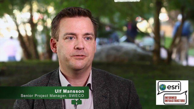
Ulf Mansson Moving Geodata to Minecraft
4.72K Views0 Comments0 Likes
Ulf Mansson, senior project manager for SWECO, has more than 20 years of experience in the geospatial industry. In 2013, he invented a method to stream geodata into the game Minecraft. On behalf of V1 Media, Informed Infrastructure and GeoSpatial Stream, Todd Danielson interviewed Mansson at the Geodesign Summit 2015 in Redlands, Calif.

Capturing the Iconic Red Rocks Park and Amphitheater
9.96K Views1 Comments0 Likes
The V1 Video Team made a site visit to Red Rocks Amphitheater and Park to capture video interviews and witness an ambitious drone-based reality-capture exercise to photograph and model the mountain park. The visualization team from engineering firm Kimley-Horn captured the area for the City and County of Denver, which owns and maintains the park. Autodesk and its partner 3D Robotics were on hand to demo their collaboration on SiteScan, which creates an automated workflow from drone capture to use within Autodesk’s modeling software. The mission had many purposes, including historical archiving of the park, modeling stormwater erosion, tracking trail maintenance, and building acoustics and lighting models for the amphitheater.
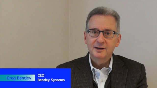
Greg Bentley Interview Part 2: Lifecycle Management, Productizing Services and Tech Uptake in Construction
6.87K Views0 Comments0 Likes
Informed Infrastructure interviewed Greg Bentley, the CEO of Bentley Systems, at the Year In Infrastructure Event held Nov. 1-3, 2017, at the Hilton London Metropole. In Part 2 of this interview, he discusses the importance of lifecycle management and the "productizing" of services as well as his thoughts on the slow uptake of technology in construction and how it can be overcome.

First Interstellar Asteroid Wows Scientists
2.62K Views0 Comments0 Likes
Scientists were surprised and delighted to detect--for the first time--an interstellar asteroid passing through our solar system.
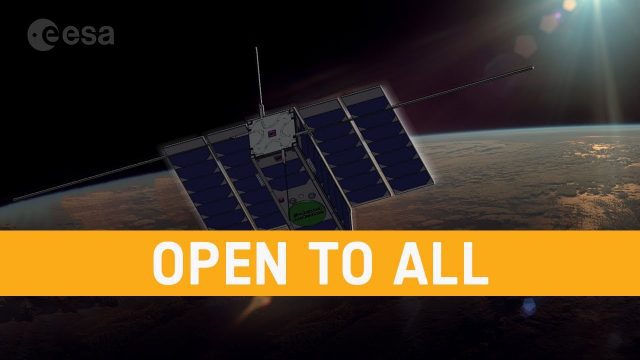
OPS-SAT: ESA’s Flying Lab, Open to All
682 Views0 Comments0 Likes
What would you do with a powerful computer based in space? At just 30 centimeters in height, OPS-SAT is a tiny CubeSat designed to serve as a large-scale software laboratory in orbit–containing one of the most powerfu...


