
tdanielson / Added Videos

V1 Media News Broadcast Sponsorship
5.50K Views0 Comments0 Likes
This video describes the capabilities and benefits of sponsoring V1 Media video news broadcasts.
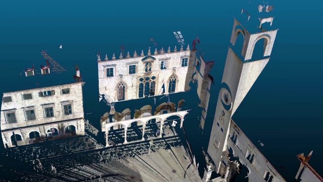
Teledyne Lidar Enables 3D Data Acquisition, Visual Effects for HBO’s Game of Thrones
813 Views0 Comments0 Likes
Vektra generated 3D point clouds in Dubrovnik using various lidar technologies including Teledyne Optech’s Maverick mobile lidar system and Polaris fixed terrestrial scanner. The lidar point clouds were then colorized with digital camera imagery and image fusion software.
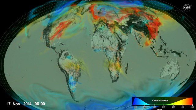
Following Carbon Dioxide Through the Atmosphere
1.30K Views0 Comments0 Likes
Using observations from NASA's Orbiting Carbon Observatory (OCO-2) satellite, scientists developed a model of the behavior of carbon in the atmosphere.
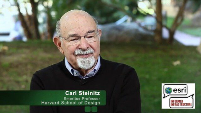
Carl Steinitz Discusses Increased Dangers and Urgency at the Geodesign Summit
6.95K Views0 Comments0 Likes
Carl Steinitz is an Emeritus Professor at the Harvard University Graduate School of Design and one of the true pioneers and visionaries of geodesign, with 50 years of experience. On behalf of V1 Media, Informed Infrastructure and GeoSpatial Stream, Todd Danielson interviewed Steinitz at the Geodesign Summit 2015 in Redlands, Calif.
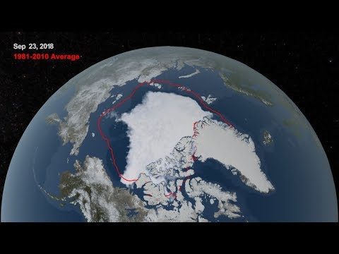
2018 Arctic Sea Ice Ties for Sixth Lowest Minimum Extent on NASA Record
773 Views0 Comments0 Likes
Arctic sea ice reached its annual minimum extent Sept. 19, and then again on Sept. 23, 2018. NASA works with the National Snow and Ice Data Center to track sea ice in the Arctic as it grows to a maximum extent thro...
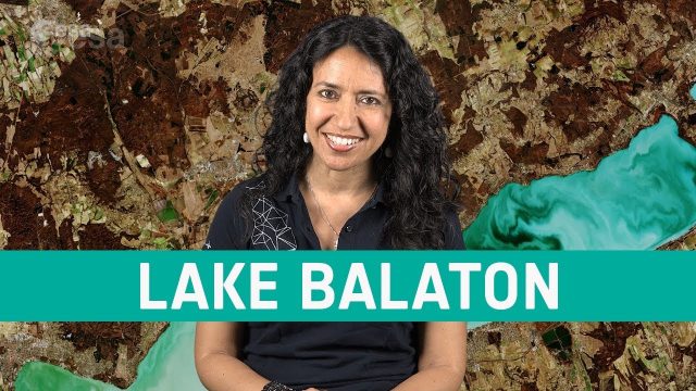
Earth from Space: Lake Balaton
686 Views0 Comments0 Likes
In this week's edition of the Earth from Space program, the Copernicus Sentinel-2 mission takes us over the largest lake in central Europe: Lake Balaton in Hungary.
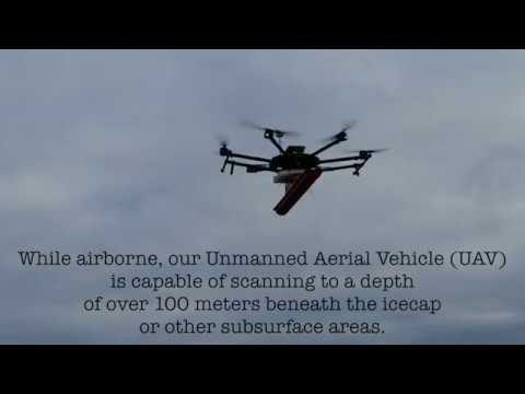
Drone with Ground Penetrating Radar (GPR)
1.67K Views0 Comments0 Likes
GPR Drone technology can be used in areas where deep ground penetration is required but high resolution is not very important.
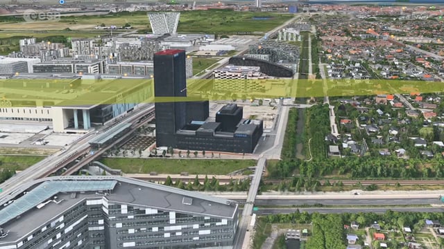
Ascend – Obstacle management solution
5.77K Views0 Comments0 Likes
Ascend XYZ in Denmark has developed a service to help airports to comply with airside safety regulations. The service uses satellites and aircraft combined with smart web-based software to record and monitor potential obstacles that encroach on restricted zones at airports and therefore pose a risk to flight safety. This project was supported within ESA's ARTES Applications programme.
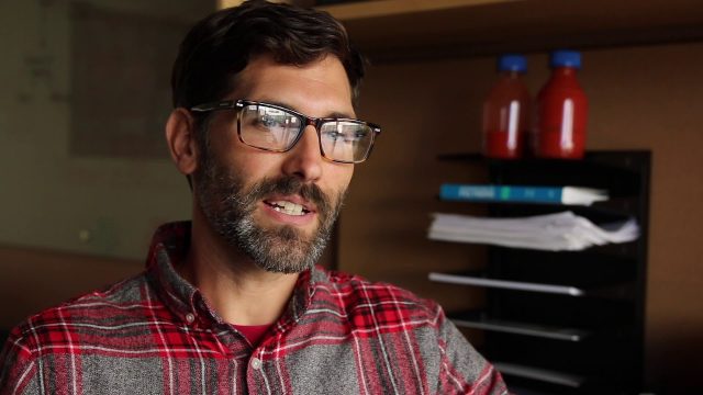
Stanford-Developed Technology Could Help Prevent Wildfires
775 Views0 Comments0 Likes
A new technology developed by Stanford engineers promises a way to prevent a significant percentage of wildfires and drastically reduce the cost of fighting them.
Extending Geospatial Capabilities to Support Government Missions
2.32K Views0 Comments0 Likes
The V1 Video team interviewed Rob Mott, vice president, Geospatial Sector, Intergraph Government Solutions, at the GEOINT Symposium in Washington, D.C. We spoke about the geospatial technological advancements, and how it is becoming more mission critical due to being more accessible and reliable. Intergraph is embracing new sensor platforms, Big Data analytics, and harnessing the cloud to ease integration and exploit geospatial information.


