
tdanielson / Added Videos
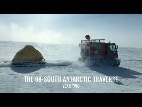
88-South Antarctic Traverse: Year Two
772 Views0 Comments0 Likes
The 470-mile expedition in one of the most barren landscapes on Earth provides the best means of assessment of the accuracy of data collected from space by the Ice Cloud and land Elevation Satellite-2 (ICESat-2).
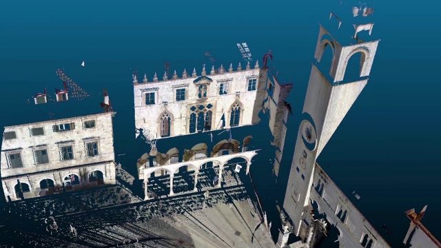
Teledyne Lidar Enables 3D Data Acquisition, Visual Effects for HBO’s Game of Thrones
813 Views0 Comments0 Likes
Vektra generated 3D point clouds in Dubrovnik using various lidar technologies including Teledyne Optech’s Maverick mobile lidar system and Polaris fixed terrestrial scanner. The lidar point clouds were then colorized with digital camera imagery and image fusion software.
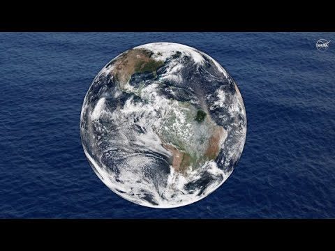
NASA Follows Changing Freshwater from Space
815 Views0 Comments0 Likes
The first question NASA researchers studying freshwater on Earth ask is: Where is the water?
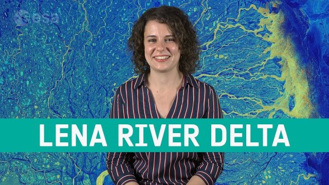
Earth from Space: Lena River Delta
807 Views0 Comments0 Likes
Copernicus Sentinel-1 takes us over Lena River Delta, in Russia, in this week's edition of the Earth from Space program.
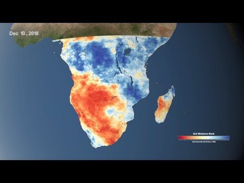
Using NASA Data to Monitor Drought and Food Insecurity
748 Views0 Comments0 Likes
NASA's satellite imagery and model forecasts play an important role in monitoring the performance of crops worldwide and preparing for food shortages.
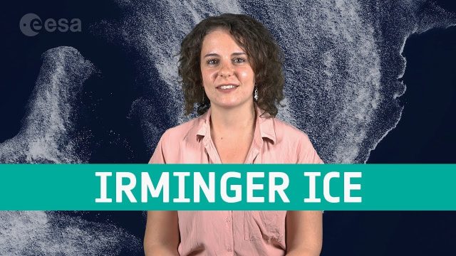
Earth from Space: Irminger Sea Ice Swirl
758 Views0 Comments0 Likes
Copernicus Sentinel-2 takes us over fragments of swirling sea ice off the coast of Greenland, in this week's edition of the Earth from Space program.
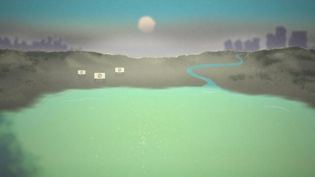
NASA Helps Warn of Harmful Algal Blooms
870 Views0 Comments0 Likes
With limited resources to dedicate to monitoring for harmful algal blooms, water managers are looking to new technologies from NASA and its partners to detect and monitor potential hazards in lakes and reservoirs.
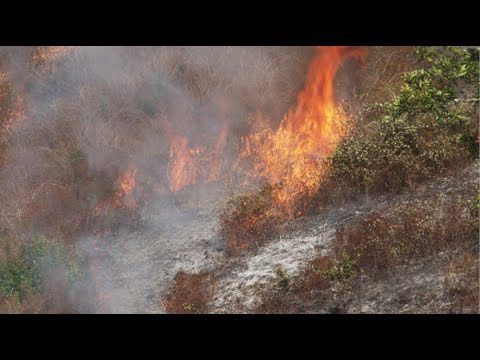
NASA and NOAA Take to the Air to Chase Smoke
843 Views0 Comments0 Likes
NASA, NOAA and university partners are taking to the skies, and the ground, to chase smoke from fires burning across the United States.
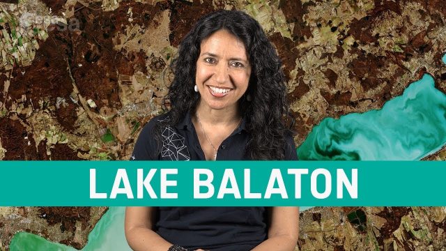
Earth from Space: Lake Balaton
686 Views0 Comments0 Likes
In this week's edition of the Earth from Space program, the Copernicus Sentinel-2 mission takes us over the largest lake in central Europe: Lake Balaton in Hungary.
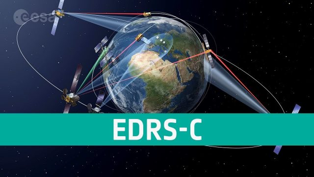
EDRS-C SpaceData Highway
713 Views0 Comments0 Likes
EDRS has been designed to enable fast and reliable optical data transfer from low earth orbiting satellites to the ground.


