
tdanielson / Added Videos
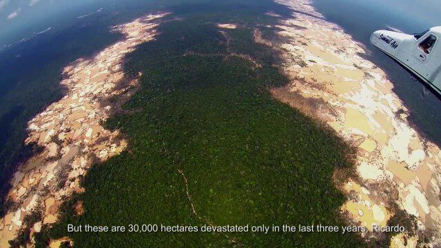
Shocking Images of Environmental Devastation in Peruvian Rainforest
3.12K Views0 Comments0 Likes
Güido Lombardi, a Peruvian journalist, tells in his news radio program at RPP Noticias the impressions that he got after overflying the affected areas by the illegal mining in Madre de Dios, in the Peruvian rainforest. These images where captured by the Carnegie Airborne Observatory.

Google Glass Explorer Story: WWF’s Sabita Malla
2.58K Views0 Comments0 Likes
WWF's Sabita Malla is exploring how Glass can help protect rhinos.
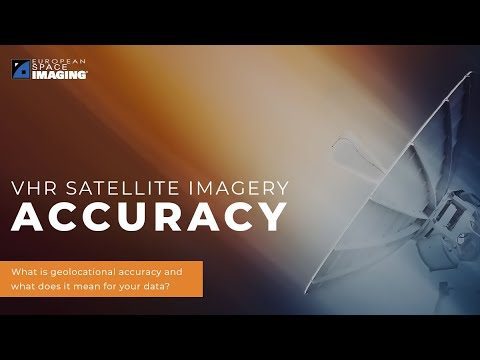
Why Geolocational Accuracy Matters
548 Views0 Comments0 Likes
Satellite imagery has revolutionised industries, all around the world. The resolution and clarity of these images keeps increasing and because of that, it is important to understand the geolocational and geospatial ac...
9_10 Location Surveillance Broadcast (Phone Tracking, Global Road Map and More)
4.33K Views0 Comments0 Likes
This GeoSpatial Stream broadcast discusses location surveillance and how portals are providing cellphone locations as a paid service; the Global Road Map and its quest to limit environmental impact; Canada's investment in a global survey of surface water; NATO's Joint Intelligence, Surveillance and Reconnaissance capability; industry news from Esri, Ocean Optics and PCI Geomatics; opinions on location surveillance; and more.
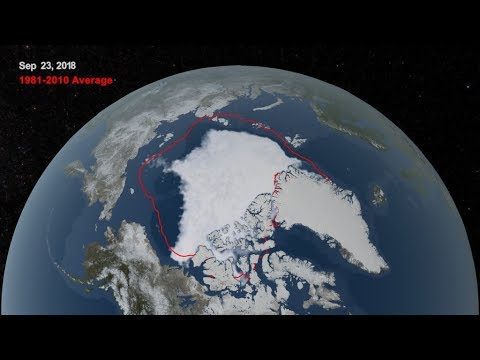
2018 Arctic Sea Ice Ties for Sixth Lowest Minimum Extent on NASA Record
773 Views0 Comments0 Likes
Arctic sea ice reached its annual minimum extent Sept. 19, and then again on Sept. 23, 2018. NASA works with the National Snow and Ice Data Center to track sea ice in the Arctic as it grows to a maximum extent thro...
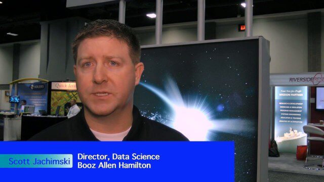
Data Leading a Geospatial Revolution
2.15K Views0 Comments0 Likes
The V1 Video team interviewed Scott Jachimski, director of Data Science at Booz Allen Hamilton, at the GEOINT Symposium in Washington, D.C. We spoke about data science and the need to improve our ability to leverage the mass amounts of data that we’re collecting. Booz Allen Hamilton is leveraging analytical workflows and bringing disparate data together in a “data lake” approach that brings them out of silos to allow the data to help tell you what to do.
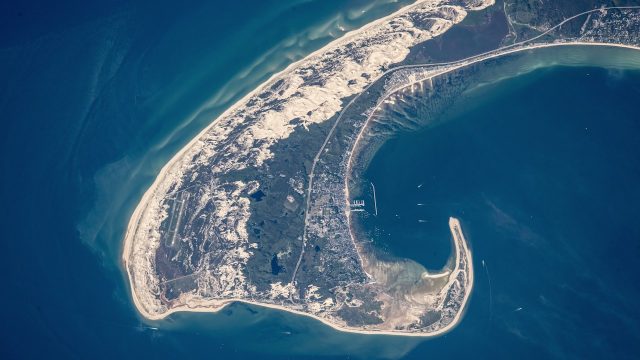
NASA Earth Observatory Goes to the Beach
5.65K Views0 Comments0 Likes
This video from NASA Earth Observatory shows the satellite and space-station view of various shorelines across the United States.
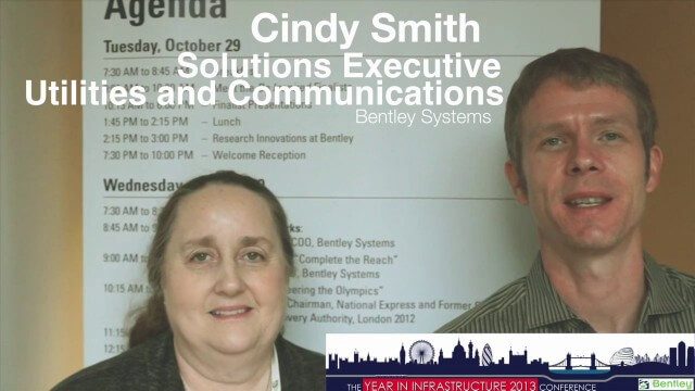
Cyndi Smith Interview
4.95K Views0 Comments0 Likes
Todd Danielson interviews Cyndi Smith, solutions executive, Utilities and Communications, Bentley Systems. They talk about new innovations for Electric Utilities as well as the Bentley Substation product.
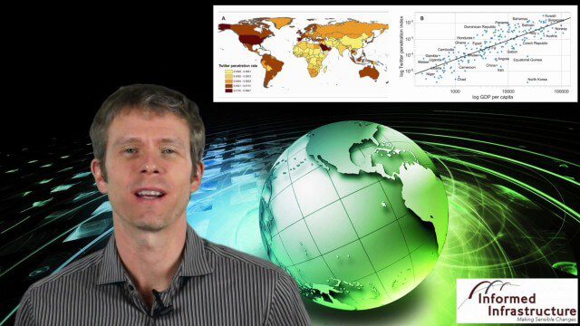
GeoSpatial Stream 11_18 (protected areas, geolocated tweets, infrastructure investment and more)
3.61K Views0 Comments0 Likes
This Daily Digest was published on 11/18/2013. Topics covered include identifying protected habitat areas, satellite imagery legislation, geolocated Tweets to reveal travel patterns, Indonesian infrastructure investment, and more.
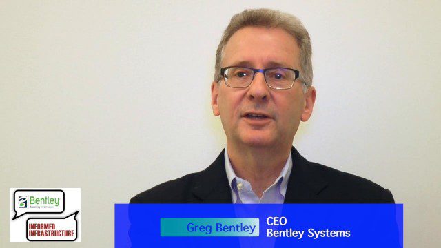
Greg Bentley: Extending the Intelligent Model
5.68K Views0 Comments0 Likes
Informed Infrastructure spoke to Greg Bentley, CEO of Bentley Systems, at the company’s CONNECTION roadshow kickoff in Philadelphia. We spoke about the company’s announcements at the event as well as their continued extension of intelligent modeling to better-performing assets and projects.


