
tdanielson / Added Videos

NASA: 2017 Takes Second Place for Hottest Year
4.71K Views0 Comments0 Likes
Earth's surface temperatures in 2017 were the second warmest since since 1880, when global estimates first become feasible, NASA scientists found. Global temperatures 2017 were second only to 2016, which still holds t...

4_16 Drones/UAS Broadcast (Earth Day, Mysterious Methane and More)
3.97K Views0 Comments0 Likes
This GeoSpatial Stream broadcast discusses important FAA practices impacting drone/UAS use; an article that digs deeper into the many possible consequences of FAA's actions; a mysterious methane hotspot in the U.S. Four Corners area; industry news from Hexagon, Airbus Defence and Space, and SimActive; Earth Day; and more.

Pioneering LiDAR Adoption in China
1.47K Views0 Comments0 Likes
Informed Infrastructure interviewed Yanjing Liu, CEO of Five Star Electronic Technology, at the RIEGL LiDAR Conference in Guangzhou, China. Liu left his academic position at Virginia Tech and companies he founded in the United States to pioneer the use of LiDAR in China. We spoke about the hard work needed to set up this capacity as well as some landmark projects, including 3-D mapping of the Great Wall.
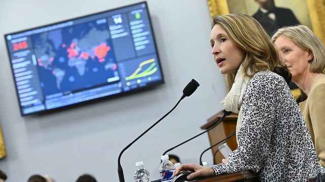
Professor Lauren Gardner Discusses How the COVID-19 Dashboard is Built and Maintained
1.06K Views0 Comments0 Likes
The COVID-19 dashboard built by the Center for Systems Science and Engineering (CSSE) at Johns Hopkins University gets over a billion requests a day from around the world. Since its creation in late January 2020, it h...
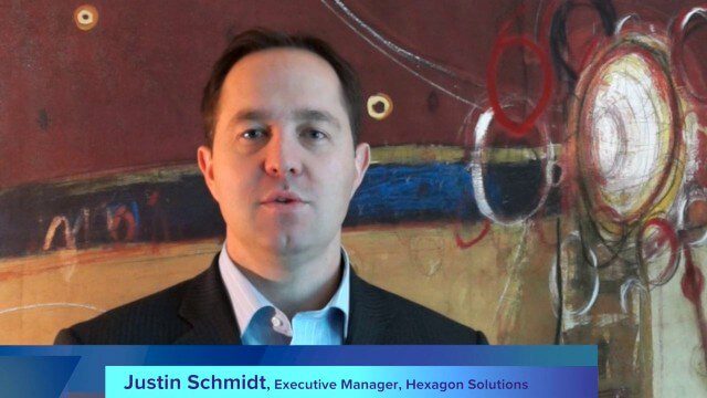
Hexagon’s Schmidt Discusses Water Solutions
2.95K Views0 Comments0 Likes
Todd Danielson interviews Justin Schmidt, Executive Manager, Hexagon Solutions, at the HxGN LIVE event in Las Vegas, Nevada. They discuss the Hexagon Smart H2O Solution (the foundation for Hexagon Solutions), complete water systems and their challenges, dam monitoring and failures, and more.
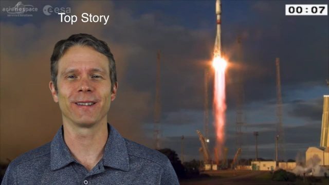
4_28 Earth Imaging Broadcast (Sentinel, Drones and More)
2.54K Views0 Comments0 Likes
This Earth Imaging-themed GeoSpatial Stream broadcast discusses the recent successful launch of the European Space Agency's Sentinel 1-B satellite; UAS (or drone) news about a 3D-printed vehicle helping ships navigate Antarctic seas as well as the economic impact of the Micro Aerial Vehicle market; a NASA study on the greening of Earth caused by increased carbon dioxide; industry news from 5D Robotics, LizardTech, the U.S. Geospatial Intelligence Foundation and Teledyne Optech; a video about the Sentinel satellites capabilities; and more.
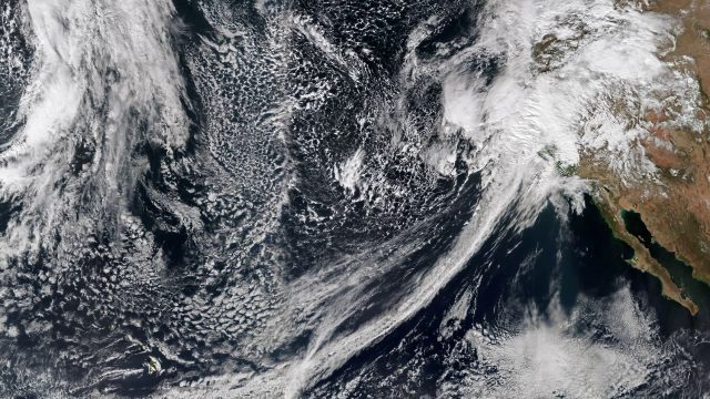
Recent Rains Drench California
5.17K Views0 Comments0 Likes
Recent rainfalls have drenched the state of California. Imagery from NASA satellites show the result of several atmospheric rivers, known as the Pineapple Express, which carry moisture from as far away as the Hawaiian Islands.

Spike Kickstarter Video from ikeGPS
3.86K Views0 Comments0 Likes
Spike is the world’s first laser accurate Smartphone measurement solution enabling you to safely and accurately measure an object up to 600 feet (200 m) away. With a simple snap from your Smartphone, you can measure height, width, and area from a photo, and capture target location. Measurement and location are saved with the picture, and can be easily shared via email as a PDF or Spike File (XML).
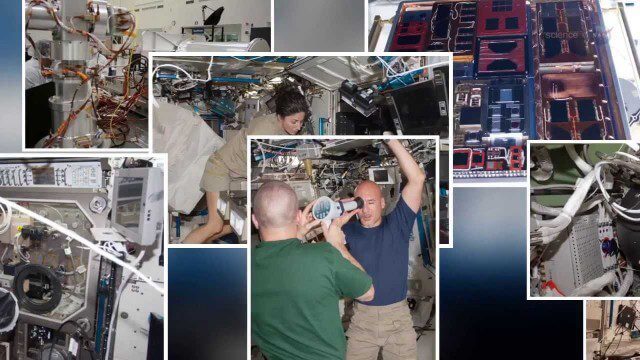
International Space Station Gets a Ten-Year Extension
1.95K Views0 Comments0 Likes
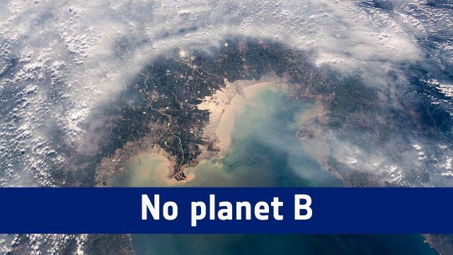
No Planet B
1.18K Views0 Comments0 Likes
A message from ESA astronaut Alexander Gerst from on board the International Space Station to mark the start COP24, the UN Climate Change Conference taking place in Katowice, Poland.


