
tdanielson / Added Videos
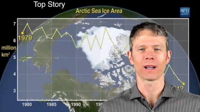
1_28 Climate Change Broadcast (Polar Vortex, China’s Pollution Plumes, Broadband Mapping and More)
10.49K Views0 Comments0 Likes
This GeoSpatial Stream broadcast examines the latest effects of Climate Change on the Polar Vortex; China's pollution plumes monitored from space; Kids Making Sense; broadband mapping; the latest announcements from Boundless, Cityworks, Fugro Pelagos and Blue Marble Geographics; and more.
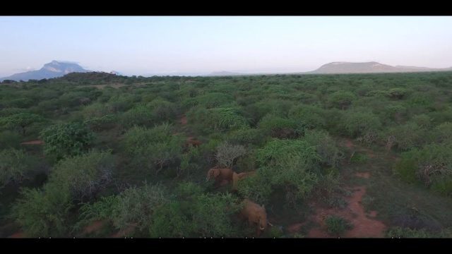
Wildlife Works Kasigau Corridor REDD+ Project, Kenya
969 Views0 Comments0 Likes
Founded in 1997, Wildlife Works has been a pioneer in market based solutions for conservation for 21 years.
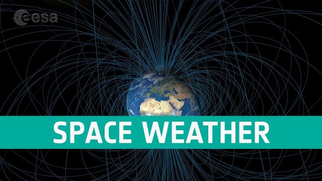
Space Weather Could Be Worse in the North
381 Views0 Comments0 Likes
Instead of a symmetrical distribution of energy between the northern and southern hemispheres through the year, scientists have used data from ESA’s Swarm mission, to discover that electromagnetic energy is preferentially channelled to the northern hemisphere.
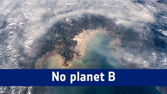
No Planet B
1.18K Views0 Comments0 Likes
A message from ESA astronaut Alexander Gerst from on board the International Space Station to mark the start COP24, the UN Climate Change Conference taking place in Katowice, Poland.
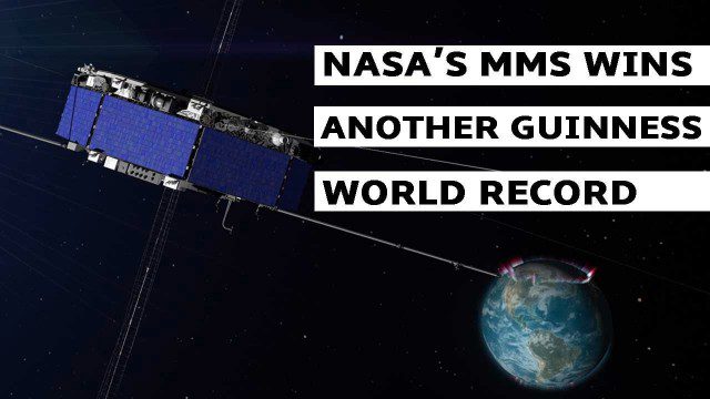
NASA’s MMS Satellite Breaks World GPS Record
1.38K Views0 Comments0 Likes
NASA's MMS mission now holds the Guinness World Record for highest altitude GPS fix: 43,500 miles above Earth’s surface.
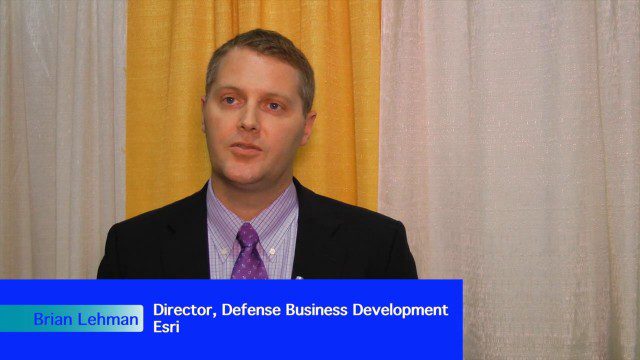
Analytics, Ease of Use and Accessibility at Esri
1.87K Views0 Comments0 Likes
The V1 Video team interviewed Brian Lehman, director of Defense Business Development at Esri, at the GEOINT Symposium in Washington, D.C. We spoke about task-driven workflows that streamline multi-step processes, incorporating automation to ease the tedious nature of some lengthy geospatial processing and analysis functions. The company has developed a number of analytic tools that also ease integration, harnessing the power of geography to integrate intelligence data.
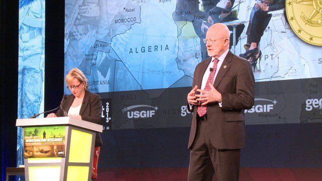
GEOINT Keynote: James Clapper, Director of National Intelligence (Part 4/Q&A)
2.89K Views0 Comments0 Likes
Part 4 of the GEOINT Symposium keynote address from James Clapper, Director of National Intelligence, completing the Q&A session.

7_30 Asia-Pacific Broadcast (Deforestation, Beijing Smog and More)
4.57K Views0 Comments0 Likes
This Asia-Pacific-focused GeoSpatial Stream broadcast discusses deforestation in Indonesia; IBM joining Beijing's fight against smog; Asian effects on mobile-device charging; Pakistan's move toward space technology; satellite imagery use in Australian vineyards; industry news from Spatial Dimensions, ScanEx, Maptek and Esri; geospatial insight into Indonesian politics; and more.
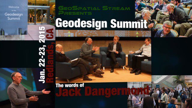
Geodesign Summit 2015: The Words of Jack Dangermond
4.01K Views0 Comments0 Likes
The Geodesign Summit 2015 featured a variety of speakers and topics focused on designing a better and smarter built environment. This video produced by GeoSpatial Stream highlights key thoughts and ideas from Esri President and Founder Jack Dangermond.

5_15 Asia-Pacific Broadcast (Sri Lanka Transit GIS, China World Map and More)
3.79K Views0 Comments0 Likes
This Asia-Pacific-focused GeoSpatial Stream broadcast discusses a train accident in Sri Lanka and how a new GIS may prevent future collisions; India's groundwater mapping; China's World Map online; Australia's 2014 Esri Young Scholars Award winner; industry headlines from Trimble, Tencent and NavInfo, and NZ Aerial Mapping; the World Under Water Web site; and more.


